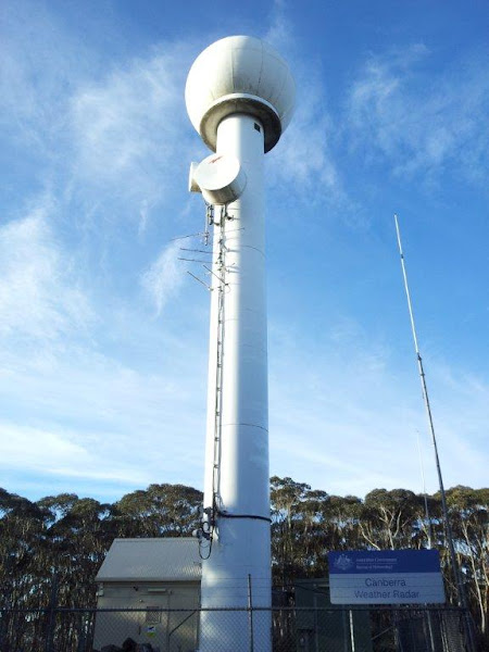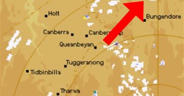
Here’s a picture of the Canberra Region weather radar operated by the Bureau of Meteorology. I thought this might be of interest to a few people. The radar is located in the Tallaganda State Forest south east of Canberra. It’s something that most people I know use all the time, but nobody has ever seen.
For those who like to get their geek on, it’s a WSR-74S. WSR stands for “Weather Surveillance Radar”, the “74” indicates the year the first system was produced and the “S” suffix indicates that it operates at S-band in the RF spectrum, which is around 10cm wavelength or 3GHz frequency. The alternative WSR-74C operates at C-band.
These guys are pretty old, and Wikipedia tells me that they’ve mostly been replaced in the US by the WSR-88D.


