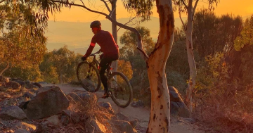
The kids are keen to climb Black Mountain during this school holiday period.
I wonder if someone can advise on how long it takes to do the walking track from the Botanic Gardens at a gentle pace?

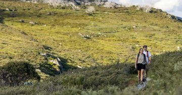
The kids are keen to climb Black Mountain during this school holiday period.
I wonder if someone can advise on how long it takes to do the walking track from the Botanic Gardens at a gentle pace?
Bliss Solutions provides their clients with custom built cleaning service packages to suit their individual requirements.
SolarHub has helped more than 12,000 customers reduce their energy bills and greenhouse gas emissions by harnessing the power of the sun.
A passionate team of Canberrans helping other Canberrans secure their home loans. No frills, no commissions, no brainer.
BDN has provided legal services to to Canberra, Queanbeyan and the region for over 160 years.
 Blueline Plumbing & Gas
Blueline Plumbing & Gas are your local specialists in Canberra for all domestic plumbing and gas fitting needs.
BrandPro’s in-house design team has created award-winning promotional campaigns that have opened new doors for organisations, large and small.
Through a spirit of entrepreneurialism, collaboration, and future-forward thinking, we have earned an industry-leading reputation and a huge base of long-lasting client partnerships that are built on a foundation of trust and respect.
DFK Everalls is a Canberra-based, multifaceted accounting and financial services firm that provides private and business clients with comprehensive financial and strategy tax advice.
Want the best Canberra news delivered daily? Every day we package the most popular Riotact stories and send them straight to your inbox. Sign-up now for trusted local news that will never be behind a paywall.