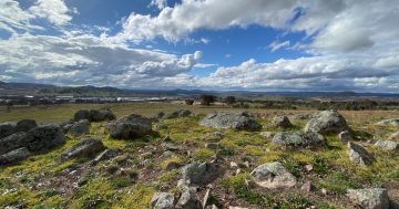
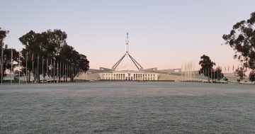
The national capital endured record stretches of heat in 2019. Photo: File.
Last year was the ACT’s warmest on record and the driest since 1982, including a record number of days above 35 degrees and 40 degrees, according to the Bureau of Meteorology’s annual climate statement.
As the drought dragged on, rainfall was well below average, particularly in winter and spring.
Canberra’s weather reflected a national warming trend that has seen average temperatures rise by a degree since 1910.
The Bureau said that daytime maximum temperatures were well above average at all ACT sites. Canberra Airport had an annual mean maximum temperature of 22.6 degrees, the highest since records at the Airport began in 1939, surpassing the 22.0 degrees set last year. This was 2.7 degrees above the long-term average of 19.9 degrees.
Maximum temperatures at Canberra Airport were above average in every month and at least 1 degree above average in every month except May. January had the highest mean maximum temperature on record (34.5 degrees) for any month at Canberra Airport, which was 6.3 degrees above average and 1.7 degrees above the previous record set in January 2017.
Overnight minimum temperatures were the highest on record for January but close to average in other months.
Combining daytime and night-time temperatures, mean temperatures in 2019 were well above average, with Canberra Airport’s annual mean of 14.9 degrees the highest on record at that location.
Summer 2018-19 had the highest mean maximum temperatures on record, with winter and spring the second-warmest on record. July and December also had record high maximum temperatures.
The warmest day was 41.6 degrees on 16 January, Canberra’s equal third-hottest day on record. The coolest day was 14 July when the temperature topped out at 8.6 degrees. The mean daily minimum temperature for Canberra Airport was 7.1 degrees, which is 0.6 degrees above the long-term average of 6.5 degrees.
The coldest morning was -5.2 degrees on 23 August, and the warmest morning was on 31 January when the minimum temperature was 22.2 degrees.
In mid-January, Canberra Airport had a record four consecutive days of 40 degrees or above from 15 to 18 January as part of a broader heatwave affecting much of Australia.
In December, another heatwave saw Canberra Airport reach 41.1 degrees on 21 December, the first time it has reached 40 degrees in Canberra in that month.
Canberra Airport had a record 33 days of 35 degrees or above in 2019, including 19 days in January alone, easily a record for a single month. January also had a record eight nights of 20 degrees or above.
Rainfall in 2019 was well below average at all ACT sites, with most sites around 40 per cent below the long-term average.
Total rainfall for Canberra Airport was 358.6 mm, which is 58 per cent of the long-term average of 615.6 mm. This is the driest year since 1982, and the fifth-driest on record.
Canberra Airport had its third-driest winter and fifth-driest spring on record, with the combined winter-spring rainfall being the third-lowest after 1982 and 1940.
Despite the warmer trend, snow fell during an AFL match at Manuka Oval, the first known instance of snowfall during a match.
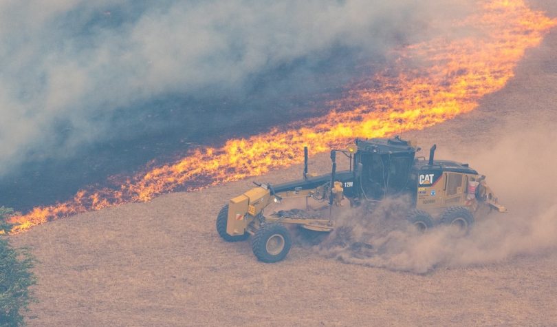
The heat and dry led to bushfires across Australia, including the North Black Range bushfire east of Canberra. Photo: NSW RFS.
Nationally, the Bureau said that for the first time Australia experienced its warmest and driest year on record, exacerbating an already parched continent and, and along with persistent high winds, feeding the nation’s bushfire crisis.
It said the changing climate had been a factor in the ongoing fire situation, with Australia warming by a degree since 1910.
Australia’s mean temperature in 2019 was 1.52 degrees above average, making it the warmest on record since consistent national temperature records began in 1910 and surpassing the previous record of 1.33 degrees above average set in 2013.
Meanwhile, the national average rainfall total in 2019 was 277 mm, 60 per cent of the expected annual total and the lowest since consistent national records began in 1900. This was 11 per cent lower than the previous record low of 314 mm set during the Federation drought in 1902.
Bureau of Meteorology head of climate monitoring Dr Karl Braganza said there were multiple factors influencing Australia’s weather patterns in 2019.
“Most of this year, Australia’s climate has been dominated by a very strong positive Indian Ocean Dipole, which acted to both warm and dry Australia’s landscape, particularly from around the middle of the year,” he said.
“We also saw the influence of a rare Sudden Stratospheric Warming event high above the south pole, which acted to push our weather systems northward and compound the warmer and drier than average conditions over southern Queensland and NSW during spring, amplifying the fire weather.
“The other key factor at play is that Australia’s climate has warmed by more than a degree since 1910, which means very warm years like 2019 are now more likely to occur, while the trend in recent decades has been for drier winter and spring seasons in the south.”
The Bureau says that in recent weeks, some of the key drivers of the recent warm and dry patterns over Australia have eased. As a result, rainfall for the coming months is expected to be average to below average in the east, while wetter than average conditions are possible for much of Western Australia and South Australia. However, temperatures are likely to remain warmer than average over the rest of summer.
“Unfortunately the outlook is not indicating a widespread return to wetter than average conditions over drought and fire-affected parts of eastern Australia. But with the likely return of the monsoon by mid-January for northern Australia, it raises the chance that we could see some periods of higher rainfall move south in the coming months,” Dr Braganza said.