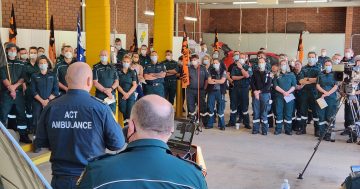
Our Emergency Services Agency is making sure you know about the work being done by their Mapping and Planning Support Group (MAPS) down in the Victorian fire zones.
- “More than 30 volunteer mapping specialists from the ACT Emergency Services Agency’s (ESA) Mapping and Planning Support Group (MAPS) have been assisting Victoria Police and Australian Defence Force search teams,” ESA Manager Media and Community Information Darren Cutrupi said.
“Initially our MAPS volunteers were deployed around the state directly into the affected communities but have since converged on Kilmore and Williamstown Police Stations,” he said.
“They have assisted with the initial establishment of the information system to support the search of burnt out properties.
“Following an instruction from the Coroner, they are now providing maps and spatial intelligence for the police and army who are now searching the burnt areas for a second time.”
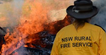
MAPS was formed by the ESA back in 2005 to provide GIS/Mapping support during emergencies in the Canberra region. It is made up of a group of six coordinators and a register of more than 40 volunteers. All the volunteers are spatial information or Geographic Information System (GIS) professionals. MAPS members carry out the work on a volunteer basis but work very closely with the professional staff of ESA and local NSW RFS personnel in the surrounding region. Many of the volunteers are members of the Spatial Sciences Institute.