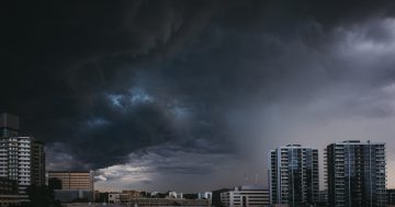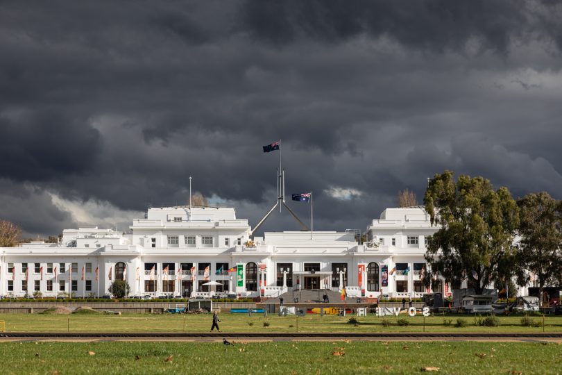
Storms are on the way – just what the doctor ordered in lockdown (not). Photo: Michelle Kroll.
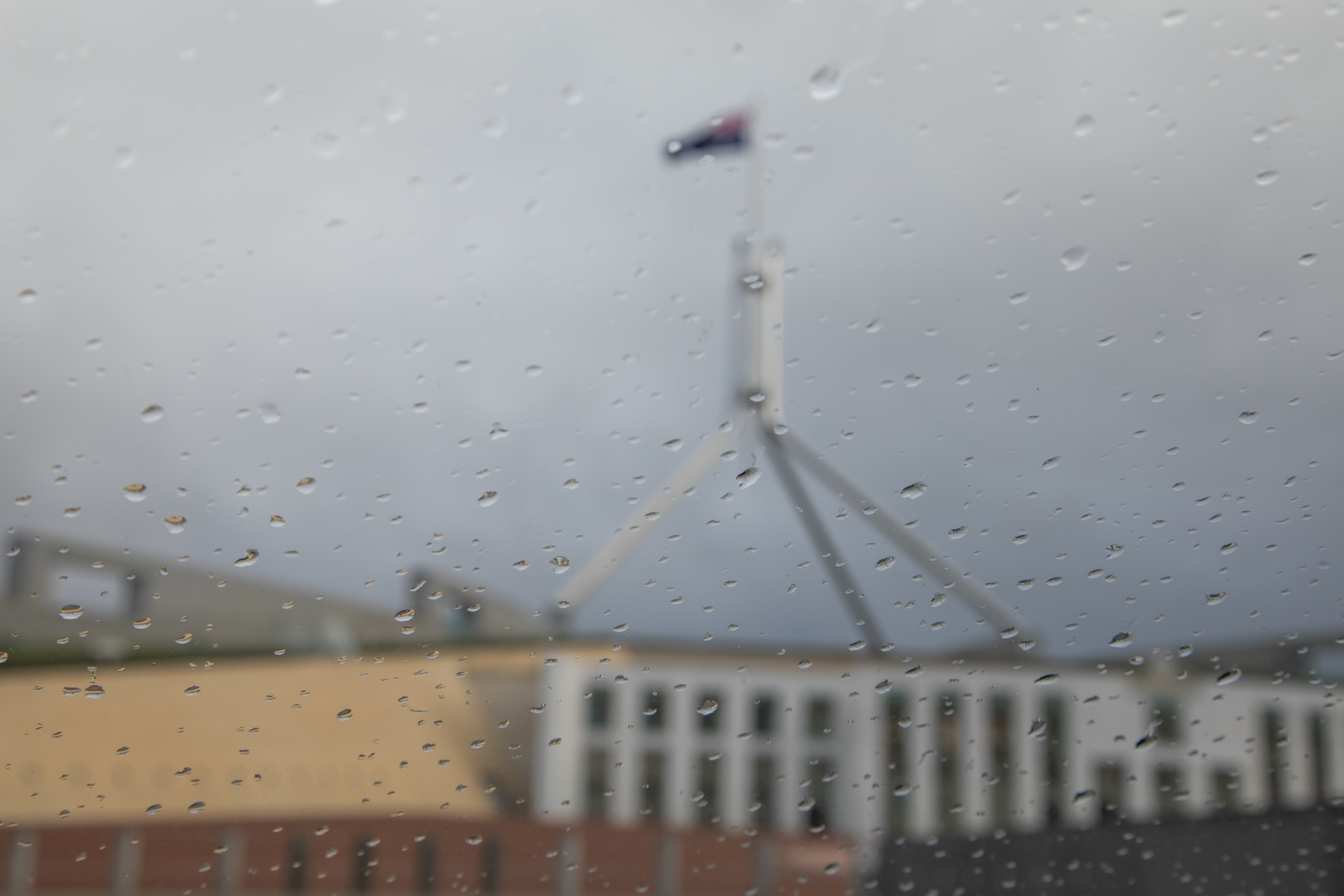
If a socially distanced picnic of five friends is your only current form of interaction, you might be less than heartened to learn that heavy rainfall and storms are on the way for Canberra later this week.
However, Bureau of Meteorology forecaster David Wilkie says there is a light at the end of the tunnel – things should be looking up by the long weekend.
“There might be a shower or two on Saturday, but it really shouldn’t be too bad,” he said.
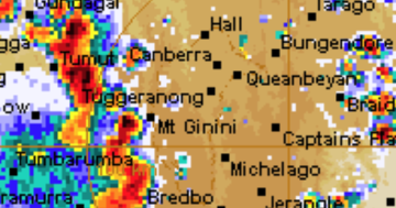
David said the cause of this week’s miserable weather is a trough moving across NSW, bringing humid air and therefore rain and storms with it.
“We’ll see a series of days when we have a high chance of thunderstorms with Wednesday and Thursday being the most likely,” he said.
Monday and Tuesday are the best days to get out and enjoy the sunshine, with light winds the only thing impeding the otherwise perfect days. A top of 18 degrees is to be expected today (Monday, 27 September) and a maximum of 20 degrees tomorrow.
Then things take a turn for the worse.
On Wednesday, the region can expect 25 to 30 mm of rain and then another 10 to 15 mm on Thursday.
Over the week, somewhere between 30 and 50 mm of rain is likely.
To give you an idea of just how much rain this is, September’s average rainfall is 47 mm.
“If we go into the higher range of what we are expecting, we will see our monthly rainfall in a matter of days,” David noted.
In other good news, this kind of rainfall is something Canberra gets from time to time, so isn’t likely to be of real concern.
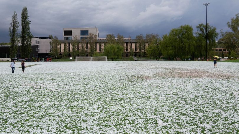
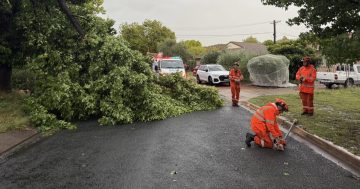
Who remembers this storm day? Photo: ANU.
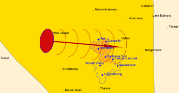
But David adds a caveat. The storms expected in the region could be severe.
“We are keeping an eye on that for the moment, but it’s a bit far out to accurately predict,” he said.
If there are to be severe storms, these are most likely to happen on Thursday.
Thunderstorms are possible from Wednesday to Friday, however.
“Oftentimes, though, Canberra will miss out on storms and they will instead move around in the region,” David said.
“But that wasn’t the case with the January 2020 hailstorm.”
All of this wet weather isn’t entirely unexpected either.
Most of the climate models David and the team at the BOM are running indicate that the period from now until at least January 2022 will be wetter than average.
“October, in particular, is looking like quite a wet month, so expecting more weeks or periods like this is not entirely unusual,” David said.
“While it’s hard to speculate on storms, the kind of outlooks that we have definitely suggest cooler days, more rain and warmer nights.”
For emergency help during floods and storms, call the ACT State Emergency Service on 132 500.