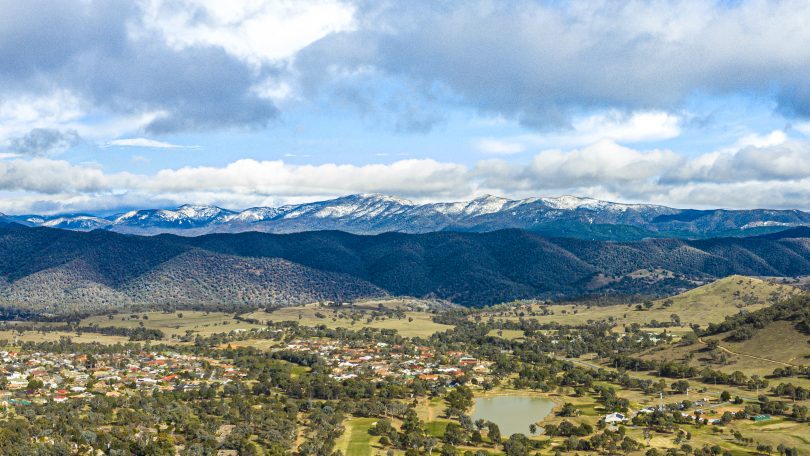
The Brindabellas may see the first dusting of snow this weekend. Photo: Terry Cunningham.
The resilience of the few who have not turned on their heaters yet in 2021 will be put to the test this weekend and into next week by a blast of cold air and strong winds across the region.
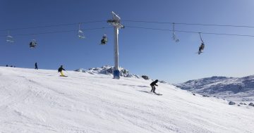
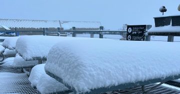
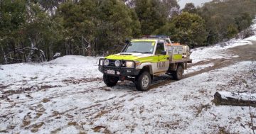
There is also a very high chance we will see the first dusting of snow on the Brindabella Ranges, while heavier falls of snow are expected in the Snowy Mountains area.
Temperatures will struggle to reach double figures on Saturday and Sunday in the ACT, while the overnight temperature on Saturday night and Sunday morning will plummet to at least minus-5 degrees Celsius.
The temperature at the Mt Ginini weather station is expected to drop to minus-7, followed by a maximum of 3 on Sunday with the chance of snow flurries.
Snow is also possible on the ranges above 1100 metres, while west to north-westerly winds of 20 to 30 km/h will increase to 35 km/h, which will push a blast of very cold air across the region.
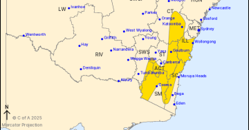
The cold snap that arrived on Friday (14 May) will linger into early next week and will affect all areas of the ACT, Central Tablelands, Southern Tablelands and Snowy Mountains, where sheep graziers have been warned of the risk of losses of lambs and sheep exposed to the big freeze.
There is a gale warning for coastal areas between Sydney and Eden, where strong winds are expected to reach speeds of up to 35 km/h.
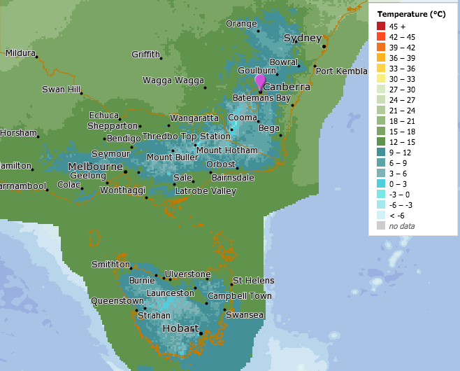
The blast of cold air over the region on Saturday morning. Image: BOM, MetEye.
In the Snowy Mountains, there is a very high chance of snow showers at Perisher and Thredbo from Saturday morning through to Monday (17 May). Westerly winds between 45 and 65 km/h will increase to 55 and 75 km/h before tending south-westerly at speeds of between 35 and 55 km/h.
The winter-like weather is the result of a cold front off the southern coast, followed by a second front on Saturday, that will bring markedly cooler conditions to the region.
By Monday, a large high-pressure system will bring clear skies and cold nights with a return of temperatures in the mid-teens until at least Thursday of next week.


