This just in from TAMS:
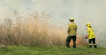
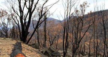
Work on the largest controlled burn conducted in the ACT for more than 30 years will commence tomorrow, Wednesday 3 April 2013, weather permitting. The Smokers Trail controlled burn in Namadgi National Park follows a series of large burns undertaken in the Park over the last three weeks. Covering an area of 6,000 hectares, the Smokers Trail burn is bounded to the west by the Corin Dam, to the north by Corin Dam Road, to the east by Smokers Trail and to the south by Cotter Hut Road.
For more information about the Smokers Trail controlled burn, please see the attached FAQs document.
Should make for a cracking sunset. Be sure to send pictures through to images@the-riotact.com .