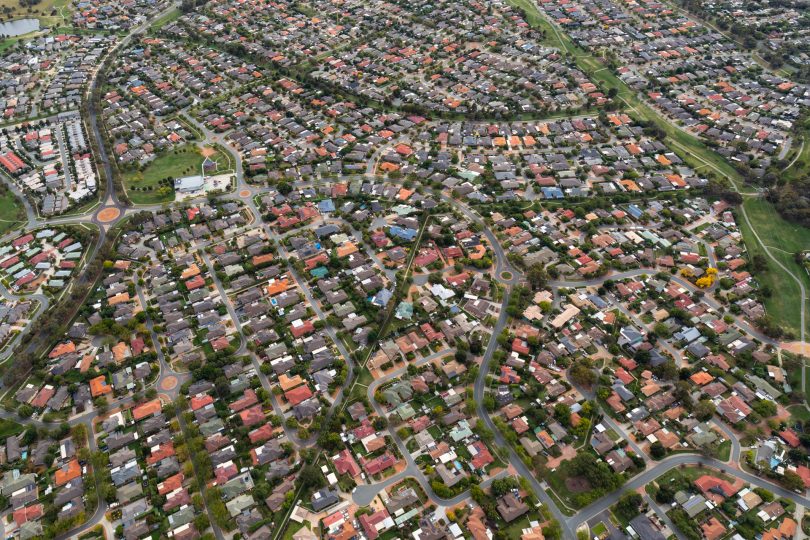
Residential housing in modern-day ACT. Photo: Michelle Kroll.
Have you ever applied for a bank loan and put your other half’s name down as the primary applicant because she’s earning more than you are? The guy who first bought the land we now know as Weston Creek did something similar.
You will have heard it was George Edward Weston, a thoroughly blameless and upright man from the East India Trading Company. The reality is, his name was a front.
The real owner’s last name was Johnston, none other than the son of Major Johnston, a leading military figure in the 1808 ‘Rum Rebellion’ against Governor William Bligh.
For obvious reasons, Johnston the younger suspected his name wouldn’t go down well with the new governor when requesting a sizeable parcel of land in the Canberra district, so he very politely asked his brother-in-law to put his name on the property title. Weston obliged.
So it should really be Johnston Creek.

The National Arboretum in Weston Creek. Photo: Michelle Kroll.
This story and many more like them are being told at one of this year’s Heritage Festival events. Canberra historian and cartographer Tony Maple and former ACT Surveyor-General Jeff Brown are presenting ‘Curious Cartography’ in Bungendore on Sunday, 1 May, covering a “medley of the interesting, curious and obscure aspects of the mapping of the ACT and region”.
Tony first delved into the world of maps while working in the Australian military. Firing off guns and planting explosive devices requires some knowledge of the land, and his job was to study and prepare these maps.
In the process, he stumbled across the very first maps of the ACT and his curiosity was piqued. He began digging into why the ACT takes the form it does today.
“The story of the survey and mapping of the federal capital territory and Canberra itself has many wonderful dimensions, not just about the cartography, but the people who did it,” he says.
It all begins with Robert Nixon, who arrived in Tasmania (then Van Dieman’s Land) in May 1821. He was granted a patch of land along the Clyde River in NSW before moving to Sydney and taking up the position of assistant surveyor in the Surveyor-General’s Department.
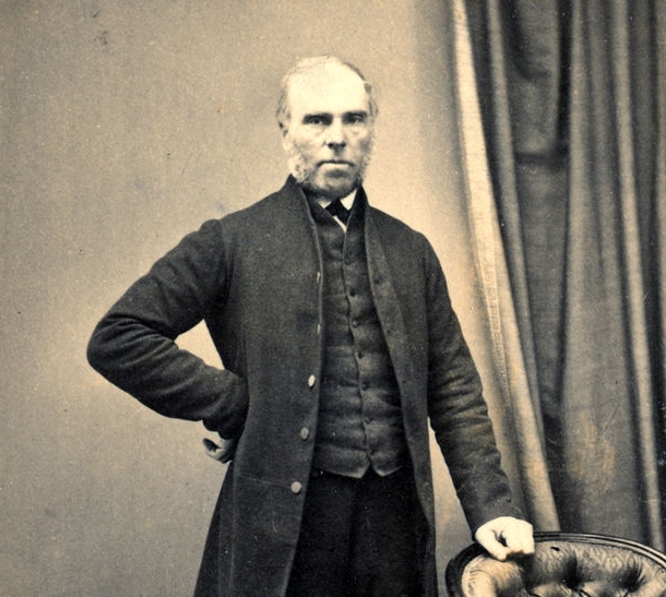
Robert Nixon, the man behind the first maps of the ACT. Photo: Public Domain.
His primary task was to put southern NSW on the map, and in 1828, he and his horses made it as far as the Goulburn Plains, which later became the site of Australia’s first inland city of the same name.
He continued south and stumbled upon a river junction the local Aboriginal tribe referred to as ‘quin bean’, or clear waters, before drawing up the first maps of the site of modern-day Queanbeyan and Canberra.
The next big name was Charles Scrivener, who – from 1896 – surveyed numerous sites across NSW to find a suitable site for a new capital city.
Bombala, Tumut and Buckley’s Crossing all came up before Dalgety near the Snowy Mountains was selected. However, this quickly soured when a delegation of Federal politicians nearly froze when they turned up at the site, while another politician was threatening High Court action if a single Commonwealth survey peg was driven into Dalgety soil.
In December 1908, the politicians had finally agreed on the safer Yass-Canberra district, and Scrivener and his team set up camp on the slopes of Kurrajong Hill (now Capital Hill) to investigate.
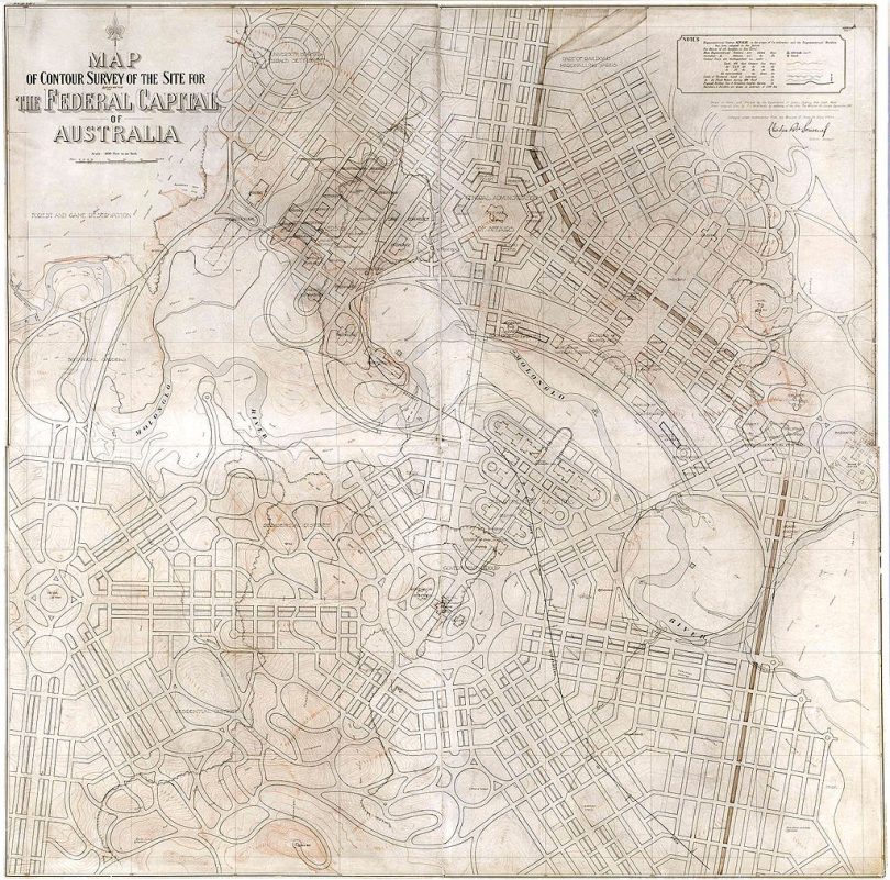
The contour map of Canberra drawn by Charles Scrivener, with Walter Burley Griffin’s plans over the top. Photo: Public Domain.
He suggested a boomerang-shaped territory of 2,630 square kilometres determined by the Cotter, Queanbeyan, and Molonglo rivers, with the potential for the Molonglo floodplain to make a central ornamental lake. Ideally, there would be railway access to Jervis Bay too.
Parliament liked what they heard and used his contour maps as the basis for a design competition, calling on architects across the world to come up with the best city layout.
Tony says that Scrivener wasn’t too happy when Sir Walter Burley-Griffin won and set about his own surveying.
“When the design competition made clear that Griffin was going to come in and take over the design of construction, Scrivener basically threw his pencil down and said ‘two years wasted’.”
The modern-day borders of the ACT are far from the clean lines in Scrivener’s vision, largely due to the fact a few years earlier, the NSW Government had opened up smaller pockets of land to squatters rather than distributing big parcels to the ‘landed gentry’. They also refused to relinquish Queanbeyan.
“Zoom into a modern-day map of the ACT and there’ll be strange border anomalies – little kinks, chinks, and strange intrusions into the ACT border. These are artefacts from when we were part of NSW.”
Tony says the presentation covers a “lot of ground”, from their earliest maps and surveys of the Canberra, Queanbeyan and Bungendore districts through to the present day and “a lot of interesting periods in-between”.
Curious Cartography will be held at the QPRC Council Chambers, 1 Majura Street, Bungendore, on Sunday, 1 May, from 1 pm to 2:30 pm. Register online for free at Eventbrite.