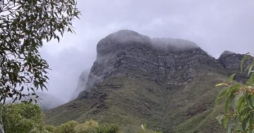
I wage a ceaseless battle to stop my sons bodies turning into X-Box driven mush. As part of the struggle, I recently took them out to do the Camel’s Hump walk at the Tidbinbilla Nature Reserve. The Camel’s Hump is a prominent peak in the range of hills that run along the Western side of the reserve.
This walk to the Hump is one of the longest and most difficult of the marked walks in the reserve. The long option starts from the Visitor Centre and is over 20km return, but there is a shorter option starts near the bottom of the range and is indicated as being about 12 km return. 20km up a mountain is a pretty long hike to attempt in one day, and with 3 teenagers in tow I decided we should take the shorter option.
The walk starts at the Mountain Creek car park in the reserve, and follows the fire trail to the base of the Hump. The first 1500m or so is pretty steep, but after that it’s a steady uphill hike the rest of the way. Interestingly, the signs indicate that the walk to the Hump is less than 6km, but my GPS showed a total distance travelled of over 7km. My GPS also indicated a climb from the car park to the base of the Hump of around 500m.
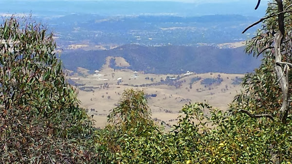
There are spectacular views along the way out over South Canberra, and we stopped frequently to rest, eat, drink, talk, and enjoy the scenery. With all the stops, it took us about two and a quarter hours to get to the base of the Hump.
The fire trail actually circles around the peak, but previous hikers have created a not very clear path off the trail and up through the scrub to the top. After a breather and some lunch we started the final climb to the peak, but we didn’t quite get there. The final climb from the trail involves scrambling on all fours over very loose and treacherous footing up a fairly extreme slope, and there was a tremendous gale blowing from the West as we approached the top. It got to the point that we were being so buffeted by the wind that we were having trouble maintaining our position on the slope. A fall at that point would’ve involved a long and rapid drop, with pretty serious consequences at the end. And while researching the walk I’d read a story on a local hiking blog where a walker had broken his ankle on the nearby John’s Peak, and it had taken most of the afternoon to get him off.
We all agreed that discretion is the better part of valour, so we scrambled and slid on our bums back down the slope to the fire trail and started walking back to the car. The return journey, being downhill, was easy going and took 90 minutes, with two 5 minute breathers included.
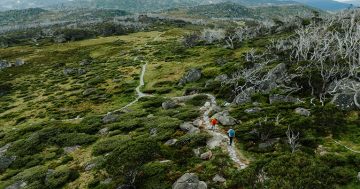
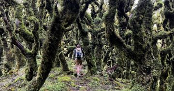
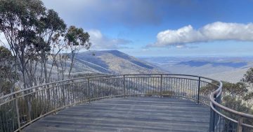
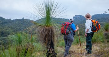
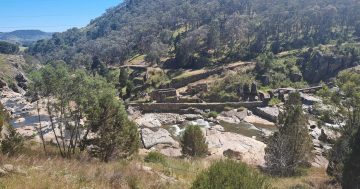
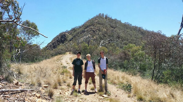
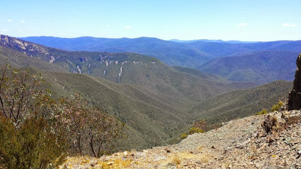
The three photos show my boys as we near the base of the Hump, a view across Tuggeranong from near the peak with the tracking station in the foreground, and the view from near the peak across the formidable and awe-inspiring terrain to the west of the reserve.
As usual, we were equipped with food, lots of water, sunscreen, 1:25000 topographical map, compass, GPS, two handheld radios, mobile phones, a medical kit, space blankets, a hootchie, paracord, a Leatherman tool and a couple of sturdy knives. No EPIRB as yet, but I’ll probably be getting one of them for future walks. The level of equipment might seem overly cautious given the nature of the walk, but I’ve got this far by being cautious and I intend to keep going that way. Conversely, I’ve passed people on trails out in that area who have been miles from any source of assistance while dressed in fashionable street wear, shod in fragile street sandals and equipped with absolutely nothing at all. Disasters waiting to happen.
Anyway, this is a really excellent walk through some very beautiful country. It’s pretty long, but anyone with a moderate level of fitness should be able to complete it without too much trouble, and the rewards are definitely worth it.


