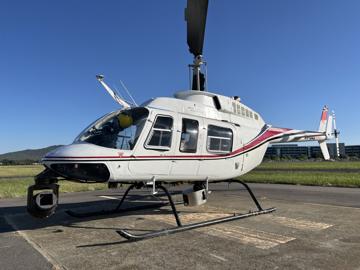
The helicopter arrived in Canberra on Thursday, 7 March, ahead of a month’s work. Photo: Evoenergy.
Evoenergy has flagged using drones to check Canberra’s electricity network for faults. But first, they’ve called in a helicopter.
Every year in early autumn, the local electricity and gas distributor flies a helicopter fitted with a massive ‘Light Detection and Ranging’ (LiDAR) camera over the suburbs in a search for trees growing too close to powerlines, as well as other “defects and faults”.
This year’s ‘aerial inspection program’ will run between 8 am and 4 pm on weekdays. It began on 8 March and will run until 5 April and cover around 1200 km of overhead powerlines at an altitude of 1000 feet (they try to avoid weekends, but occasionally have to make up for lost time due to bad weather).
Network Services Group manager Tim Juhasz says they’re looking not only for trees touching the lines “which can become live and present a safety risk” but also those hanging over the lines “because, in storm seasons, they’re the ones that generally come down and take the lines out, causing blackouts and reliability issues and inconvenience for the community”.
The search is conducted “early on in the year” after the biggest growth season and so any issues can be resolved over the cooler months.
The helicopter takes off and lands from Canberra Airport, and follows a strict flight plan – south to north – which can be seen on the flightradar24 map.

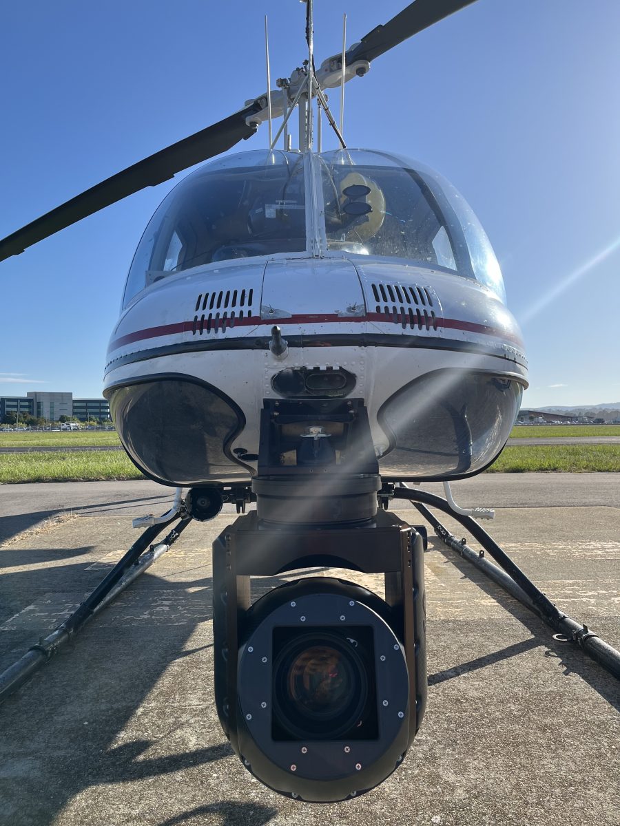
The camera uses ‘Light Detection and Ranging’ (LiDAR) technology. Photo: Evoenergy.
The onboard camera isn’t like your traditional photographic camera, so don’t panic – you don’t need to get your undies in from the washing line before it flies over your house.
“LiDAR basically sends out a light beam that measures the distance from vegetation and trees to our power line, so we can measure that and work out if it’s a safe distance,” Mr Juhasz explains.
The end product is a 3D image, accurate down to the millimetre.
There’s not one in every backyard, but Mr Juhasz says there are a “lot of encroachment issues every year”. These are checked to see whether they lie on private or government land and are prioritised for trimming.

An example of an image generated by LiDAR. Photo: Evoenergy.
“If it’s on government land, Evoenergy will manage and maintain those encroachments on behalf of the government; if it’s on a resident’s property, we’ll send them a letter with details on how to deal with it.”
That means employing an Evoenergy-accredited arborist for safety reasons, but this is a “last resort”.
“Our vegetation team is proactive throughout the year, letting people know their trees need to be kept within the safe distances.”
Evoenergy is currently under contract to use the helicopter, and it’s “worked really well for us” for almost a decade, so they’re not eager to change, but drones are “potentially” on the cards.
“LiDAR is the key to this, and it’s a technology that can be used in many different ways, whether it’s a fixed-wing or a helicopter or a drone. We’re not averse to looking at all of these different technologies,” Mr Juhasz says.
“At the end of the day, it’s about finding the most efficient and effective way of doing this in line with current legislation.”
For now, Evoenergy says the flyover is far less invasive than the alternative – trekking into people’s backyards and climbing poles – even if there is a level of noise for residents to contend with.
“There have been complaints about the noise, but also people concerned about privacy,” says Customer Delivery assistant group manager Bronwen Butterfield.
“But we’re only interested in our power lines and the trees close to the power lines … The images are of our assets, not people’s homes.”
The company keeps the data to monitor growth rates and “analyse the information to see if we can improve formal programs”.
“It’s a little bit of noise, but hopefully, the community will blink and it will be all over,” Ms Butterfield says.
Visit the Evoenergy website for more information on safe distances between trees and powerlines.


