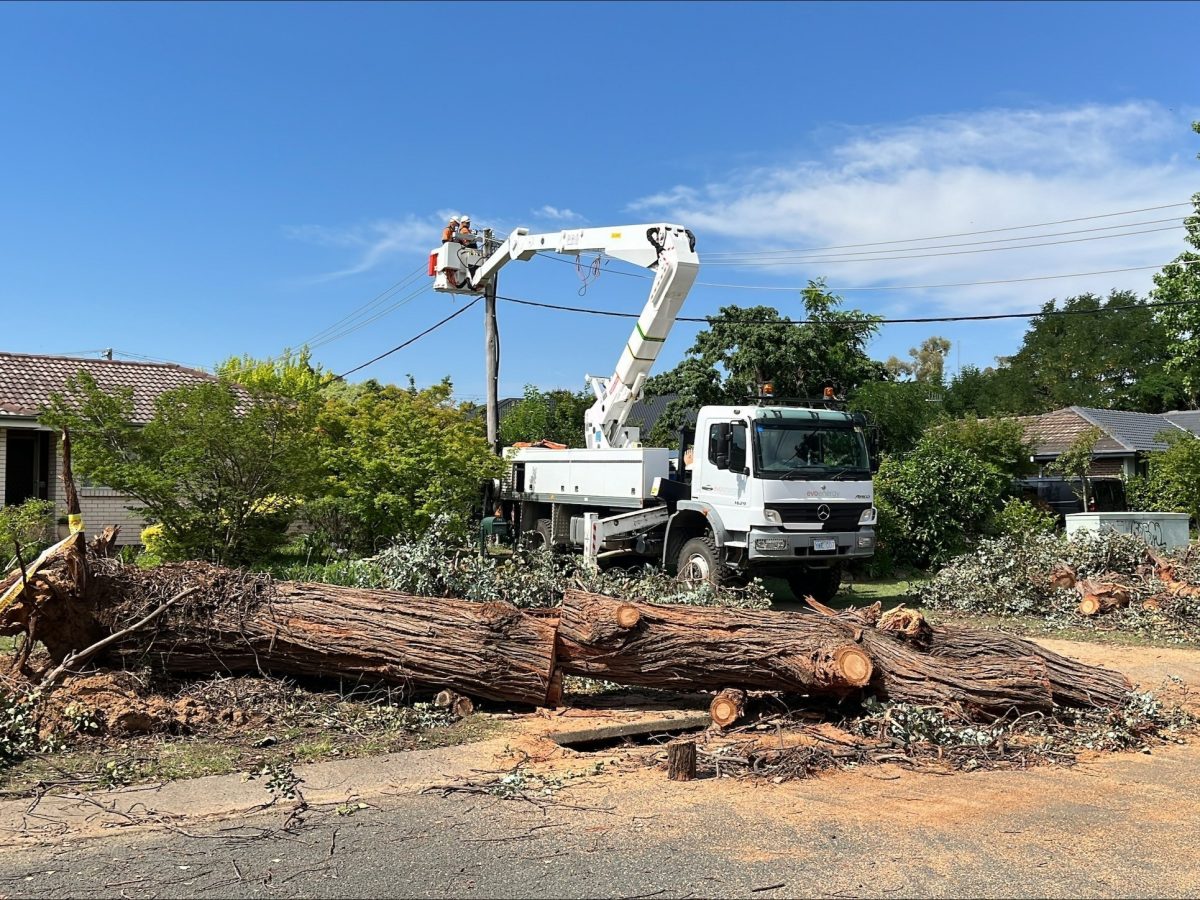
Evoenergy crews working to repair a powerline after a storm brought a tree down on it. Photo: Evoenergy, Facebook.
Canberra’s electricity and gas distributor is exploring new ways to keep its powerlines clear of overgrown vegetation without the expense of aircraft or the paperwork of drones.
Evoenergy has started its annual aerial inspection program for the year, employing a helicopter and light aeroplane to comb the ACT for trees and shrubs growing into powerlines.
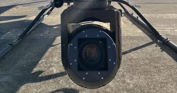
The helicopter, flying at 1000 feet, is fitted with a high-resolution camera that captures the tops of the electricity poles, while the aeroplane, flying at 2500 feet, uses LiDAR (Light Detection and Ranging) technology.
LiDAR creates a 3D map of Canberra’s treescape, accurate down to the millimetre, while the high-resolution camera is programmed to capture the top of each of Canberra’s electricity poles.
“The poles are GPS located, so it only takes photos of the top, not any photos of nearby residences or anything like that,” Evoenergy vegetation and inspection manager Tony Ryan assures Canberrans.
“What we’re looking for are any pole top defects, meaning wires on top of the pole, birds’ nests, or anything that might be cracked or broken, so we can … clear these defects quickly before the start of the next bushfire season.”
The helicopter, complete with the camera on the front. Photo: Corin Jayde.
For last year’s program, one helicopter equipped with both cameras was used, but because of demand from across Australia, Mr Ryan says, “it’s the luck of the draw” the ACT is always able to book it.
At a committee meeting to be held here in Canberra next month, utility companies from across Australia will discuss other new technologies that may be useful for vegetation management.
“I’m part of an industry working group, so we get together annually to look at better ways of doing work,” Mr Ryan says.
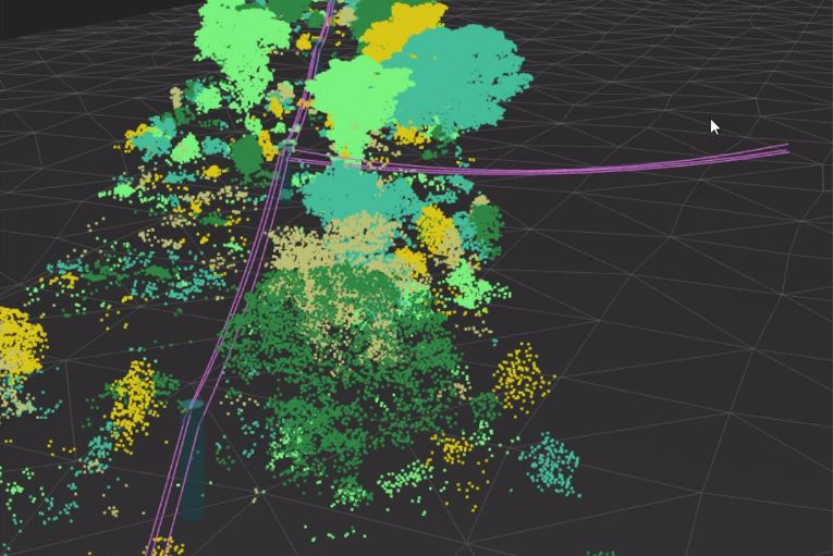
An image generated by LiDAR. Photo: Evoenergy.
Evoenergy previously trialled drones as part of their aerial inspection program in 2017 because of their ability to capture clearer images from lower heights.
In a subsequent report, it noted the results were “promising” and “we look forward to further testing the feasibility of the technology by scanning larger areas of our network in 2019”.
But wider use ground to a halt in February 2019, when one of the drones – worth almost $500,000 including equipment – was shot from the sky near Apollo Road, Tennent.
It’s understood that drone use requires lengthy approval processes with the Civil Aviation Safety Authority (CASA), as well as compliance with privacy laws.
Last year, Evoenergy told Region the helicopter had “worked really well for us” for almost a decade, so were not eager to change, but added drones were “potentially” back on the cards.
“What we’re also looking at for the future – because we’ve been flying for a number of years now – is some sort of predictive modelling,” Mr Ryan says this year.
“Instead of flying, we can use the data we’ve got and work with agencies like CSIRO to give us the growth rates of certain varieties of trees to help us understand the growth rates of each and every individual tree.”
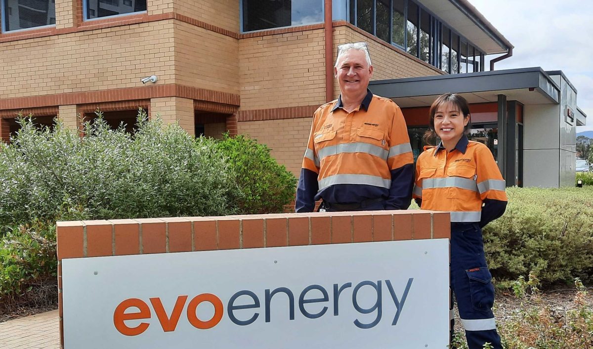
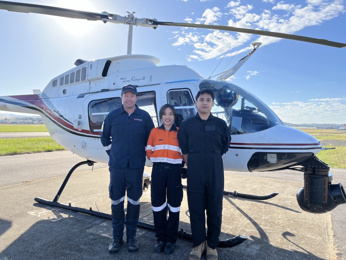
Evoenergy vegetation team members Tony Ryan and Yvonne Constable. Photo: Ian Bushnell.
For now, weather permitting, this year’s aerial inspection program is expected to last two weeks, starting on Friday, 7 February.
“We try to fly at normal times between 8 am and 4 pm, but we may have to do it over weekends if we get held up by wet weather just to make sure we get through because these aircraft are booked in other locations too,” Mr Ryan says.
Trees and vegetation are to be kept one metre from service lines and 1.5 metres from powerlines. For higher-voltage powerlines and bushfire-prone areas, the minimum clearance increases to two metres.
Homeowners and occupiers are responsible for keeping trees clear of powerlines on their property.
According to the Evoenergy website, “If we notice trees on your property are too close, we will leave a notification card to advise you to trim it”. Landholders have 30 days to notify Evoenergy of their intention to trim the offending vegetation, or 45 days before Evoenergy assigns a contractor to do the work on your behalf. Landholders can also apply for an extension on the Evoenergy website.
Visit the Evoenergy for more information.