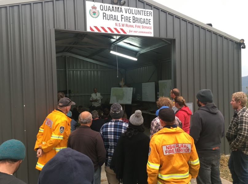
Around 70 people gathered on Sunday at the remote Upper Brogo Fire Shed. Photo: Ian Campbell.
Day thirteen (August 27) of the Yankees Gap Fire will see Remote Area Fire Fighters (RAFT) dropped into the vast burnt and burning landscape behind Bemboka, Numbugga, and Brogo, northwest of Bega.
It’s a physical assault on this 12,000-hectare fire that will be assisted by water bombing helicopters, with a focus on strategic hotspots northwest of Bemboka township.
A community meeting in Upper Brogo on Sunday (August 26) evening also heard of possible backburning plans to “babysit” the fire this week.
The 70 people gathered were told that earlier backburning along the eastern edge of the fire up to Brogo Dam had been successfully completed, with Brogo River and Nelson Creek acting as a firebreak to the west, its unburnt country along these waterways that are earmarked for backburning in the last days of winter.
The community is being warned that if those operations do go ahead this week the Bega Valley and Monaro will be blanketed in smoke. Those plans are reviewed daily in light of weather conditions.
“Don’t be alarmed by the smoke and increase in fire activity if we do decide to go ahead with this backburning operation to contain the fire,” says Daniel Osborne from the Rural Fire Service.
“But be aware of what’s going on, don’t become complacent, check regularly with the current situation.”

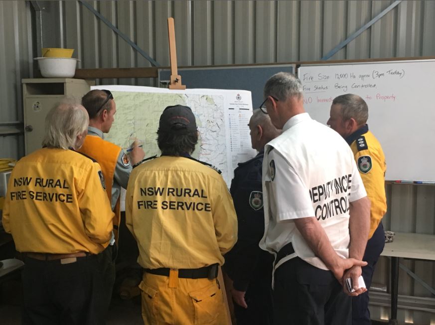
Firefighters from the RFS and NPWS swap notes ahead of a new week on the Yankees Gap Fire. Photo: Ian Campbell.
The fire is still listed as ‘Being Controlled’ and is not yet considered contained, however, there is a calm and ease in how those in charge talk about the week ahead and the weather forecast they’ll be working with.
The flames that claimed three homes on August 15 currently pose no direct threat to any properties.
“But this is not going to go away,” says RFS Superintendent John Cullen.
“We’ll be getting machinery into Upper Brogo, cleaning up tracks, getting them ready, cause you can never say never.”
Earlier plans to take the fire to 22,000 hectares and burn country west of the Brogo River seem to have been shelved for the time being. It’s geography that runs into the Kybeyan area of the Monaro and was burnt in 2013.
“We don’t want to add more fire to the landscape if we don’t have to,” says Damien Debruen from the National Parks and Wildlife Service.

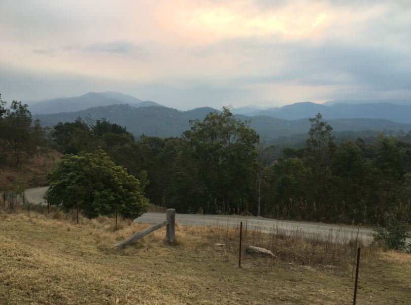
The rolling hills west of the Upper Brogo Fire Shed, hazy in the smoke. Photo: Ian Campbell.
An investigation into the cause of the fire is underway, however, there is broad acceptance that its origin was a hazard reduction burn on private land along Yankees Gap Road at Bemboka.
Knowing that, those on plastic chairs or standing outside the Upper Brogo RFS shed on Sunday night were surprised to hear the RFS talk of people still burning off.
“We are going through a very dry period, please do not burn,” Mr Cullen says.
“Crews are working night and day on this fire and doing a fantastic job, we don’t want to be pulling them off to fight new fires.”
One resident of Hore Lacey Road asked, “Why do all the fire danger signs along the coast still read Low to Moderate? Wouldn’t it be a good idea to change those signs?”
Fire signs are more an indication of weather conditions the meeting was told.
“Regardless of whether its the Bushfire Danger Period from the first of September or whether it’s now, the onus is wholly and solely on the landowner who lights the fire to make sure it remains contained on their property,” Mr Osborne says.
Those gathered were told that while fire permits can be cancelled during the fire season, right now, one week out the RFS could only advise people not to burn.
People are required to notify the RFS and their neighbours ahead of any burn, but as Mr Osbourne says, “It’s the people that aren’t ringing us that are the issue.”
“There are significant penalties that can be applied.”

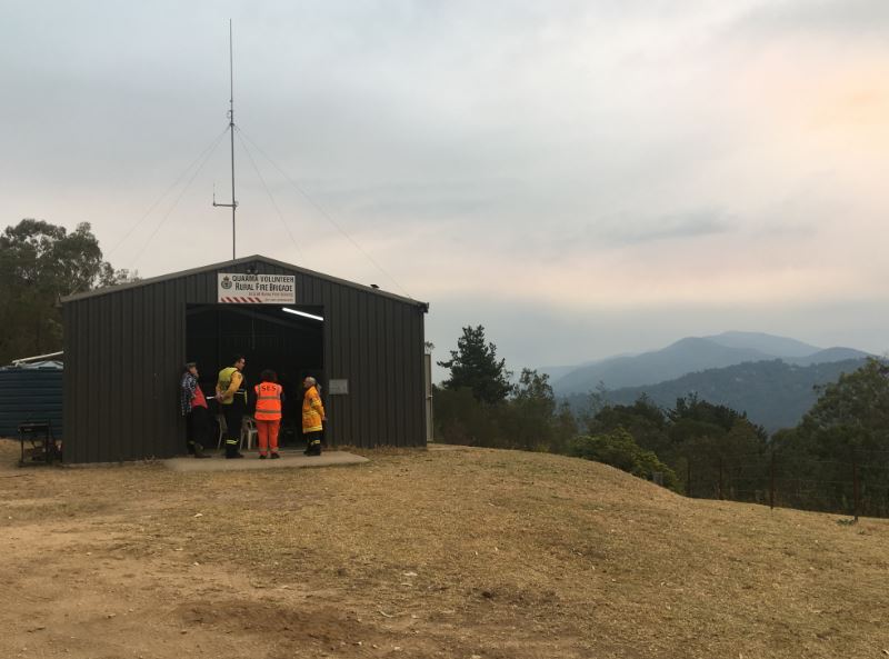
Upper Brogo Fire Shed sits west of the Verona turnoff from the Princess Highway. Photo: Ian Campbell.
Malcolm Turnbull was Prime Minister when this fire started, those at Sunday’s meeting chuckled at the thought that his replacement might also be gone by the time these flames are extinguished.
Good rain is what’s needed. In the meantime, the community has been told to stay alert, keep preparing, and stick together.
For updated news and advice on how to prepare your property, check the NSW RFS website.


