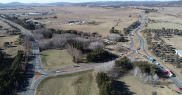
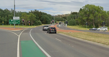
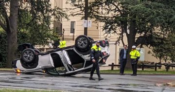
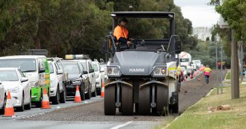
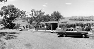
According to the ABC Online, the Barton Highway is the most dangerous piece of highway in the country.
This website here has the “risk map” on which the article bases its claims, and the rest of the site has how they calculate it.
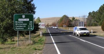
According to the above map, any major highway out of Canberra to Sydney or Melbourne puts you at high or medium-high risk, but it neglects to mention the Monaro highway out past Michelago to Cooma.
In the winter it seems more like a mass-cannonball-run, but they don’t show any stats on it.
Anyone up for a little cross-border\federal negotiation on roads?


