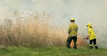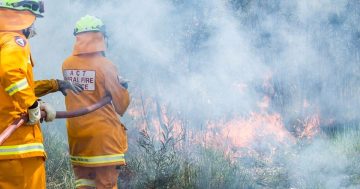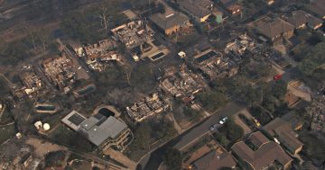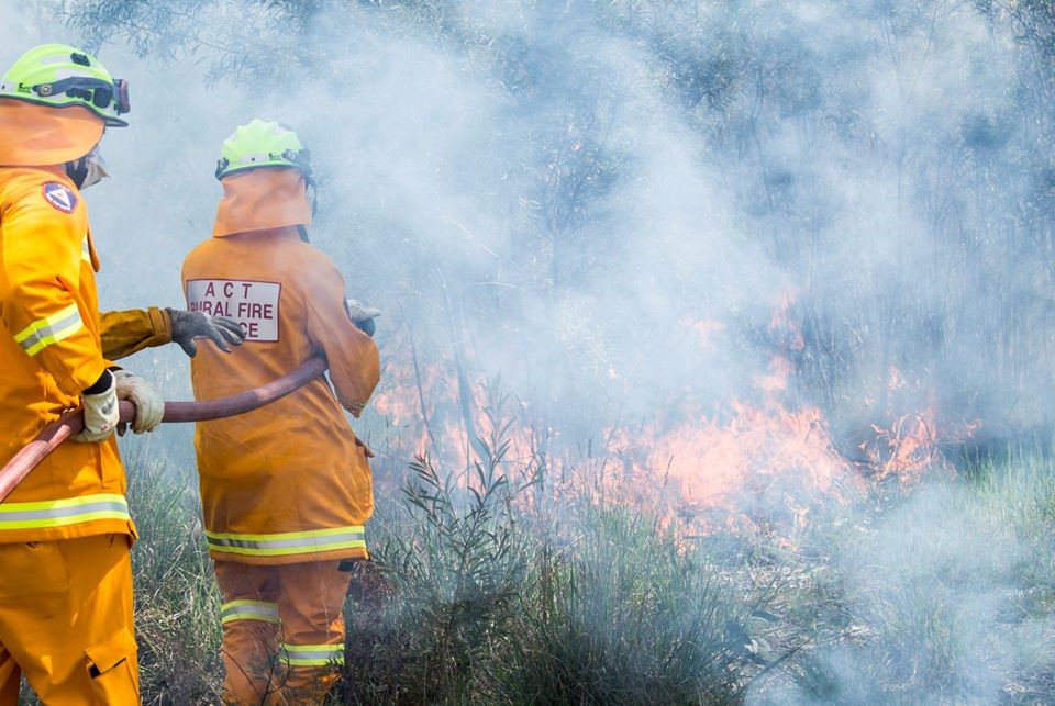
The research project has been exploring how people in the ACT and around Australia perceive bushfire maps. Photo: Supplied.
Researchers exploring how to improve bushfire maps have asked people in the ACT and NSW to step forward to be interviewed.
Participants must live in the southern ACT or Snowy Monaro region and have been impacted by bushfires in the last four years.
Royal Melbourne Institute of Technology (RMIT) University and Natural Hazards Research Australia are behind the project.
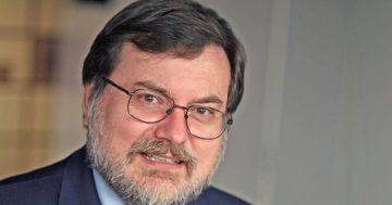
RMIT University lead researcher Dr Erica Kuligowski said bushfire map experience was not a requirement for participation.
“If we want to design and communicate these maps to the best of our ability, we need to speak with all people,” she said.
The research team has already visited Tasmania and Victoria and conducted 65 interviews since the project started in 2022.
Participants are asked to recall information received and actions taken during a previous bushfire.
Researchers are also keen to hear their perspectives on maps that show bushfire warning areas and their potential spread.
Dr Kuligowski said previous research had spoken to people who created fire predictions and prediction maps.
But she said there was a lack of research into how everyday people received and perceived these maps.
“The 2019-20 fires was the first time that maps showing fire spread predictions were released to the public … in NSW, the ACT and Victoria,” she said.
“A lot of the inquiries that came out [have shown] an interest in releasing these types of maps in the future and in other places across Australia.
“So, fire and emergency response agencies across the country are now really interested in hearing from the public.”
Dr Kuligowski said she expected a report with findings from the interviews to be published in late 2023.
She said reports based on interviews with fire behaviour analysts and on a nationwide survey were also upcoming.
The three-year project’s next phases will develop and test predictive map concepts and communication strategies.
However Dr Kuligowski said the maps were not intended to replace traditional methods for warning people about bushfires.
“It’s another tool in the tool box … these are maps showing where the fire could spread within the next hour or day,” she said.
“So that is additional information to help people make the best decisions for themselves when they’re trying to plan.
“And especially when they’re leaving early in very extreme bushfire events.”
Dr Kuligowski said the research team had considered that discussing these events could be traumatic for some people.
“Our team is trained in understanding disaster and trauma and interviews with people who have experienced fires,” she said.
“We know when it’s important to stop or pause and make sure that our interviewee is okay and would like to continue.
“We also have materials and resources that we provide … if they are experiencing trauma after our interview.”
Tharwa in the ACT and Michelago, Bredbo, Adaminaby and Jindabyne in NSW have in-person interviews from 16 to 25 March.
Surrounding areas of NSW and Banks, Conder and Gordon in the ACT have online on-demand interviews from 13 March.
Register here or contact the research team directly to express interest on 03 9925 3267 or gita.pupedis2@rmit.edu.au.