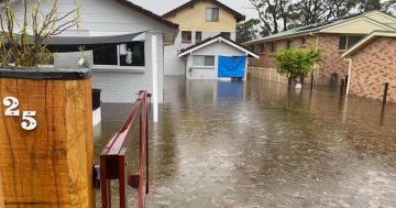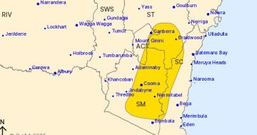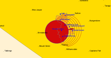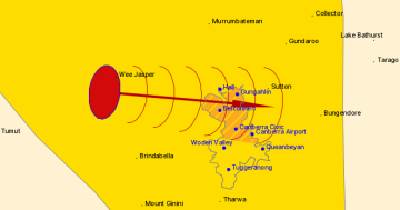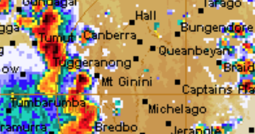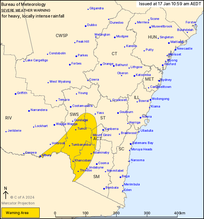
Heavy rainfall is expected to fall across parts of the ACT and southwest NSW this afternoon. Photo: BoM.
Canberrans have been warned to batten down the hatches once again with heavy rainfall forecast for this afternoon (17 January).
Falls that could lead to flash flooding have been forecast for parts of the ACT, Southern Tablelands, Snowy Mountains, Southwest Slopes and Riverina.
Six-hourly rainfall totals of 50 to 80 millimetres are likely.
The Bureau of Meteorology advised intense rainfall within the warning area was no longer considered likely, however a separate severe thunderstorm warning would be issued if necessary.
It’s as a very humid airmass being drawn down from the tropics is mixing with a cold front moving its way across southern NSW today.
Conditions are forecast to ease from the west during the night.
During heavy rainfall events the State Emergency Service advises:
- Don’t drive, ride or walk through floodwater
- Keep clear of creeks and storm drains
If you are trapped by flash flooding, seek refuge in the highest available place and ring 000 if you need rescue - Be aware that run-off from rainfall in fire-affected areas may behave differently and be more rapid. It may also contain debris such as ash, soil, trees and rocks
- After bushfires, heavy rain and the loss of foliage can make the ground soft and heavy, leading to a greater chance of landslides
- Stay vigilant and monitor conditions. Note that the landscape may have changed following bushfires.
For emergency help in floods and storms, ring your local SES Unit on 132 500.


