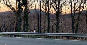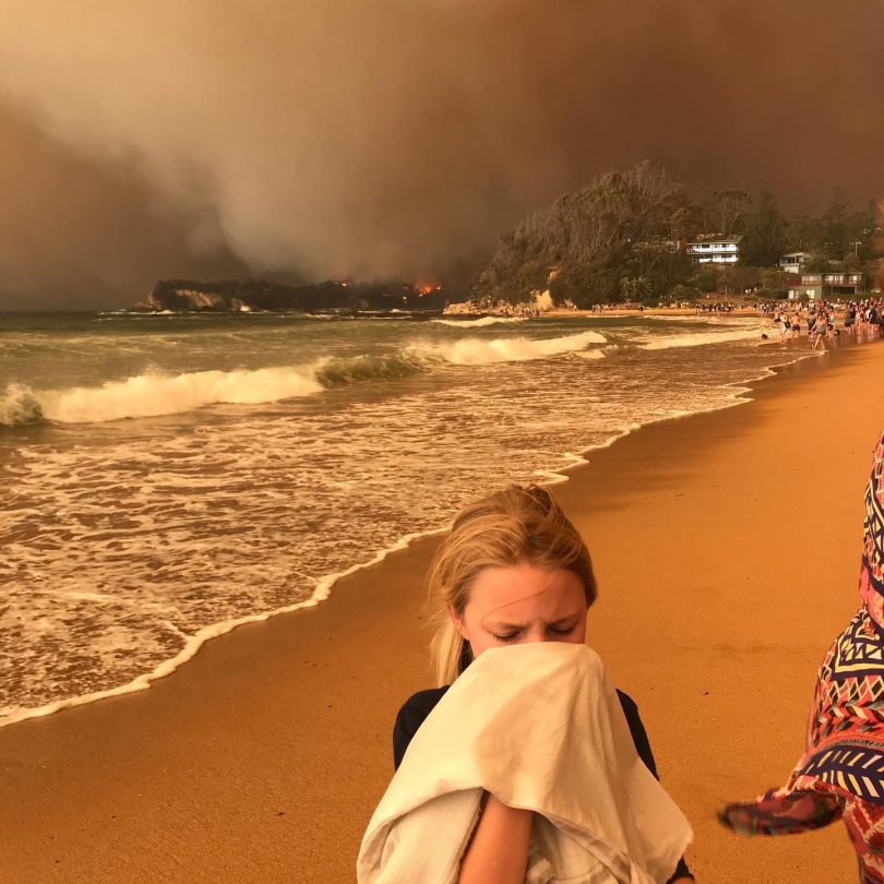
Bushfires burned all the way to the NSW coastline during the Black Summer of 2019-2020. Photo: Supplied.
Canberrans travelling to the NSW South Coast during the Black Summer bushfires of 2019-2020 did so because they wanted to continue with their annual holiday plans and escape bushfire smoke in the capital, new research has revealed.
Most of those who travelled to holiday houses on the South Coast did so while being aware of bushfire activity in the area, but did not think they would be affected, according to analysis of community responses by the Bushfire & Natural Hazard Cooperative Research Centre (BNHCRC).
A common misconception from Canberrans travelling to second houses near beaches was that the bushfires would not burn all the way to the coastline. Although, a smaller number decided to travel to the coast and into fire-prone and high-risk areas specifically to assist their family or friends.
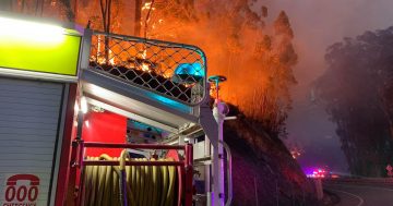
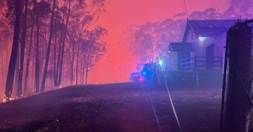
Entire communities ended up stranded for days or weeks without power, telecommunications or other resources along the South Coast during the 2019-2020 bushfire season which burnt 5.5 million hectares of NSW and destroyed 2448 homes across the state.
Thousands of residents were forced to take refuge at beaches along Batemans Bay, Moruya and Broulee on New Year’s Eve 2019 as the bushfires burned to the coastline.
But despite the communications knockout, the community increasingly expects more detailed warnings and localised information in “near real-time” during emergency situations, the BNHCRC found.
The NSW Fires Near Me app was the primary source of information, but it was not updated frequently enough and did not adequately identity where the fire was spreading, some residents said.
People trapped near or in the vicinity of the bushfires wanted to know more about where the active fire edge was and where it was spreading, while tourists said they wanted more information about roads and transport.
The app showed the entire area of the bushfire, including areas that were burnt and had no active fire.
The Royal Commission into National Natural Disaster Arrangements – also known as the Bushfire Royal Commission – handed down its report on 20 October, 2020, and made 80 recommendations, including nationally consistent emergency information such as air quality data and bushfire warning systems.