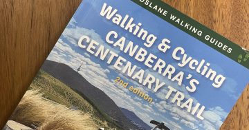
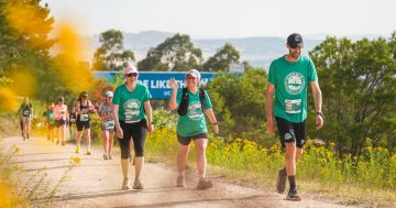
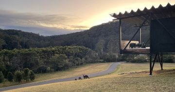
Have you ever thought about walking the Centenary Trail? The 145km loop was established in 2013 to celebrate Canberra’s Centenary, and passes over our picturesque mountain scapes, rivers, fields and forests. Not only will you see stunning natural scenery, you’ll also explore many of Canberra’s suburbs and the Parliamentary Triangle, discovering hidden gems and visiting iconic cultural institutions along the way.
The Centenary Trail was designed to be walked in 7 separate legs, or biked in 3. However, I’ve designed a plan that tackles walking the trail continuously over 8 days, with recommendations for interested places to eat and sleep along the way.
The trail is set out with markers that will guide you on your way at the turning points, and maps and more information are available on the TAMS website.
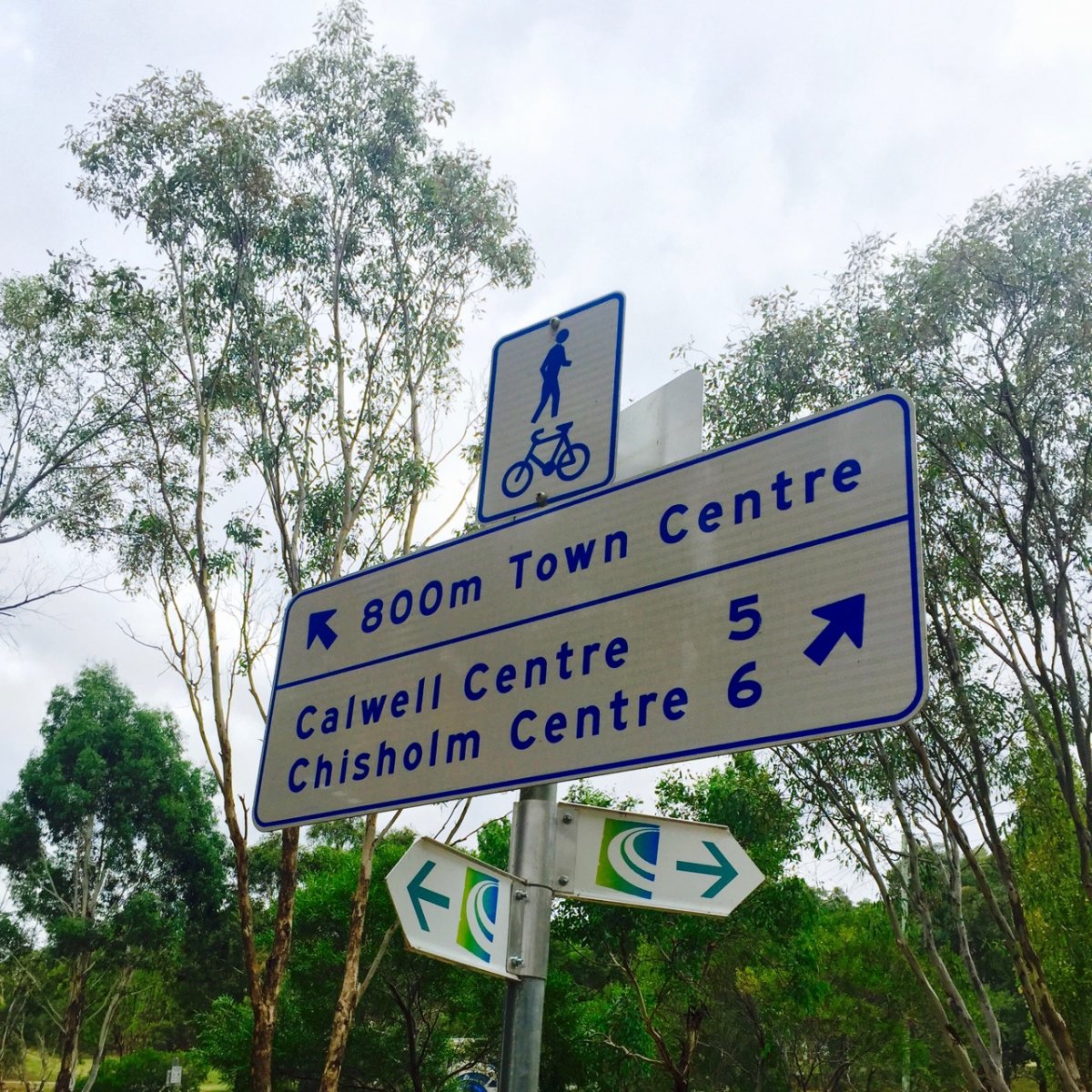
Today we’ll look at the third leg of this plan, from Tuggeranong Town Centre to Narrabundah.
If you want to grab coffee or breakfast before you set out, I’d thoroughly recommend Lazy May’s amazing choc banana brioche slider buns. You can also stock up on snacks at the Hyperdome if necessary.

Once you’re ready to begin, follow the trail markers on Anketell St down to the lake, across the bridge and continue along the bike path under Drakeford Drive, towards the Chisholm shops.
Next you will pass Isabella Pond and meet a stormwater drain which you will follow for the next few kilometres. Continue following the trail makers until you reach the Fadden Pine Plantation, where can make a slight detour if you want to check out some of the cool playground equipment there.
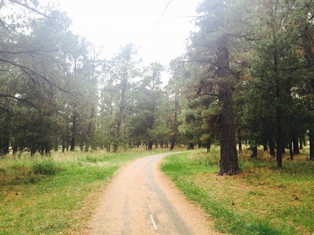
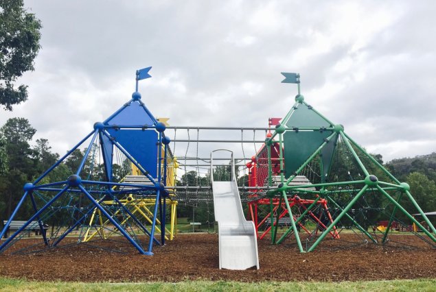
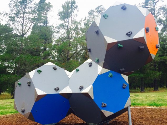
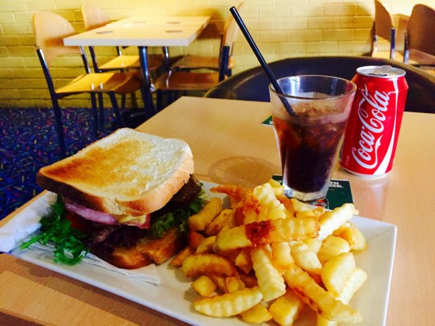
Shortly after the playground you can cross Isabella Drive to the right of the trail and grab some lunch at the Chisholm shops. I had the steak sandwich at the Chisholm Family Tavern, where the staff were super lovely and even fired up the deep fryer early to make my side of fries.
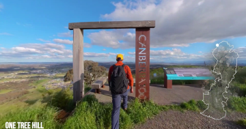
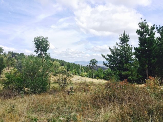
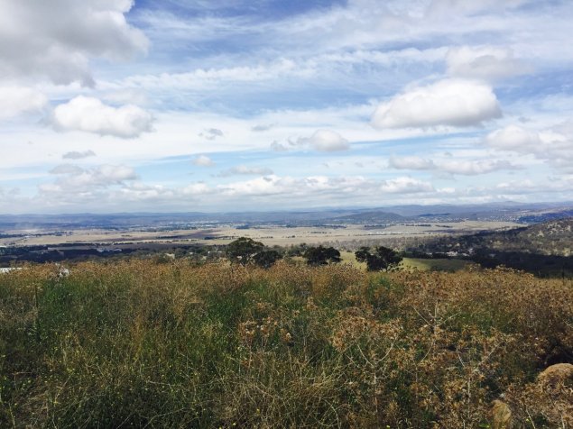
After you’ve re-stocked your tummy and joined back up with the trail, follow the markers between the houses until you reach the entrance to Waniassa Hills. Continue along through the bushland and alongside some power lines and through the underpass under Long Gully Road. You will walk parallel to the road for a while before you can turn right back into Canberra Nature Park, and continue along between the houses and pine trees until you get to the Issaacs Ridge Loop walk. You will follow this path up along the ridge and to the summit of Mt Sheaffe, where you can take in awesome sweeping views of Canberra and the Brindabellas. When you’re ready, keep going downhill and re-join the track running behind the line of houses. Follow the markers through the pine trees and into a grassy field and native bushland. You will turn right at the Mugga Quarry Access Road and continue through the bushland until you reach Mugga Lane and the official end point for this leg.
If you’re looking to stay the night, the Ibis Styles hotel in Narrabundah is just a little further and super comfortable with big beds, nice air con and showers and a pool.
For dinner, I can recommend XO, however I would warn that it’s not as casual as I was expecting it to be and hiking gear will look slightly out of place! Even though I looked pretty rubbish compared to the rest of the clientele, the staff were super friendly and brought me some delicious and mildly spicy Xiu Mai slow cooked Vietnamese meatballs.

Happy hiking! Have you walked or biked any of the Centenary Trail? Which part was your favourite?


