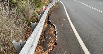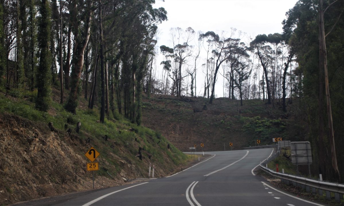
Government Bend on the Kings Highway at Clyde Mountain. Photo: Alex Rea.
So far this summer, it’s not looking good for the Bureau of Meteorology’s prediction of hot and dry conditions. It’s been a decidedly wet few weeks.
But this hasn’t put off the hordes of Canberrans who head to the South Coast at this time of year, drawn by the promise of crystal clear waters, lazy afternoons, and fish and chips.
There are two roads from Canberra to the coast and Canberrans have heard the horror stories. Landslides. Black ice. Cars careening into trees or rolling down slopes and into other trees, prompted by driver error or brakes overwhelmed by the sheer length and steepness of the descent.
To find out how much of this is true, we checked the NSW Government’s official crash data for both the Clyde and Brown mountains. Here’s what we found.
Clyde Mountain has an elevation of 781 metres. Between 2018 and 2022, there were 14 crashes along the road between where the descent starts and when it levels out again. Of these, eight resulted in minor injuries, six moderate injuries, and two serious injuries.
One of these serious injuries ultimately resulted in death. On 31 January 2022, a Toyota Prius ended up 12 metres down one of the embankments. The 68-year-old female driver was airlifted to Canberra Hospital with serious injuries but died the next day.
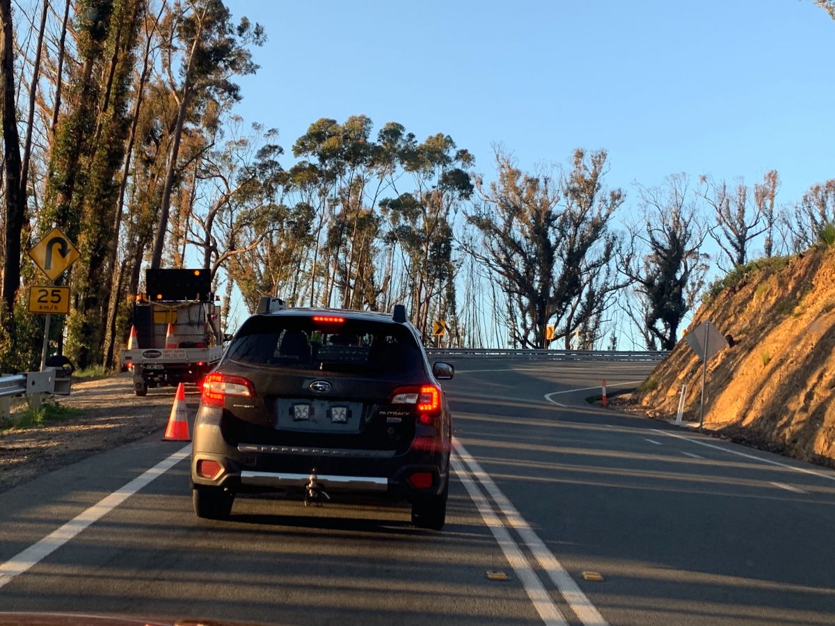
There’s something you don’t see every day – traffic stopped on the Clyde Mountain. Shocker! Photo: Region.
Later that year, in September, a teenager was labelled a “moron” by Batemans Bay residents after he posted a selfie to social media showing the Mustang he accidentally flipped on its roof near Pooh Bear’s corner. No one was injured.
It’s further to fall on the Brown Mountain, with an elevation of 1,243 metres. Over the same five-year time period (2018 to 2022), however, no crashes were recorded.
The most recent reported incident occurred in early April last year when a truck came off the road and rolled halfway down the mountain, but there were no injuries.
It’s worth keeping traffic numbers in mind because the Clyde is more than twice as busy. The latest available Average Daily Traffic (ADT) count recorded 3882 vehicles in 2021, compared to Brown Mountain’s 1519 vehicles.
But the raw numbers still peg the Clyde as the most prickly.
And yet, it’s the one most of us prefer.
Kim Bessell, for instance, a senior driver trainer with Fifth Gear Motoring here in Canberra, makes the pilgrimage to the South Coast at least once a year.
“I certainly think the Clyde is easier because there have been a number of improvements to the road in recent years, which has made it significantly safer and easier, particularly if there’s heavy or slow-moving traffic.”
But on either mountain, he says most of the incidents can be traced back to a lack of preparation by the driver.
“They’re both long and steep descents so any issue is going to concern your brakes,” he says.
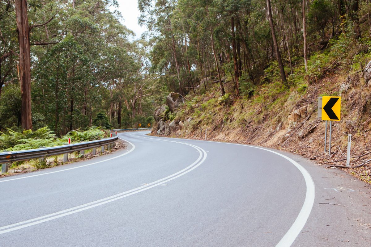
The Snowy Mountains Highway winding down Brown Mountain near Bega. Photo: iStock.
“What you don’t want to do is rely on your brakes the whole way down the hill because the pads can go spongey or you can boil the brake fluid, which means either your brakes don’t work as well or don’t work at all.”
He says all cars, whether fitted with manual or automatic transmissions, have the ability to slow forward movement with gears.
“What a number of people don’t realize is that in an automatic car, you still have a manual mode and can use a lower gear to help slow the car, and then you just use the brakes for the corners.”
He says the key is “preparation, not correction”.
“The thing that should stop you coming into a corner too fast is the yellow advisory signs – they’re not law; they’re there to give us a helping hand, so if there’s a picture of a hairpin bend and it says 25 km/h, it’s clearly going to be a very slow corner. Use the signs.”
Kim didn’t comment on it, but a meat pie from either the Braidwood Bakery or Nimmitabel Bakery may also elevate driving skill.
