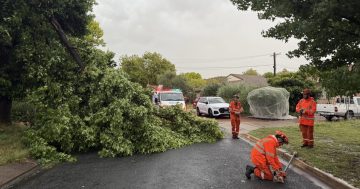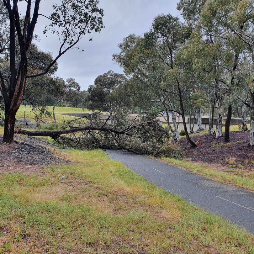
This tree, on a bike path in Wanniassa, was felled by last week’s heavy winds and rain. Photo: David Murtagh.
UPDATED 12:20 pm: Motorists are being warned not to cross submerged roads as the region prepares for the possibility of flooding.
With intense rainfall predicted, a flood watch for minor flooding has been issued for the Queanbeyan and Molonglo Rivers, Upper Murrumbidgee River to Burrinjuck Dam and Cooma Creek.
Queanbeyan SES Deputy Unit Commander of Operations Brent Hunter said minor floods were quite common for Queanbeyan, but not all motorists drove to the conditions.
“Flood warnings will be issued if minor flood levels are expected to be exceeded at sites along the main rivers,” Mr Hunter said.
“Minor floods are not terrible. We see them quite often in Queanbeyan. We’ll most likely see Morriset Street river low-level crossing close, and the Oaks Estate will probably stay closed.”
The Briars Sharrow crossing was another area of concern, especially as drivers have been seen taking on the floodwaters during heavy rains recently.
“Briars Sharrow does move quite quickly,” said Mr Hunter. “The water does get quite turbulent. It churns and there is a risk for people to be washed off if they were to drive through it.
“We are just asking people that if the signs for a closed road are there, don’t ignore them. They’re there for a reason; they’re there to keep you safe and us safe as well.”
“Flood watch means that people living and working along the river and streams should monitor the latest safety weather forecast and warnings and be ready to move to higher ground should flooding develop.”
Call the SES on 132 500 if you have experienced damage from storms, wind, hail or a fallen tree, or if a tree branch is threatening your property or a person’s safety.
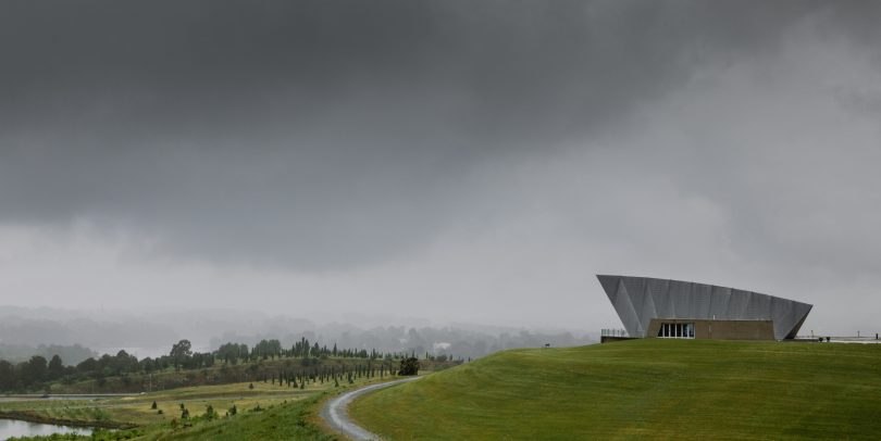
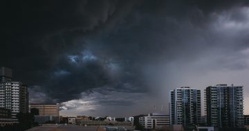
Storm clouds and rain over Canberra and Margaret Whitlam Pavillion, National Arboretum. Photo: Michelle Kroll.
10:15 am: If you thought we’d seen the last of the rain for a while after last weekend’s downpours, you’re going to be disappointed.
The Bureau of Meteorology and the NSW State Emergency Services have even warned about the risks of flooding from the big wet that’s about to hit the ACT and NSW in the next few days.
Bureau of Meteorology Hazard Preparedness and Response East Manager Jane Golding said the region was seeing a “tropical” air mass from Queensland tracking towards NSW, while at the same time a deep low-pressure system over Western Australia was also heading for NSW.
The combination of these two systems is likely to lead to potentially intense rainfall rates in Queensland, NSW and the ACT.
“We are looking at a wet and stormy second half of the week. Record-breaking rainfall is likely for some locations and for much of NSW, extending up through Queensland, the ACT as well,” said Ms Golding.
NSW SES Assistant Commissioner Colin Malone told residents to monitor the flood risk in their area, and if in an at-risk position, have an emergency kit ready should evacuation become necessary.
“The storm season’s only just begun and … it’s going to be a wet week at the end of this week and we do urge everybody to do what they can do to be prepared,” said Mr Malone.
While traditional flooding is viewed as more likely, Mr Malone also cautioned about the risk of flash flooding and storm damage.
The Bureau of Meteorology’s Canberra forecast for today predicts a minimum of 8 and a maximum of 21, with a shower or two and an expected rainfall of between 8 and 15 mm.
Thursday will be similar with a minimum of 10 and a maximum of 21, with rain most likely in the evening and an expected rainfall range between 8 and 15 mm.
Friday is the one to watch with expected heavy rainfall of between 25 and 50 mm and the chance of a thunderstorm in the morning and afternoon. Periods of intense rainfall are expected from North Queensland to Melbourne.
On Saturday the showers are expected to steady at between 6 and 10 mm, but it will likely include the lowest maximum temperature so far in November at 12 degrees.
Sunday will also have a maximum of 12 degrees, a shower or two and expected rainfall of between 1 to 4 mm.
As for the surrounding region, the rainfall forecast is similar despite varying temperatures.
The Snowy Mountains can expect snow Saturday through to Monday.