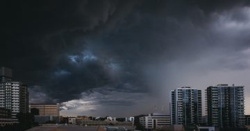
A Tasman Low has been sending freezing winds across most of NSW and the ACT. Photo: File.
Extra layers will be a must for the rest of this week as sub-zero temperatures continue to send shivers across Canberra and large parts of southeast NSW.
A high pressure system is keeping things clear and stable over inland areas, but there’s also a low pressure system stationed over the Tasman Sea which is bringing cold winds to the regions.
Bureau of Meteorology senior meteorologist Angus Hines said daytime temperatures will be a few degrees below average but the overnight minimums are where the mercury will really drop.
“[The system] starts over those very cold waters of the Southern Ocean, getting dragged up and over eastern Australia, bringing us the very cool weather,” he said.
There will be widespread areas of frost, with Canberra and Cooma only expecting to reach a high of 10 degrees on Wednesday (19 June), while Goulburn and Yass are only expected to reach a top of 9 degrees.
The coastal regions won’t be as teeth-chattering, with daytime temperatures lingering in the mid-teens, but those areas won’t escape the freezing breezes either.
The Tasman Low has seen hazardous and powerful surf over the weekend – Eden’s peaked at 5.8 metres and Port Kembla recorded waves of 5.6 metres – but that’s starting to ease as the system moves on.
Large waves are expected to continue to impact the NSW coast until Wednesday.
Original Article published by Claire Fenwicke on About Regional.


