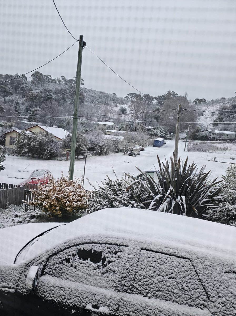
Snow falling at Royalla. Photo: Andrew Williams, Facebook.
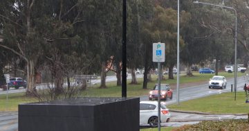
Residents of Royalla opened their curtains over the weekend to see the alpine region had come to them, according to reports on social media, and they weren’t alone.
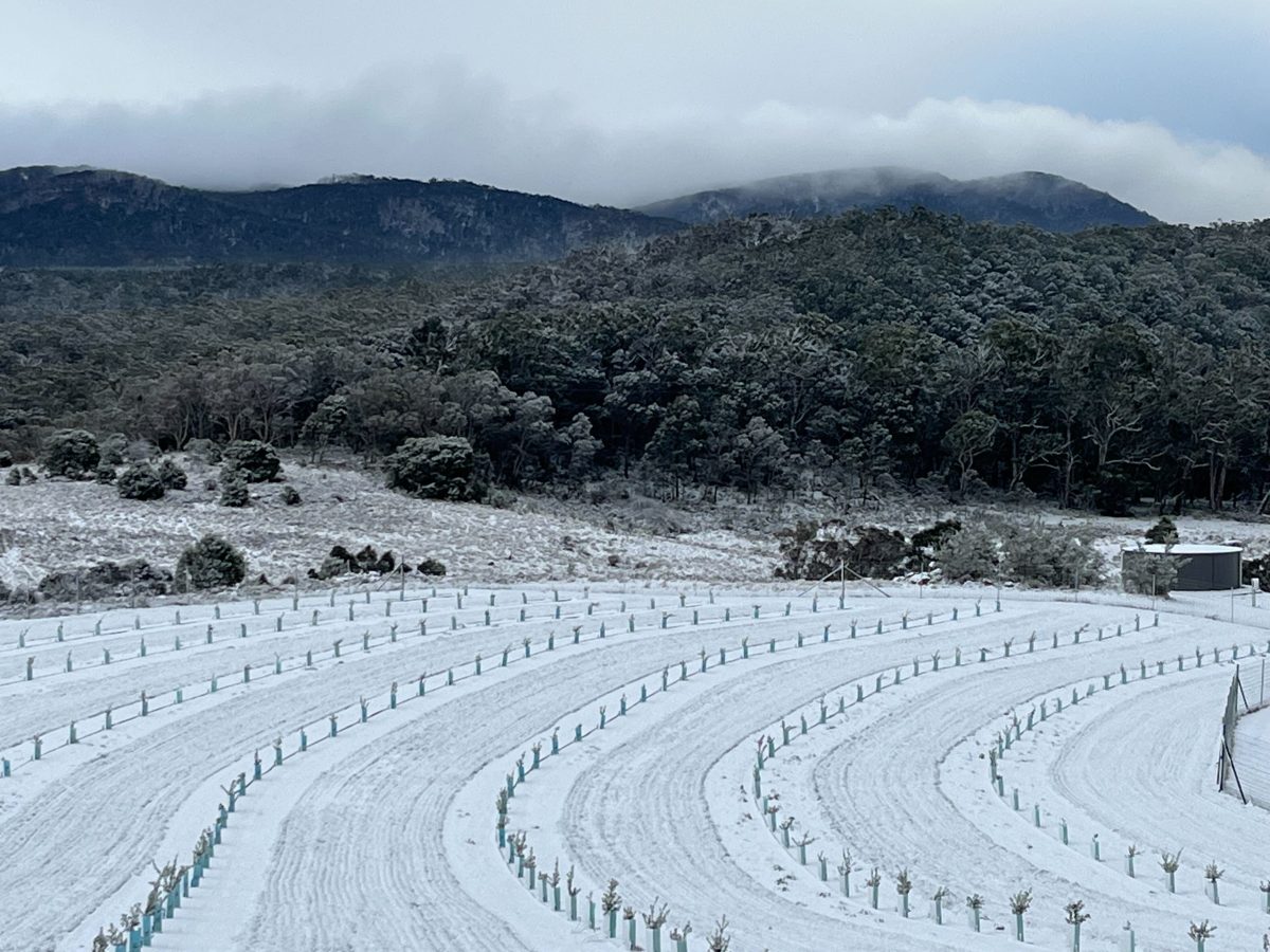
The Bureau of Meteorology (BOM) didn’t receive any official measurements but confirmed the weekend’s many photos and videos were true and that a cold front whipped up a dusting of snow over the southern part of the ACT and beyond into NSW.
“Various locations received different amounts of snow depth, some locations only flurries while other locations had a few centimetres, but not really any deep snow,” Senior Meteorologist Jiwon Park told Region.
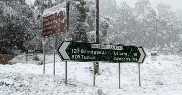
As well as Royalla, Carwoola, Bredbo, Michelago and Mount Tennent all recorded light snowfall, and Bungendore “a dusting”.
“There have also been other reports of isolated snow showers in some parts of the ACT,” Mr Park said.
The snap was caused by a “very vigorous” cold front moving through the south-east of Australia over the weekend, but one that could have brought even more snow had it contained more moisture.
Snow at Captains Flat. Photo: Janette Ridley, Facebook.
“The front was notable because of the significant cold air behind it, but we didn’t see much snow out of it because it wasn’t linked to a moisture source,” Mr Park said.
“That’s why we saw -5 to -6 temperatures in Canberra but only a general dusting of snow.”
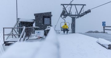
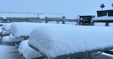
Meanwhile, the snow resorts received an equally good coating.
Thredbo received 17 cm of fresh fall over Saturday, Perisher 10 cm and Selwyn 5 cm, followed by another 8 cm at Thredbo on Sunday, 2cm at Perisher, and a “light dusting” at Selwyn, according to Pete Taylor from forecasting site Snowatch.
“We’ve had a lot of light, low-level snow,” he says.
“It was -7 to -8 last night in the mountains, and wind chill was around -20, so it’s going to be well below zero all week.
“The snow’s going to be in great condition, and then we’ve got more light snow coming from Sunday through to Wednesday.”
A dusting of snow at Harolds Cross. Photo: Kirsty Tomas.
The front has moved out over the Tasman Sea, but the BOM expects the dry and cold conditions to continue over the rest of the week.
Minimum temperatures will plummet to -4 degrees Celsius tomorrow (30 July) in Canberra. We can expect -3 on Wednesday before it slowly rises to 2 on Sunday.
Daytime temperatures will hover between 12 and 14, accompanied by light winds.