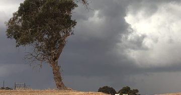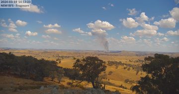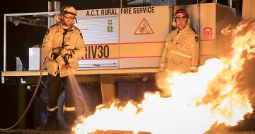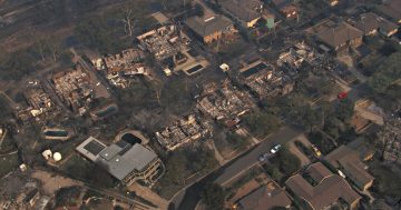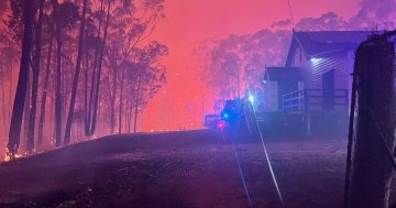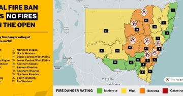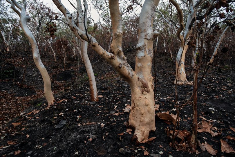
The Disaster Dashboards platform aims to help communities prepare for, and survive, emergencies such as bushfires. Photo: David Clode.
A new Disaster Dashboards platform that provides communities with real-time information about local emergencies will be piloted by 27 NSW councils this summer.
The dashboards were created by Resilience NSW as part of the Regional Disaster Preparedness Program to help communities prepare for, and survive, natural disasters.
Information about new COVID-19 cases, fires, floods, road closures, power and water outages will all be available and updated every five minutes on the dashboard.
If you missed Region Media‘s story on this summer’s fire advice, you can view it here.
The dashboards will also provide communities with information on how to prepare for an emergency and the assistance available to help recover after an emergency.
The information will be provided by the councils, NSW Health, NSW State Emergency Service (SES), NSW Rural Fire Service (RFS), Transport for NSW, Bureau of Meteorology and Australian Bureau of Statistics.
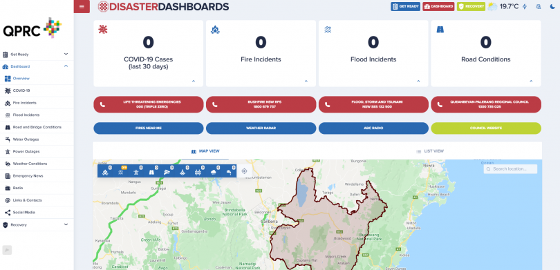
Emergencies are listed and pinpointed on a map on the Disaster Dashboards. Image: Queanbeyan-Palerang Regional Council.
Each emergency or issue is listed and pinpointed on a map, while important phone numbers and links to the Fires Near Me app and local weather radar are also available on the dashboards.
Queanbeyan-Palerang Regional Council and Goulburn Mulwaree Council will be among the first councils to use the Disaster Dashboards this summer.
Braidwood, Nerriga and Araluen experienced catastrophic bushfire conditions last summer, and Queanbeyan-Palerang Regional Council Mayor Tim Overall said localised emergency updates, advice on how to prepare for emergencies, and information about seasonal risks is more important than ever.
“Aussie summers are iconic,” said Mayor Overall. “They can also be tragic. Emergency service organisations and volunteers do an incredible job keeping us safe, but they can only do so much. Being aware and prepared is everyone’s responsibility, whether you’re at home, at work or away on holidays.”
The Disaster Dashboards follows the recent overhaul of the Australian Warning System to make the warnings for bushfires, floods, storms, extreme heat and severe weather consistent across states and territories.
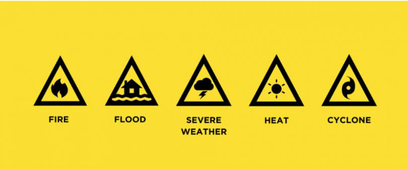
The new icons introduced nationwide under the Australian Warning System. Image: Supplied.
Up until now, there have been different warning systems for different hazard types across Australia.
There are three warning levels:
Advice: An incident has started. There is no immediate danger. Stay up-to-date in case the situation changes.
Watch and Act: There is a heightened level of threat. Conditions are changing and you need to start taking action now to protect you and your family.
Emergency Warning: An Emergency Warning is the highest level of warning. You may be in danger and need to take action immediately. Any delay now puts your life at risk.
The updated Australian Warning System aims to ensure that people – no matter where they are – know what to do when they see a warning, and was developed based on community research, including more than 14,000 surveys.
The NSW Rural Fire Service has already adopted the new warning system on its Fires Near Me app and website. The new symbols are shown below.
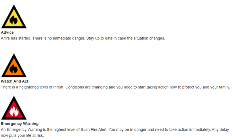
The new warning symbols adopted by the NSW Rural Fire Service. Image: Supplied.
Original Article published by Hannah Sparks on About Regional.
