I’m wracking my brain to think of a time in my life where a paper map of cycling infrastructure would ever have been of any interest to me. And I write that as someone who has lived large chunks of his adult life without a car, entirely reliant on the bicycle for transport.
But this is Canberra and I suppose a lot of people like to make things official.
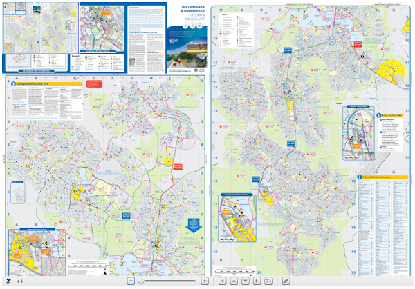
So Simon Corbell has announced the start of public consultation on a Draft Canberra and Queanbeyan Cycling and Walking Map.
“Canberra’s network of cycling and walking paths is second to none, and they are enjoyed on a daily basis by thousands of Canberrans,” Mr Corbell said.
“The Government has created a new document that maps all of these pathways but need to get the feedback of the community to ensure it’s accuracy.
“Those best placed to let the government know if there are mistakes are those who use the cycle and walking paths on a daily basis, and we are asking these Canberrans to come forward and share their expert knowledge.”
The new Canberra and Queanbeyan Cycling and Walking Map replaces the previous map published in 2005 and provides on-road cycling routes, shared paths, unsealed paths and roads and free bicycle parking facilities.
Perhaps more importantly the data’s going into google transit.


