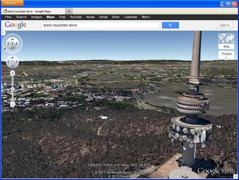
The ABC is reporting that Canberra and Queanbeyan have become the first Australian cities to have been mapped out in 3D for Google Earth. Pretty neat – it’s worth having a shufty at a few of the more interesting sites around town. It seems to be a combination of metre-ish resolution radar height data and building plans for major structures.
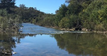
(The Old Cotter Dam lives on… for now, at least!)