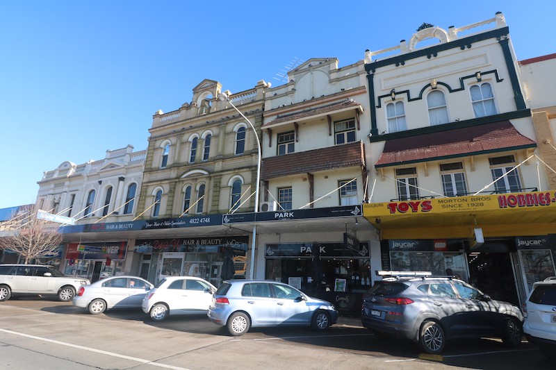
A new planning policy will encourage shop-top housing for Goulburn, and a shift to West Goulburn for new subdivisions in the future. Photo: Jackson Reardon, Goulburn Mulwaree Council.
A swathe of land in West Goulburn will become a future residential frontier for the historic city after a major re-think by the city’s planners.
For years, new residential subdivisions in Goulburn have been north beyond Wollondilly River. However, in decades to come, development will head west to an area that has been a no-go zone for the city’s town planners because of outdated State government information.
The planning re-think also promises much better growth outcomes for the city’s expanding footprint and an enhanced capacity for rural residential development.
The new focus is on an arc from the Run-O-Waters rural subdivision through to Gurrundah Road and, to some extent, Range Road and the Wollondilly River, previously deemed unsuitable because of vegetation and other constraints.
The shift happened as a result of consultation during Goulburn Mulwaree Council’s Urban and Fringe Housing Study. While growth will continue to the north in the Marys Mount area, the strategy will also allow more opportunities to expand to the west than first expected.
When the strategy’s first draft was displayed, it attracted 50 submissions from members of the public, including landholders. One stood out that promoted opportunities in West Goulburn. During the ensuing six months, the strategy was redrafted and in the year after that, it was refined into a second version.
Town planners are thinking more broadly about the potential for development in Goulburn Mulwaree’s local government area, said Scott Martin, council’s planning and environment director.
“We have been able to paint a more encompassing picture that gives us a clearer way forward,” he said. “We would like to think it has better longevity so that if we know what the full picture is, we might be focusing on how we get to the year 2036 initially.”
Planners are identifying areas that are conducive to large-lot – such as rural-residential – development that won’t affect Council’s ability to deliver Goulburn’s projected population increases. The aim is to avoid promoting a development such as Run-O-Waters, the subdivision further southwest which has farmlet-sized blocks.
“We want to protect those areas now so when the time comes for residential development, it can go in with minimal fuss and headache,” said Mr Martin. “If we tried to urbanise Run-O-Waters now, you would not be able to do it. The pattern of development – having to retrofit additional services, sewer, water capacity, all that sort of thing – would be almost impossible.
“So the way we have crafted the Urban and Fringe Housing Strategy, we know where we won’t be going in an urban context in the future. That’s where we can now say with great confidence, ‘OK, this is where our large lots go, this is where rural/residential goes.'”
Mr Martin said a landowner in the area west of town had engaged their own small-scale vegetation study to support a conceptual development proposal.
“This drove a large-scale rethink resulting in a more balanced and forward-thinking strategy as opposed to an outcome that would have effectively limited growth to the Marys Mount corridor,” said Mr Martin.
Once adopted, the Urban and Fringe Housing Strategy will also provide for higher density living, particularly close to Goulburn’s central business district. It will unlock concepts in the CBD such as shop-top housing, which have previously stalled.
“By encouraging development such as shop-top housing, it is expected that opportunities for after-dark CBD activation will gain momentum and provide retailers and the hospitality sector with additional possibilities,” said Mr Martin.