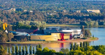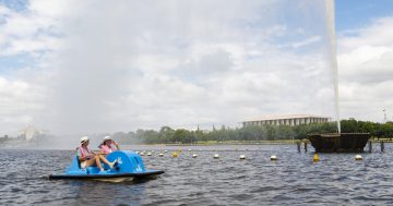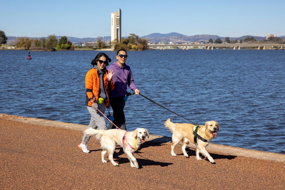
The NCA says the walk should be “comfortable for as many Australians as possible to take in the national capital” – that includes four-legged residents. Photo: Michelle Kroll.
Ever finished Lake Burley Griffin’s bridge-to-bridge walk raring for more? The National Capital Authority is calling for the popular walking route to join Australia’s greatest by extending it around the entire lake.
In a recent submission to the Federal Government’s Joint Standing Committee on the National Capital and External Territories, the NCA said there was “considerable opportunity to improve the path system around the lake”.
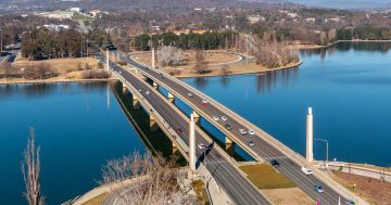
The current loop extends 5 kilometres around the Central Basin of the lake and takes in the Commonwealth and Kings Avenue bridges.
The proposed new route would incorporate existing tracks around the West and East basins and beyond to make for a total length between 35 km and 40 km.
The submission said the entire route would be improved for shared use by pedestrians and cyclists, with campgrounds and amenities to be added along the way.
CEO Sally Barnes said the end result would compare to multi-day walks in New Zealand, Tasmania and “others around Australia”.
“We know Canberrans love the lake, and we know visitors like to do what locals do, so this is a benefit to both locals and visitors,” she told Region.
Ms Barnes said the extended bridge-to-bridge walk would also be for “all abilities”. “Pedestrians, cyclists, people pushing prams or in wheelchairs … It’s a walk that should be comfortable for as many Australians as possible to take in the national capital.”
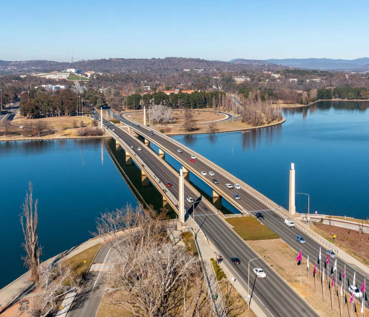
Land management is shared between the NCA and the ACT Government, and both parties are motivated to improve access to the lake. Image: NCA.
The idea was formed during COVID, when the existing walk was “extremely popular” among locals trying to keep their steps up. But the same couldn’t be said for other parts of the track.
“We started to think about the potential for upgrading some of these existing tracks to make it so you could multi-day walks.”
When the Joint Standing Committee on the National Capital and External Territories commenced an inquiry into “ways to foster and promote the significance of Australia’s National Capital” on 21 March, the NCA made their formal submission.
“We thought we’d float the idea to see whether there was interest in it,” Ms Barnes said.
“So far, the response has been very positive, so the next step is to map it out – have a look at the existing track to see where it might need upgrading. See what a decent day’s walk would be, and where each day might finish. And see whether there’s existing accommodation options and hospitality outlets along the way and whether we need link the track to more existing ones or consider adding new ones.”
More interpretative signage would also be added to point out significant landmarks along the way.
“We know there are points of interest that aren’t really interpreted for visitors as well as they could be.”
Land management around the lake is shared with the ACT Government, so the project would be a joint initiative between the two governments. Ms Barnes is confident of a warm reception here too.
“We have a good working relationship with all different arms of the ACT Government, and we all want to improve access to the lake. It fits with where we’re all going.”
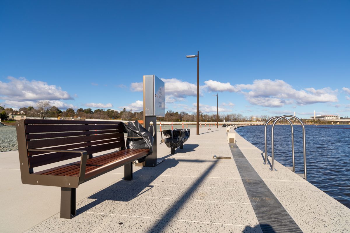
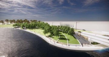
The freshly renovated Acton Waterfront in the West Basin will be the first stop for the extended walk. Photo: Michele Kroll.
The submission said the connection between the ACT Government’s new West Basin boardwalk and the National Museum of Australia on Acton Peninsula would be the first step in the full lake-loop project, and that this “be built as a priority”.
The NCA also plans to work with the ACT and NSW governments to improve the water quality of the lake.
“It would be counterproductive to encourage people to walk around the lake if it’s too polluted and there are too many days with too much blue-green algae,” Ms Barnes said. “There’s a lot of work to do.”


