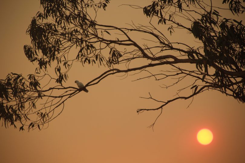
A corella perches in a gum tree during a fiery sunset in February this year. Photo: Alex Rea.
The ACT and south-east region of NSW have experienced higher rates of warming and declining rainfall than those reported in the latest State of the Climate report released by the Bureau of Meteorology and CSIRO, according to two Canberra-based experts.
Meteorologist Dr Clem Davis and climatologist Professor Janette Lindesay have analysed data from local weather stations including those at the Canberra Airport, Queanbeyan, Michelago, Fairlight Station (west of Canberra), Hall and others in the region during the past 100 years and will soon publish a paper on their findings.
They say the region has faced greater rates of temperature increases, especially in the past 30 years, while increased rainfall during winter and spring this year is only providing short-term relief from a long-term drought.
Professor Lindesay said temperatures in Canberra have risen by 1.5 degrees Celsius since the 1940s when temperatures were first recorded at the Canberra Airport. The State of the Climate 2020 shows average temperatures increasing in Australia by 1.44 deg C since 1910, but Professor Lindesay said if the airport readings went back to 1910 we would see an even greater temperature increase in the Canberra region.
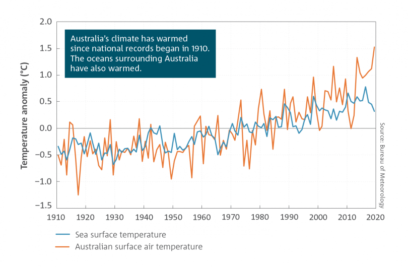
Graph showing air and sea surface temperatures since 1910. Image: BOM.
“It’s not surprising that Canberra has warmed at a faster rate than the average of the whole country because there is obviously a lot of variation over different areas,” Professor Lindesay told Region Media.
She said the biggest rates of temperature increases have been just west and north-west of the ACT to places like Wagga Wagga, plus western NSW and northern Victoria and South Australia.
“This pattern won’t change in the future, with modelling suggesting Australia will likely warm by more than three degrees if we keep on the current course, then it’s likely to be a bit more than that in Canberra and the surrounding region.”
The increase in the number of successive hot days with higher temperatures has also been a feature of the last 30 years. This puts a strain on the health system and resources needed to combat natural disasters such as last summer’s bushfires.
Winter has become warmer and shorter while there has been a 14 per cent decrease in autumn rainfall between the months of March and May in the past 30 years.
Professor Lindesay and Dr Davis said there will always be variables, but the long-term picture is indisputable.
“Between the 1950s and the mid-1960s, the highest peaks of temperature were equivalent to the lowest averages of the past 15 years. Our highest peaks now are out of the range of anything we’ve seen right across southern Australia.
“We are pushing the envelope of uncharted territory. It’s not like we haven’t seen a temperature of 42 degrees before, it’s just that now you can expect it every summer on multiple days,” Professor Lindesay said.
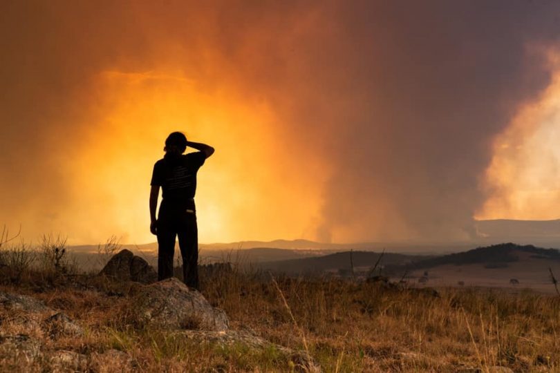
Bushfires near Braidwood during December last year. Photo: Jarrah Knowles.
State of the Climate 2020 is the sixth biennial report drawing on the latest climate observations, analyses and projections, and provides a scientifically rigorous analysis of Australia’s changing climate.
Climate scientists with the BOM and CSIRO also agree the warming trend in Australia is contributing to increases in extreme fire weather and the length of the fire season.
“Our science clearly shows that, due to increasing greenhouse gases such as carbon dioxide in the atmosphere, Australia’s climate is continuing to warm, and the frequency of extreme events such as bushfires, droughts and marine heatwaves is growing,” said director of CSIRO’s Climate Science Centre Dr Jaci Brown.
The BOM’s manager of Climate Environmental Prediction Services, Dr Karl Braganza, said Australia’s changing rainfall pattern is another key observation of the report.
“In the south-west and south-east of Australia, we are seeing drier conditions, particularly in the cool season months of April to October. In south-west Australia, for example, cool-season rainfall has decreased by around 16 per cent since 1970. These trends are projected to lead to more time spent in drought in the coming decades,” said Dr Braganza.
Professor Lindesay agrees, saying rainfall had decreased in the Canberra region by 22 per cent since the late 1990s.
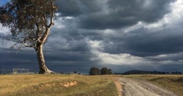
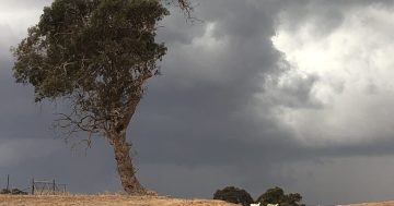
“We’ve never rebounded from the Millennium drought. The occasional wetter year, including this year, is wonderful and everything is green at the moment, but it’s not going to last,” Professor Lindesay said.
“This rain will sink into the soil profile a bit and will help to recharge the groundwater, but it hasn’t sunk into the lower levels of the water table. All we need is another couple of dry years and the benefit of this one wet year will evaporate.”
The State of the Climate 2020 report can be found on the CSIRO and Bureau of Meteorology websites.