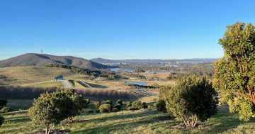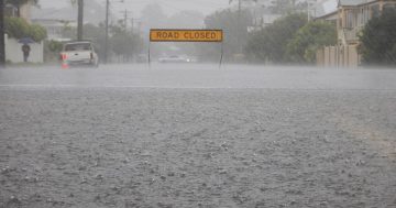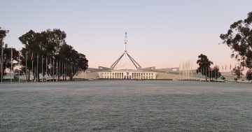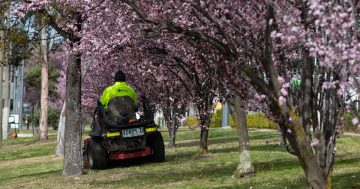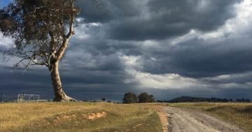
Weather conditions were warmer and drier than average in July 2023, according to the bureau. Photo: Michelle Kroll.
The data is in and no, you didn’t imagine it: July 2023 was warmer and drier than average.
The Bureau of Meteorology (BoM) has released its monthly weather wrap-ups, which found much of eastern and southern Australia was warmer and drier than normal.
Weatherzone meteorologist Brett Dutschke said the BoM’s findings weren’t unexpected.
“We were expecting that winter as a whole was more likely to be warmer and drier than normal, rather than colder and wetter,” he said.
“From these conditions, a lot of southern and eastern Australia has dried out relatively quickly since March.”
According to the Monthly Climate Summary for the Australian Capital Territory, the mean maximum temperature came in around 2 degrees Celsius higher than average.
The warmest day was 29 July (with a top of 18.1 degrees Celsius), while the coolest day was 8 July (with a maximum of 9.9 degrees Celsius).
Canberra Airport’s temperature of 14.5 degrees Celsius exceeded the long-term average temperature by 1.8 degrees and was a record high for the site.
Tuggeranong recorded the highest July mean daily temperature for the Territory at 14.7 degrees Celsius.
Additionally, some stations in the Territory recorded just a third of their average rainfall for July.
Canberra Airport recorded 10 mm of rain, or just 32 per cent of the long-term average of 31 mm, according to the BoM.
Across the border, the bureau found similar trends at work, with the state also warmer and drier than normal.
The Monthly Climate Summary for NSW found the state also recorded temperatures that were about 2 degrees higher than the 1961-1990 average.
This meant the state registered the fourth highest on record and the warmest July since 2017, and several locations recorded their mean daily maximum temperature.
Bombala was among the sites with a new mark of 14.7 degrees Celsius (from 13.7 degrees Celsius), as was Cooma with 14.4 degrees Celsius (from 13.4 degrees Celsius) and Thredbo Village at 8 degrees Celsius (from 7.5 degrees Celsius).
Rainfall for July 2023 came in at 20.52 mm, or 45.8 per cent below the 1961-1990 average.
The lower-than-normal rainfall affected parts of the Riverina and the southern, eastern and far south-east regions, the bureau said.
Mr Dutschke said these conditions were being affected by several climate drivers.
“We’re bordering on El Nino, which means moisture coming in from the east is significantly less and skies are generally clearer,” he said.
“These factors allow days to warm up more than they otherwise would, meaning extra sunshine.
He said the Southern Annular Mode, or winds that flow between Australia and Antarctica, was also affecting conditions.
“Strong fronts are staying further south, and we’re left with high-pressure systems being more dominant and giving us dry weather, colder nights and warmer days,” he said.
The Indian Ocean Dipole had worked to limit rainfall, Mr Dutschke said.
“The water on Australia’s side of the Indian Ocean has cooled down, which means there is less moisture above the Indian Ocean’s surface, and so fewer cloud bands come from across the ocean to be a source of rainfall,” he said.
“The cloud bands we have been getting from the Indian Ocean way have contained less moisture, so any rain has generally been lighter and more patchy.”
In the coming days and weeks, Mr Dutschke said, the warmer-than-normal weather was expected to continue.
“Now that we’re in August, this is typically a month where we start to get some big changes in temperature, and we can expect some noticeably warm days coming up,” he said.
“We’ll still get our cold spells, but they’re most likely to be brief.
“It’s likely that the next few months, as a whole, will end up being warmer and drier than normal.”


