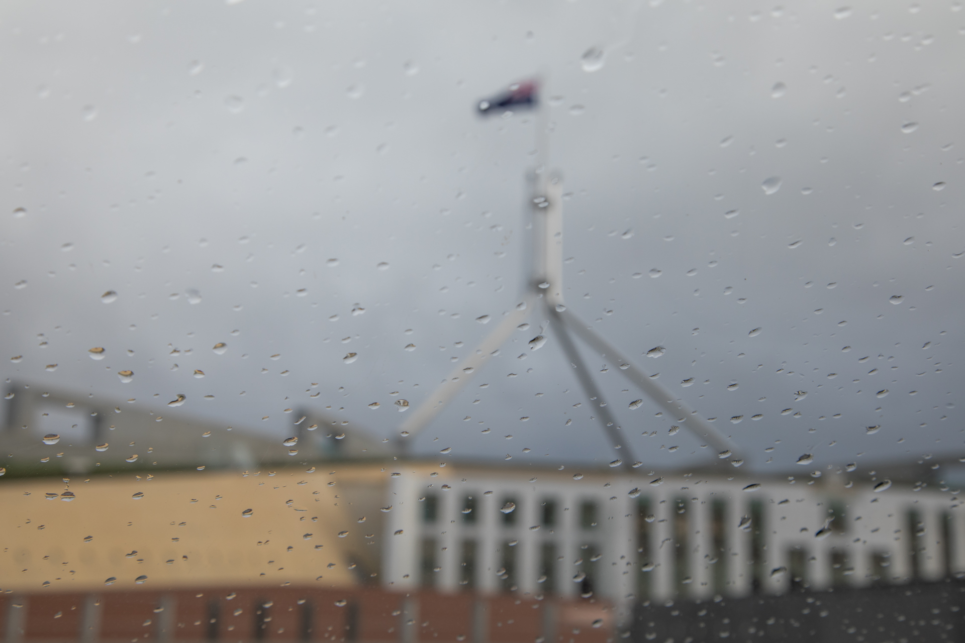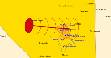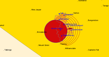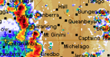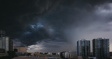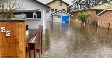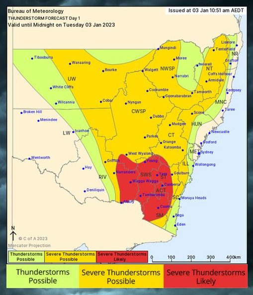
Thunderstorms have been forecast for today across the ACT and southeast NSW. Image: BOM.
The Bureau of Meteorology has forecast severe storms for the ACT and surrounding areas late this afternoon (3 January).
The Bureau says that heavy rain, large hail and damaging winds are likely across the ACT and parts of southern NSW, including the Riverina. The warning currently stretches from west of Wagga Wagga to Young, Cooma, Yass and Tumbarumba.
It’s not yet clear what form the storm activity will take as a slow-moving trough continues to create changeable weather conditions across the South East.
“We’re monitoring at the moment to determine whether strong rain or hail is most likely as the system moves out of western NSW, where it’s been creating significant activity for the past few days,” a duty forecaster for the Bureau said.
“We’ll send out a warning when those characteristics become clearer, but at the moment, our advice is for people to take any precautions they need to this morning long before the storms arrive.”
The rain system comes on top of the slow-moving flood emergency that continues in parts of the Far West, including Menindee, where the Darling River is expected to peak at near-record levels in the next few days.
River levels around the 10-metre mark could take several weeks to pass through the Darling system and into the Murray, as towns at the Murray mouth in South Australia continue to grapple with one of the largest floods in recorded history.
The BOM says the weather system currently affecting the Riverina, South West Slopes, ACT and Monaro regions will linger through Wednesday but will likely begin clearing by Thursday.
“It’s slow-moving, but it looks like there is a ridge of high pressure behind this trough that will bring clearer days on the weekend and warmer weather leading into next week,” the forecaster said.
Current forecasts are for temperatures in the low to mid-20s in Canberra and Wagga midweek, clearing to higher temperatures on the weekend and into next week.


