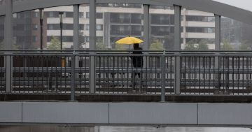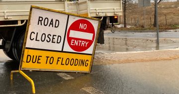
Bust out the brolly! Heavy rainfall is expected across NSW and the ACT in coming days. Photo: Kim Treasure.
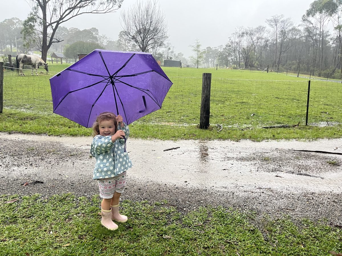
It’s time to pack the brolly (and maybe think about staying indoors), with heavy rainfall and wind predicted for much of the country.
Weatherzone senior meteorologist Brett Dutschke said much of Australia would face poor weather over the weekend and into early next week.
“There’s potential for 30 to 60 mm in southeastern NSW and the ACT,” he said.
“There will be areas that get significantly more than 60 mm, and the most likely place [for that] will be east of the ranges.
“I wouldn’t rule out more than 100 mm for coastal parts of the south and southeast of NSW.
“It’ll be wet and windy – and if you’re on the coast, it’s not going to be much fun at the beach.”
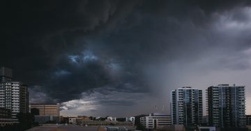
The conditions will be driven by a combination of two systems: a northwest cloud band and an offshore low-pressure system.
“Moisture in the cloud band originated in the Indian Ocean and is coming across northwestern Australia,” Mr Dutschke said.
“The slow-moving nature of the weather pattern has just allowed that moisture to build.
“Now that we’re finally getting that weather system moving, we’re getting a low-pressure trough, which feeding off that moisture and linking up with a cold front – you need that cold front to get the system scattering the rain across the country.”
On Sunday night (2 June) and into Monday, the northwest cloud band will start moving off the coast, and the rain will be driven by the offshore low.
“With that [second] system, there’s probably going to be a mix of not just the rain, but also pretty strong winds and some large waves.
“It’ll be pretty cold.”
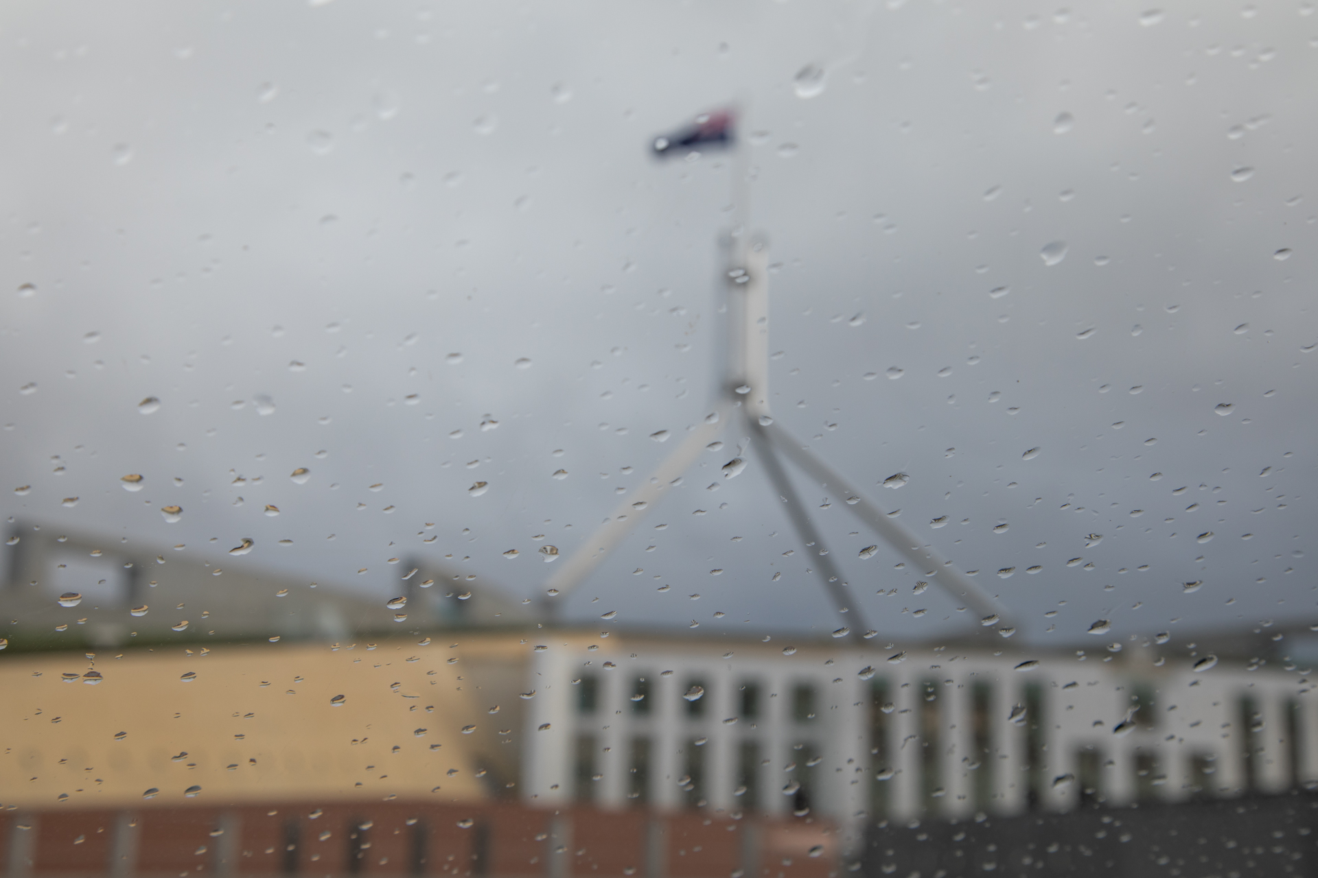
While around 50 mm is forecast for the ACT as the weekend approaches, the NSW South Coast is likely to see heavier rainfall.
“That low is likely to be in the area for a few days. Because it will be pretty slow-moving, the rain will be longer lasting,” he said.
“It looks like it will be a fairly deep, low and intense low – it will have much more moisture than what occurs further inland, because it is in close proximity to the Pacific Ocean.”
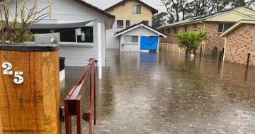
Mr Dutschke said riverine flooding might be possible amid intense rain, such as on the NSW South Coast.
“When you get rain after a lengthy dry spell, it’s important to clear gutters where possible,” Mr Dutschke said.
“There is usually a build-up of leaves, sticks and branches. This stops any rain from draining away and can lead to flash flooding, particularly over roads and also around the house.
“People should listen out for any warnings, but there is time to prepare.”
Mr Dutschke said further rainfall was expected “probably two or three days” after the upcoming rain had cleared.
“Not everywhere in southeastern Australia will get this follow-up rain, but a large part of it will,” he said.
“That rainfall will be more confined to southern parts of the country – the interior of the country will miss out on this next system.”
People can download the Hazards Near Me app to stay updated with the latest flood and storm warnings.
If you need assistance from the NSW SES, call 132 500; if the situation is life-threatening, call triple zero. Warnings will be issued by the Bureau of Meteorology as needed.
Original Article published by Claire Sams on About Regional.