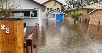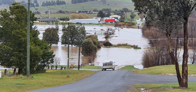
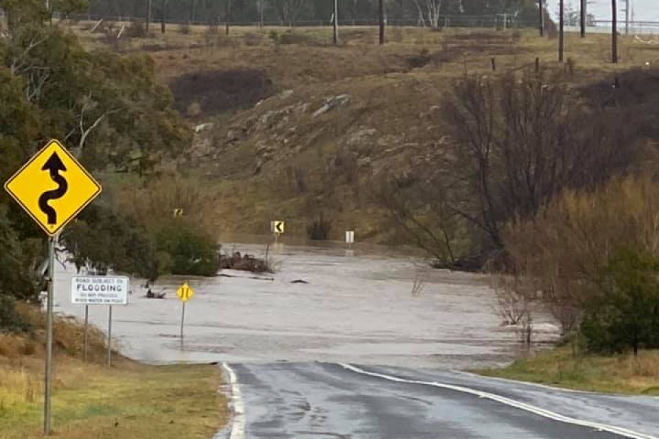
Gunning is experiencing flooding. Photo: Laura Hill;, Facebook.
UPDATE 12:45 pm, August 9: Flooding has cut access to the Hume Highway from the Federal Highway at Yarra as heavy rains fuel rising rivers across the South East.
There is currently no access onto the Federal Highway southbound, although northbound lanes remain open. There is a diversion in place that is suitable for all vehicles and will add an additional 20 minutes of travel time.
Further north, the Illawarra Highway between Princes Highway and Tongarra Road at Albion Park, a frequently used route to the Illawarra from the Southern Highlands, has also been closed by flooding.
Live Traffic NSW says that there is also hazard debris at Monga on the Kings Highway near Pooh Corner that is affecting traffic in both directions.


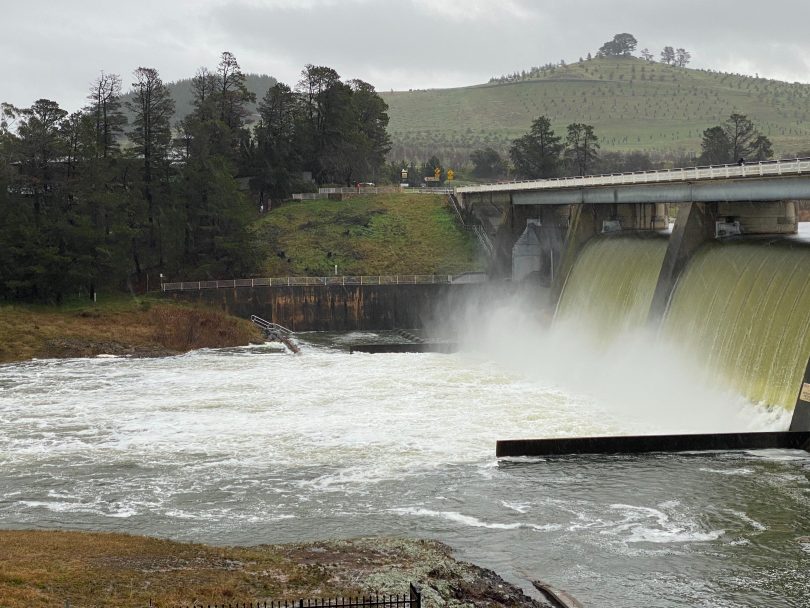
The flood gates at Scrivener Dam are open to manage the volume of water. Photo: Region Media.
UPDATE 11 am, August 9: The Scrivener Dam floodgates are open as rain continues to drench Canberra, while Lake George is covered in water and authorities warn of flooding risks across the South East.
Around 40 mm of rain fell in the ACT’s northern regions in the past 24 hours; the southern areas of Canberra have received 30 mm.
The SES says that minor flooding is likely in Queanbeyan and Oaks Estate today after significant river level rises in the upper Molonglo.
River levels at Carwoola are nearing a peak of around 4.0 metres and the flood peak is expected to reach Oaks Estate and Queanbeyan later Sunday afternoon although no spills are expected from Googong Dam. Minor flooding is also expected along the Queanbeyan River.
In Yass, the SES compound is open for members of the public to get sandbags if they are at risk of flooding from 10:30 am today (9 August). The SES has sandbags available for members of the public to fill themselves. The SES unit in Yass is at 1410 Yass Valley Way.
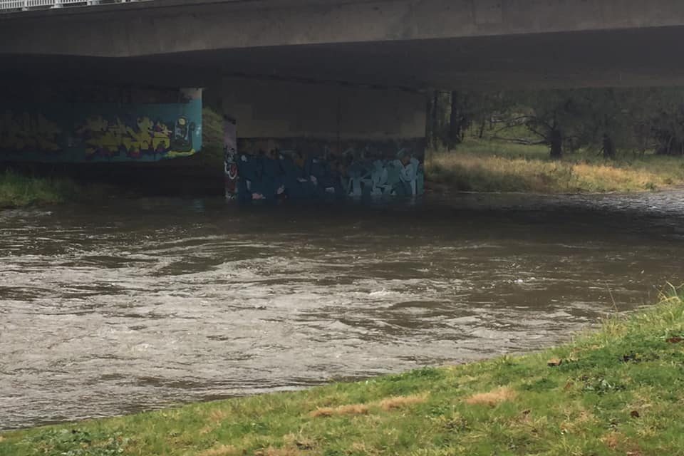
Flooding across the McCulloch St waterway in Curtin. Photo: Region Media.
Across the South East, and towards the coast, heavy falls have been recorded at Majors Creek, where 142 mm has fallen in the past 24 hours, and 159 mm at Araluen. Rossi has recorded 128 mm, while on the coast weather stations around Moruya have recorded falls of between 140 and 160 mm.
August rains deliver a Lake George (Weereewaa) covered with water. Far from full but what a site after decades of drought. @canberratimes pic.twitter.com/3G05Tywrab
— Tim the Yowie Man (@TimYowie) August 8, 2020
But locations to the northwest of Canberra have received somewhat less rain, with totals between 30 and 70 mm.
The Bureau of Meteorology says that flood warnings are current for the Shoalhaven, Moruya, Deua, Queanbeyan, Molonglo and Snowy Rivers although river line flooding is no longer expected along the Bega River.
The weather is being caused by a trough lying near the southern or the central part of the coast, with a series of lows embedded within the trough making landfall.
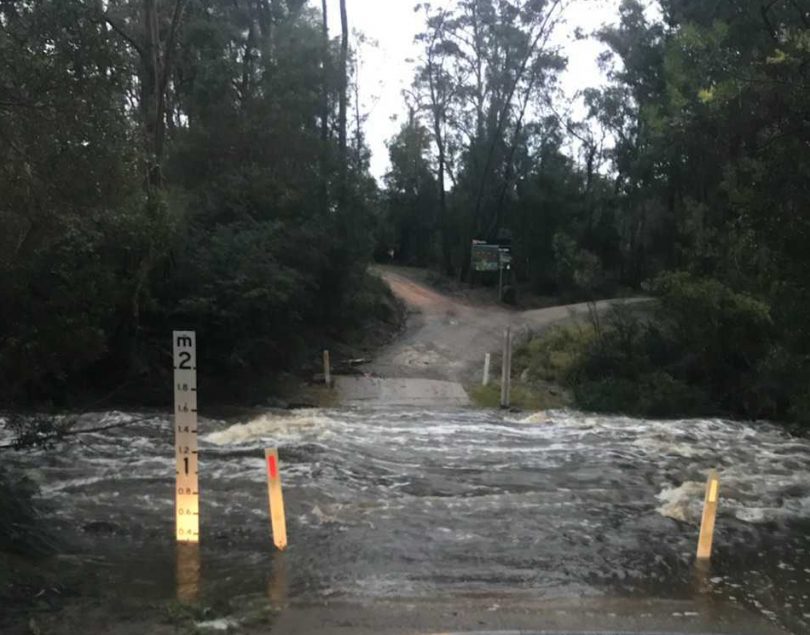
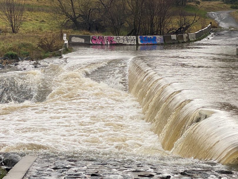
Creeks are flooding across the Moruya region. Photo: Karyn Starmer.
This is bringing heavy rainfall to the southern coastal districts and adjacent ranges today, along with the damaging winds and large surf along the southern half of the coast.
The weather will shift further to the coast and north from Monday as the trough and the lows move away from the landmass, before contracting to the Tasman Sea by Tuesday.
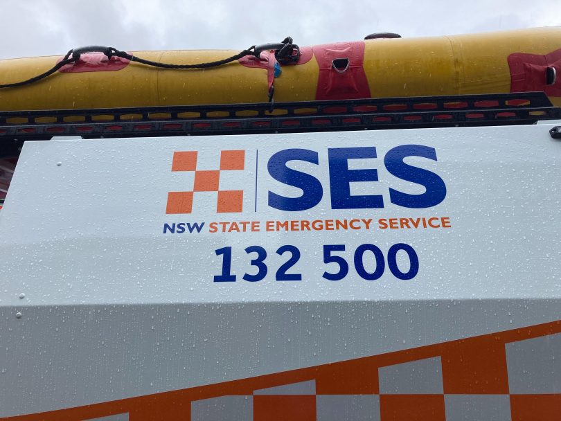
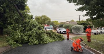
Call the SES for assistance in flooded South Coast areas. Photo: Alex Rea.
The Bureau says there is a severe weather warning for the South Coast and parts of Illawarra, Southern Tablelands and Snowy Mountains forecast districts.
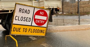
If you require assistance, call the SES on 132 500. Motorists are urged not to attempt crossing flooded creeks and waterways.