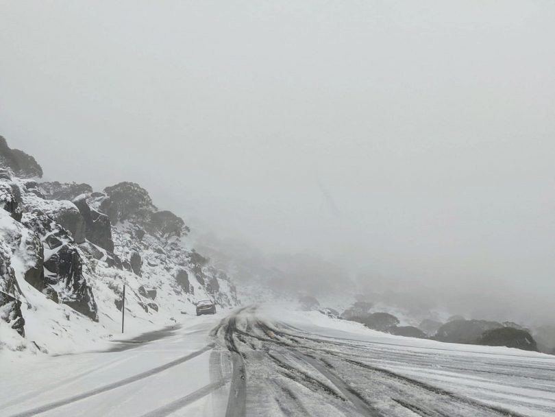
Kosciuszko Road was closed this morning due to snowfall. Photo: Facebook – NSW Incident Alerts.
The Canberra region will now head into the summer months with full dams after a week of rain but remain in the grip of one of the cooler November periods in recent history.
An overnight low of 0 degrees is expected tonight (15 November), after the three coldest days of the month so far on Saturday, Sunday and Monday.
Last week’s rain resulted from the combination of a tropical air mass from Queensland and a deep low-pressure system from the west, which caused the periods of intense rainfall from Thursday evening to Sunday.
According to the Bureau of Meteorology, Canberra recorded approximately 44 mm of rain from Friday to Sunday.
Since the weather event began, the NSW SES has received 1350 requests for assistance, 28 of which were flood rescues.
With the rain lessening over the last few days, the wind has become a more prevalent issue across NSW. The SES has reminded the community to be extra vigilant on the roads, with many of the region’s rivers sensitive to rainfall and to turn around if met with floodwaters while driving.
The total accessible water storage for regional NSW is 94 per cent, a 3 per cent rise since last week. Burrinjuck Dam is at 96.9 per cent, Lake Wyangala at 104.9 per cent, Blowering Dam at 97.7 per cent and Brogo Dam is at 106.9 per cent.
In the ACT, all four dams are at 100 per cent.
At the halfway point in the month, Canberra is already 34 mm over the average rainfall for November.
There has been widespread snowfall in the Snowy Mountains and Snowy Valleys over the weekend.
Today (15 November), snow is considered possible above 1500 metres at Mount Ginini, Jindabyne has snow above 1200 metres, and Snowy Valleys has a 90 per cent chance of snow showers.
The weather is predicted to improve tomorrow (16 November), with a steady increase in maximum temperatures until Friday’s maximum of 24 degrees. Rain is expected to begin again on Saturday with up to 5 mm, and then more significantly on Sunday with between 10 to 25 mm.


