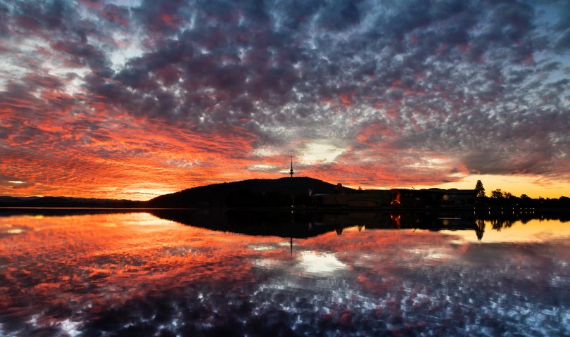
Winter sunset over Black Mountain & Lake Burley Griffin. Photo: Michelle Kroll.
As Ngunnawal elder Wally Bell gazes out from Black Mountain, he looks not only at the capital city but further and deeper.
Wally sees the landscape as it once was and the cultural landscape below it – evidence of thousands of years of occupation by traditional owners.
“We used the whole landscape,” he says of the 25,000 years for which there is evidence of Aboriginal presence along the Molonglo River. Groups ranged across the fertile fields and reliable water sources, using the region as a regular meeting place. In winter, the limestone caves now beneath Lake Burley Griffin were used for permanent shelter.
On Sunday, the Friends of Black Mountain will host two rambles on the mountain with Wally and history researcher and writer Mark Butz.
“Black Mountain is an important element of the Aboriginal and national capital landscape from deep time to today,” says convenor Linda Beveridge, who will discuss places and plants along the woodland walk.
“It may be one of the better-known mountains in Australia because of research and studies done by CSIRO scientists and others.”
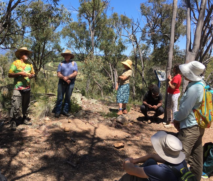
Wally Bell and Mark Butz with a group of walkers on Black Mountain. Photo: Supplied.
The ramble will cover the Aboriginal, historic and natural heritage of Black Mountain’s many layers of history. Originally a landmark on the Limestone Plains, the mountain then became a mining site excavating sandstone. The bush has since regenerated and the area is now an integral part of Canberra Nature Park.
Wally Bell says the traces of pre-European occupation are clear around Black Mountain if you know where to look.
“The place still has a lot of cultural content,” he explains.
“We begin the walk at Caswell Drive from the car park and there are significant artefact scatter sites nearby. The current roadway for Caswell Drive was supposed to be closer to Black Mountain but was moved because there are so many artefacts in the vicinity.”
There are also extensive scatter sites along the creek line near the Glencloch Interchange and Wally says other artefacts often surface along the maintenance tracks and woodland. There is also a large water storage tree and other modified sites.
“The walk is about identifying a cultural landscape,” Wally says.
“We discuss not only what we’re walking on and seeing in relation to native plants that we used for food and medicine, but also connect that place with other known cultural features like the ring tree on Bindubi St, the canoe tree on Mt Painter and the burial site in the Arboretum, all of which are quite significant.”
Signage along the woodland walk has recently been updated with Wally’s input and now reflects both the plant and animal life and how Aboriginal people used them.
“I’ve drawn the yam daisy, for example, and used Aboriginal artwork because there is an underlying story. You might be able to see the yam daisy flowering, but the underlying story is how it was used and tended by our people.”
The walks take place on Sunday, 24 April between 9:30 am and 12 noon, and 1:30 to 4 pm starting at the car park on Caswell Drive’s eastern side, closest to the mountain.
Bookings are essential and walkers should be aware that the ramble has some steep sections and rough, uneven ground. There is a suggested donation of $5 and walkers should bring water, snacks, sturdy shoes, a hat, sunscreen and friends.
For bookings, email your name and phone number to friendsofblackmountain@gmail.com, or phone Linda 0437 298 711 or Libby 6296 1936 so that you can be contacted if arrangements need to change.
