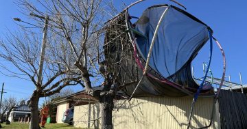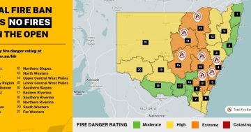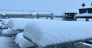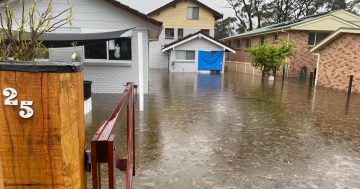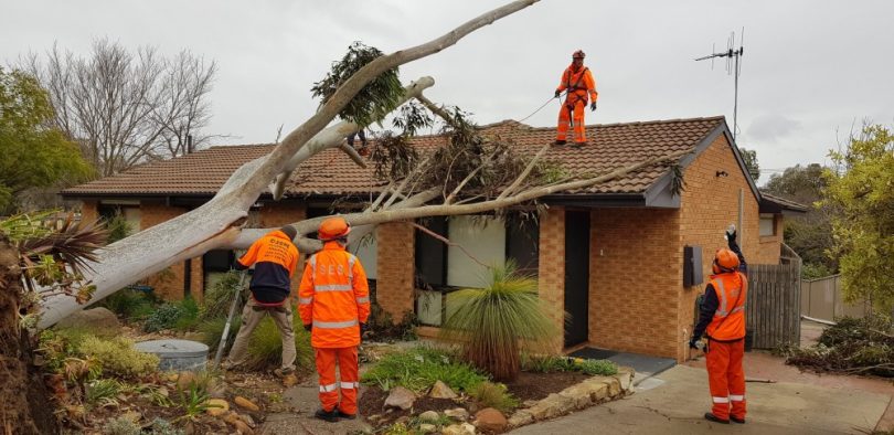
Emergency services responded to more than 60 calls for help today. Photo: Supplied, ESA
The ACT State Emergency Service (SES), ACT Fire and Rescue, and Transport Canberra and City Services have responded to more than 60 calls for help following today’s damaging winds.
Volunteers from the SES have been called to repair electrical threats from fallen power lines as well as damage from fallen trees.
The SES responded to calls right across Canberra although the majority occurred in the southern suburbs of Macarthur, Chisholm and Calwell.
Strong winds are expected to continue until tomorrow and the SES advises the Canberra community to be mindful of their surroundings, not to stand or park their vehicles under trees and to stay away from fallen power lines.
There has also been a power outage in the Weston Creek area.
Emergency crews were called to Maryborough Street in Fyshwick after a tree fell on powerlines.
Wind speeds of between 40 and 70 km/h have been recorded while the strongest gust of 76 km/h was recorded at Canberra Airport just before midday.
The airport recorded 10 mm of rain before 9:00 am. Rainfall since then has been sporadic.
The forecast is for winds to decrease in the middle of tomorrow, before becoming south to southwesterly and light in the late afternoon. Wednesday’s forecast is for a return to sunny conditions after a frosty morning.
The Bureau of Meteorology has also issued a severe weather warning for damaging winds and surf and heavy rain for a large section of coastal NSW from Sydney to the Victorian border.
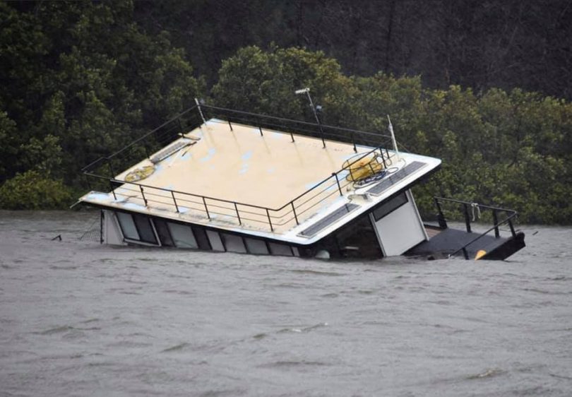
A houseboat on the Clyde River at Batemans Bay goes under during the storm. Photo: Stephanie Hunter.
On the NSW South Coast, minor flooding is occurring along the Deua River at Wamban, west of Moruya.
The Bureau of Meteorology predicted the Deua River at Wamban would reach around five metres at 4:00 pm today with minor flooding.
The Moruya River is expected to remain below the minor flood level.
Eurobodalla Shire Council is keeping a close eye on the vital Clyde Mountain link between Canberra and the coast following a landslip near Pooh Bear’s corner. A houseboat on the Clyde River also flooded and sank.
Other parts of coastal NSW have received more than 100 millimetres, with many homes between Batemans Bay and Merimbula feeling the brunt of the low-pressure system.
At 1:46 pm, a wind gust of 117 km/h was recorded at Montague Island off Narooma, while Moruya Airport also received winds in excess of 90 km/h during the morning.
A swell in excess of six metres is forecast for the South Coast, while waves of up to 10 metres have been recorded off Batemans Bay. The large swell is already causing further erosion of beaches along the entire NSW coastline.
The weather is coming from an east-coast low-pressure system that is expected to sit in the Tasman Sea for the next few days. The system is the result of a cold air mass that has travelled over inland NSW and intensified when it mixed with warmer water off the east coast.
Many of us are familiar with the term East Coast Low, but where strong low-pressure systems in the east are concerned, they're not the only low.
Watch our short video where we help you to get to know your lows.
For forecasts and warnings, visit https://t.co/Gghqq5zq47 pic.twitter.com/XYwNvsjJZZ
— Bureau of Meteorology, Australia (@BOM_au) July 27, 2020


