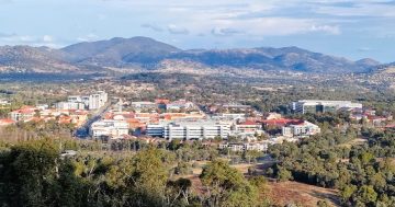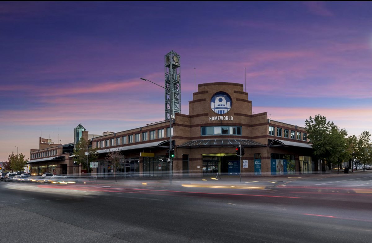
Tuggeranong Homeworld. Photo: Sentinel.
It’s no secret Gungahlin is one of the fastest-growing regions in Australia, and there’s no sign of slowing.
Not only are the two new suburbs of Jacka and Kenny set to come online in the next five years, but the ACT Government is also brokering a deal with NSW to extend the north-western border near Hall to take in the greenfield development of Ginninderry.
And recent population predictions from the ACT Treasury expect Canberra to be home to 800,000 people in 40 years’ time, with most in the inner north, Molonglo Valley and Belconnen.
This is reflected in the ACT Government’s indicative land-release program too, with most of the new 30,000 dwellings over the next five years slated for Gungahlin, Belconnen and the Molonglo Valley.
In all this, there’s a conspicuous absence.
Tuggeranong still has the second-biggest share of the ACT’s population at 19 per cent, after Belconnen (23 per cent). But over the next 40 years, as the other districts take off, Tuggeranong and Weston Creek are expected to be left behind.
“Established and relatively aged districts … like Tuggeranong and Weston Creek are either projected to shrink or grow marginally in population by 2060,” the ACT Treasury report read.
This is in stark contrast to a generation ago, when the southernmost district was booming to the point where the population centre – or spot closest to most Canberrans, on average – sat midway between the inner south and Woden Valley. And it was inching further south.
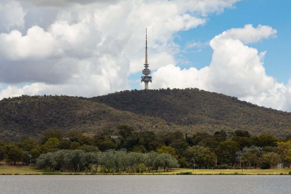
The population centre is the figurative spot closest to most Canberrans, on average, and it’s now headed over Black Mountain. Photo: Michelle Kroll.
But a recent analysis by ABC Canberra revealed the ACT’s population centre has been moving north at a speed of about 27 centimetres a day since the turn of the century, as more people take up residence further north.
It entered Lake Burley Griffin about the time the COVID pandemic began and is now crossing the Black Mountain Reserve.
But will the population centre ever head back down? Or, to put it another way, what’s happening to ”the deep south”?
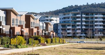
It’s true several apartment complexes have exploded alongside Tuggeranong Creek over the past 10 years – enough to send the percentage of the district’s single detached dwellings down from 87 per cent in 2016 to 80 in 2021.
Following a period of consultation, the ACT Government has committed $4.75 million for “design and construct improvements” across the Lake Tuggeranong foreshore later this year, which – in turn – follows a redevelopment of the main road, Anketell Street. The main shopping mall of South.Point has also welcomed several new stores over the years, to the point where it now dwarfs Westfield Woden.
Earlier this year, the Government handed down a glimpse of the future in its draft district strategies, which “identify areas for future growth across our city”.
“These areas include land for residential homes, community infrastructure including schools, and commercial purposes,” an ACT Government spokesperson told Region.
The strategy for Tuggeranong reflects the meagre population projections, with growth largely resting on the laurels of light rail.
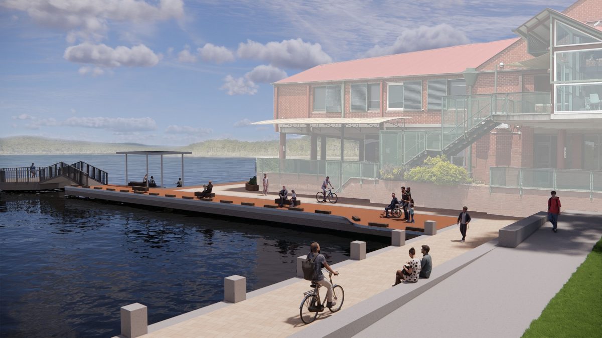
An artist’s impression of the Government’s plans for an upgraded Lake Tuggeranong boardwalk. Image: ACT Government.
“The areas with the best overall suitability for future growth are generally concentrated in the town centre and northern half of the district, aligned with the Athllon Drive corridor and the indicative future light rail route, the group centres and town centre, and much of Kambah,” the draft district strategy reads.
“The suburbs furthest south generally show a lower ranking in relative suitability, influenced by travel distances and accessibility to facilities and services.”
There are more reasons why new suburbs are off the cards for Tuggeranong, including the Government’s policy for up to 70 per cent of the ACT’s new homes to be built within the existing urban footprint (otherwise known as ”infill”).
“We know that infill development is cheaper to build, and therefore to buy, and makes for a more compact and sustainable city,” the spokesperson said.
“We don’t want to see urban sprawl that increases travel time and impacts on the environment.”
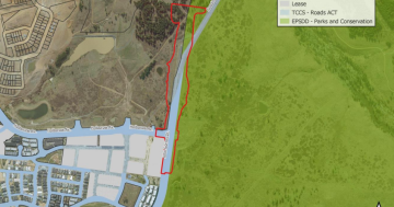
Tuggeranong is also locked in by the Tidbinbilla Nature Reserve on the west, the NSW border to the east, and the Rob Roy Range Nature Reserve to the south. And the one sliver of available land, just over the Murrumbidgee River on the west, was discounted early on.
“West Murrumbidgee should not be considered for development as it contains significant areas of yellow box and red gum grassy woodland endangered ecological community and secondary grassland,” the former Territory and Municipal Services (TAMS) department wrote to then Planning Minister Andrew Barr in 2010.
“In addition to the conservation values, TAMS has also highlighted the fire risks associated with development in this location.”
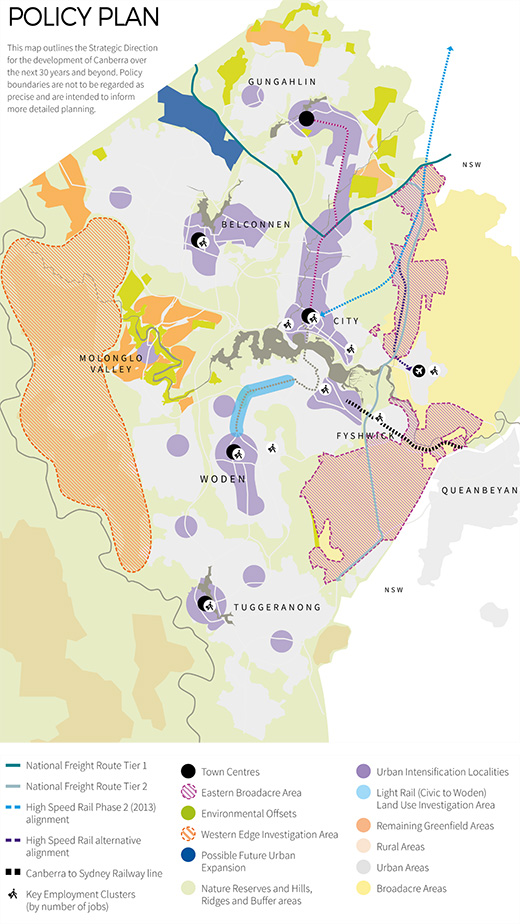
The ACT Government’s 30-year plan for Canberra, displaying the Western Edge. Image: ACT Government.
The ACT Government spokesperson confirmed with Region development over the river is ruled out due to “the huge costs of development”.
“It is also important that we maintain a buffer between the urban fringe and Namadgi National Park.”
For now, the only plans to expand the ACT’s footprint are centred on what’s dubbed the ”Western Edge”. This area, still on the eastern side of the river, measures 9800 hectares and is bordered by Belconnen, Molonglo Valley, Weston Creek and the top of Tuggeranong.
The Government is still investigating what this will look like, but closer to the heart of the city, it’s expected to have the most growth when it comes to job opportunities and property values over the next few decades.
So, for the foreseeable future, it seems the ACT’s population centre will continue its relentless march north.


