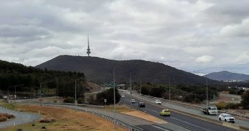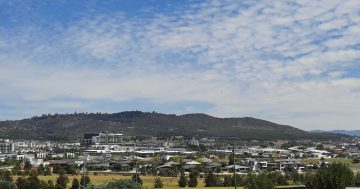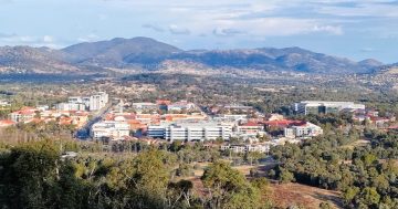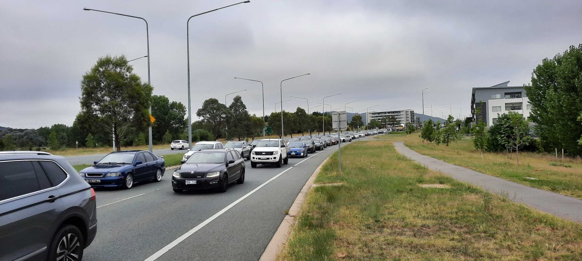
Slow going for Molonglo Valley traffic on Cotter Road heading to the city. Photo: Ian Bushnell.
It’s a little after 8 am and the daily chug out of Molonglo towards the city is hardly moving.
There are only two ways out of Canberra’s newest and fast-growing district, but when commuters need to get to the city, John Gorton Drive is a river of cars flowing into the Cotter Road/Streeton confluence and a string of traffic lights before opening out beyond the Tuggeranong Parkway.
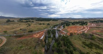
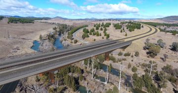
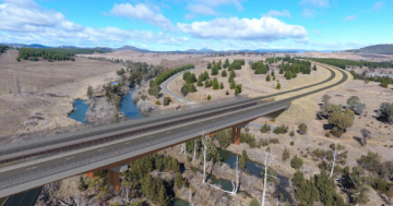
The construction of the Molonglo River Bridge and completion of the northern end of John Gorton Drive by the end of 2025 will transform the run to Belconnen, and to the city via William Hovell Drive.
But without an alternative route out of the southern end for city and Tuggeranong bound drivers, the traffic logjam will only intensify as Molonglo’s population builds on its current 12,000 or so residents.
Transport Minister Chris Steel’s Molonglo River Bridge press conference this week brought some hope for commuters that the government is moving ahead with the long-planned east-west arterial that will offer an alternative route to the Tuggeranong Parkway.
Mr Steel revealed that the Suburban Land Agency’s estate development plan for the new town centre to be released later in the year would include road connections to the proposed east-west arterial but he remained non-committal on when that might take shape.
“So they will start to build out that road which will connect with Holborow Avenue in Denman Prospect and then eventually that will connect out to the Tuggeranong Parkway through another bridge across the Molonglo River,” he said.
“So we’re looking at the timing of that project and when it will be needed as part of the development of the new town centre.”
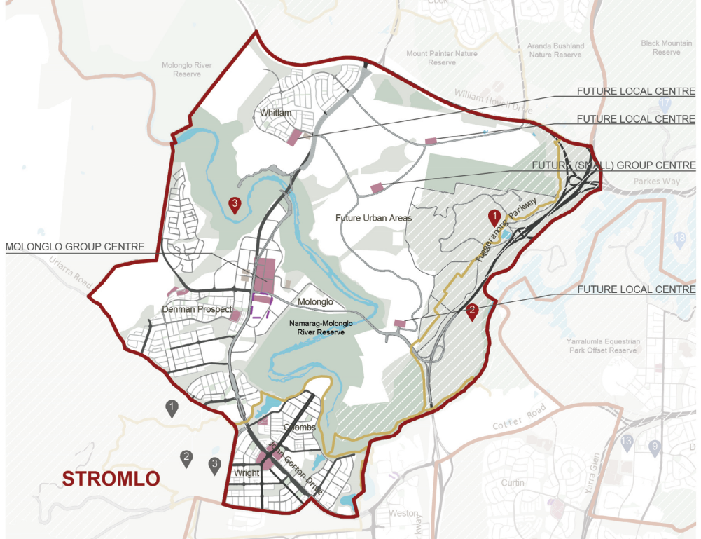
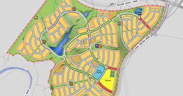
A map of the Molonglo Valley showing planned development, including new roads. Image: ACT Government.
The first land release for the town centre is due to take place in 2024-25.
Mr Steel also said other roads from Molonglo were planned to connect John Gorton Drive with Bindubi Street on William Hovell Drive.
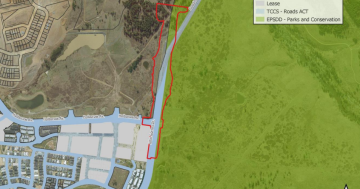
The map of a future Molonglo Valley provided in the District Strategy shows the east-west arterial cutting across the Molonglo River Reserve and along the southern edge of the National Arboretum to a section of the Tuggeranong Parkway north of the Cotter Road ramps.
One observer has called this threading the eye of the needle.
But this is indicative only and the government says this alignment is subject to change.
The map also shows two roads from John Gorton Drive servicing yet to be named new suburbs, with one heading south to the arterial and the other going north to William Hovel Road.
Molonglo Valley Community Forum convenor Ryan Hemsley welcomed the news but was circumspect, being realistic about how long it may actually take to achieve.
“We’re very much looking forward to plans for the future east-west arterial connecting Holborow Avenue and Denman Prospect out to the Tuggeranong Parkway,” he said.
“This is obviously the next big Molonglo River Bridge project. But I think for the residents of Molonglo just completing the first one is going to be a significant achievement.”
For those enduring the peak time frustration it can’t come soon enough.


