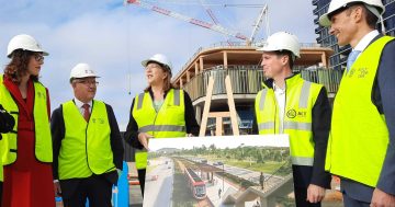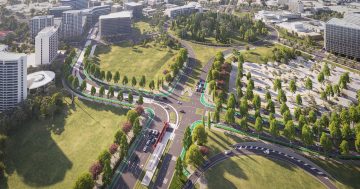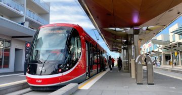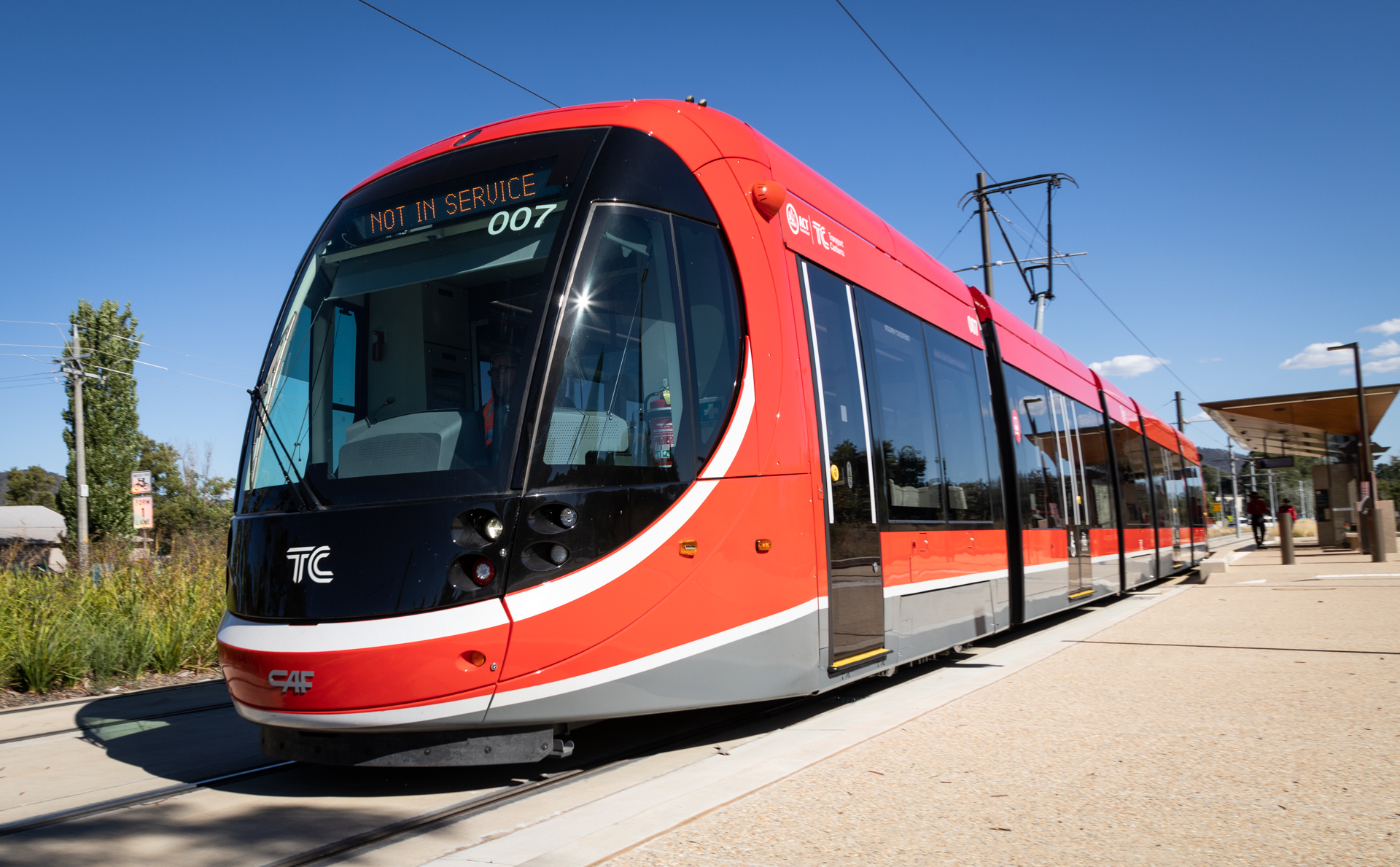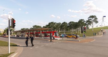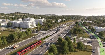
The Woden transport interchange. Light rail will increase the potential for infill development. Image: ACT Government.
The light rail corridor to Woden and beyond to Mawson could sustain twice the number of homes already there, but it will require rezoning land and lifting building heights, according to a confidential study commissioned by the ACT Government.
The Canberra Light Rail Stage 2B Urban Infill Assessment by Mecone and Atlas Urban Economics was finalised in December last year but has only come to light through a Freedom of Information request.
The report examines five precincts – West Deakin, Curtin Horse Paddocks, Phillip/Woden Town Centre, Mawson and the remainder of the corridor – and provides dwelling and employment forecasts under three scenarios – Base (existing), Medium and High.
It says the corridor, which holds about 13,000 dwellings, could have capacity to contain about 25,000 (Medium) to 30,000 (High) dwellings and almost 70,000 jobs by 2041, where a combination of light rail and “more viable” planning controls are in place.
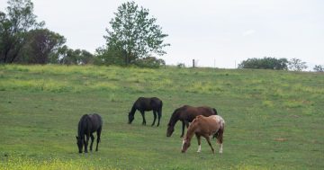
Phillip/Woden, which currently has 2,100 dwellings, and the Horse Paddocks offer the most potential, with capacity for about 10,000 and 2,000 dwellings respectively.
The study says Phillip-Woden is the key opportunity for sustainable and accessible growth because it already is a development area with potential development sites such as surface car parks. Light rail would drive higher densities and increase demand for business floorspace in the precinct.
It points to medium and high-density mixed-use development spreading from the Town Centre into the Phillip trades area, where land banking is already occurring for that purpose.
In the corridor overall, light rail would result in a greater proportion of medium to higher-density housing in the precincts, providing more housing choices, the study says.
But it says any new development would also have to be commercially viable and it suggests increases in building heights to achieve this.
Also pivotal to new development will be the location of light rail stops and infrastructure such as pedestrian bridges.
The study says that to realise the full benefits of light rail, it is crucial that people can quickly, safely and easily access the stops and the centres they are connecting.
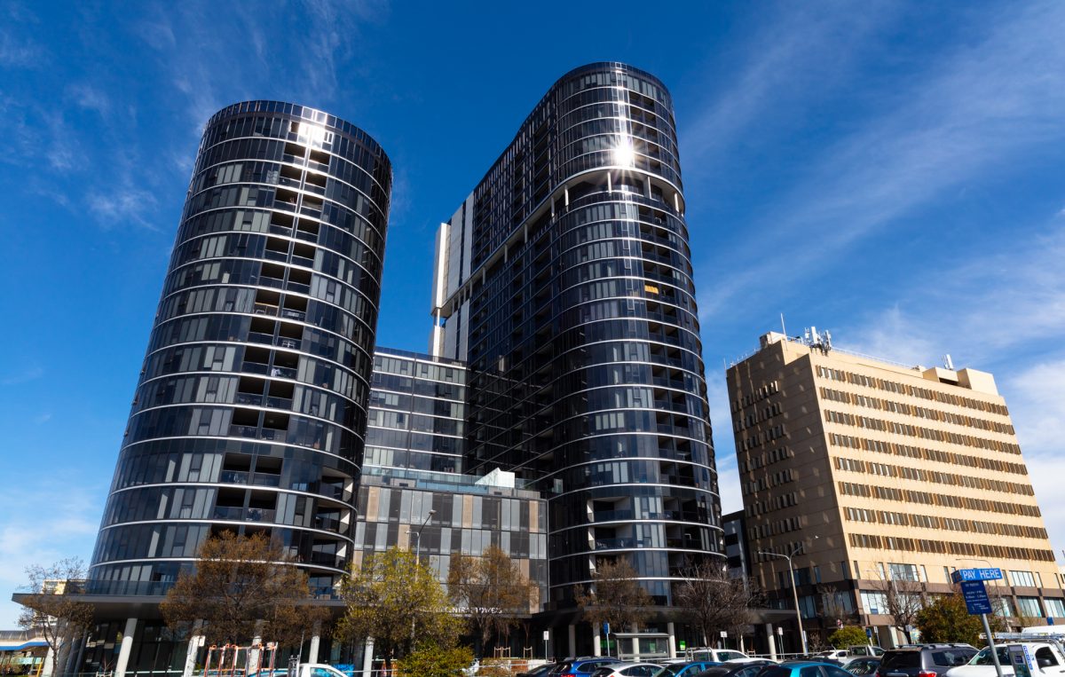
Grand Central Towers in Woden. The Town Centre is being transformed, and light rail is part of that story. Photo: Thomas Lucraft.
It also recommends changes to the planning controls in certain areas to encourage new housing types, business investment and enhance the existing character.
“Outside of some localised environmental constraints, such as recent development activity, threatened environmental communities or species, and ownership patterns, the precincts identified in this report largely present a good opportunity for urban infill,” the study says.
In the Horse Paddocks, the study assumes densities of three to four storeys under the medium scenario, but on land adjacent to Yarra Glen, it sees residential mixed-use development ranging from four to eight storeys.
In Mawson, the study envisages four-storey building heights in the Group Centre and across the precinct, suggesting it would improve the desirability of the precinct and trigger redevelopment.
It proposes medium density and “missing middle” townhouses in adjacent residential areas, particularly on big blocks that are within walking distance of the proposed light rail stop.
The ‘high’ scenario sees buildings up to 10 storeys on two key northern sites near the light rail stop and allows for development of the Athllon Drive land release site at the north of the precinct.
All up, Mawson could hold 1,300 dwellings, 800 more than the current number.
West Deakin is considered a commercial area and the forecast there for new dwellings is negligible.
The rest of the corridor is broken into a northern area (Barton, Forrest, Yarralumla, Deakin), and adjacent suburbs to Phillip and Mawson.
The study says high property values in Barton, Forrest, and Yarralumla pose a barrier to further intensification.
But infill development in Deakin’s residential zones is likely to continue, as in Hughes, Curtin, Lyons, Chifley, Pearce and Torrens, irrespective of light rail.


