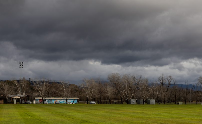
Canberra is being warned to brace for damaging winds as a cold front approaches. Photo: Michelle Kroll.
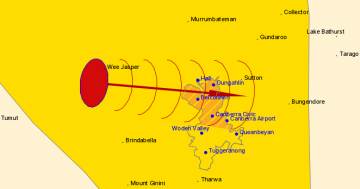
A severe weather warning has been issued for south-east NSW and southern parts of the ACT for damaging winds averaging 60 to 70 km/h with the possibility of peak gusts topping 90 km/h.
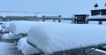
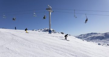
Blizzards are expected for alpine areas above 1600 metres this morning (28 July) while gusts in excess of 125 km/h in the region above 1900 metres are likely from this evening, according to the Bureau of Meteorology (BOM).
Gusts peaking at more than 90km/h have already been recorded in the ACT this morning.
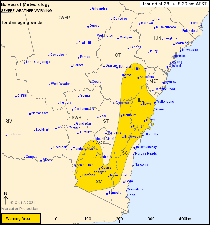
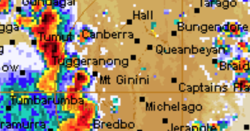
A severe weather warning has been issued by the Bureau of Meteorology. Photo: BOM.
The vigorous northwesterly flow is being generated by an approaching cold front pushing off the south coast today that will reach the capital region by Thursday morning.
Rain is expected to continue today before easing up on Thursday, but the cold front will bring temperatures down to -3 degrees on Friday morning.
Showers are then expected to arrive on Sunday with drizzle forecast through Monday and Tuesday. Sportsgrounds remain closed for training.
NSW National Parks and Wildlife Service has recommended backcountry travel be postponed until conditions improve.