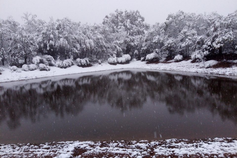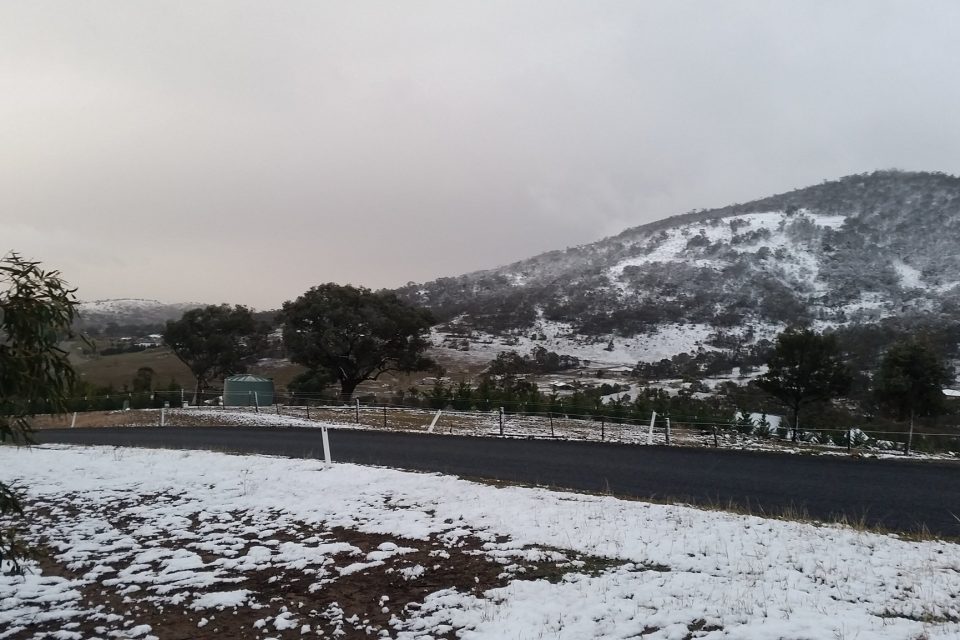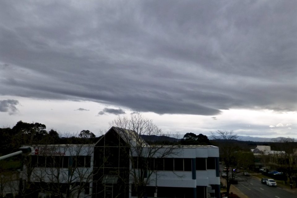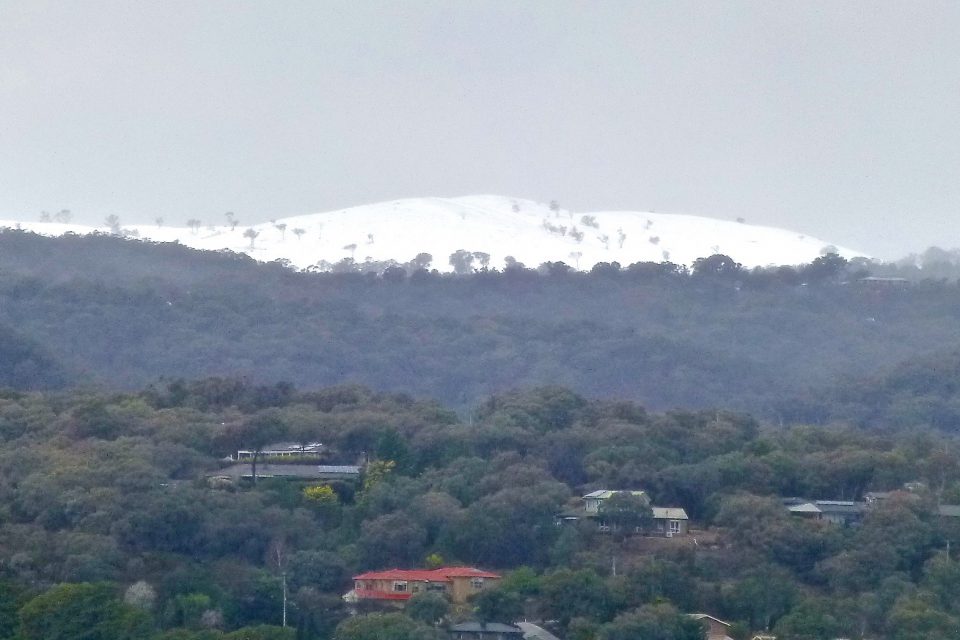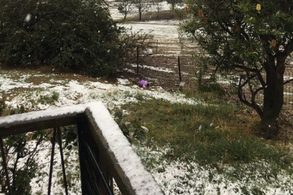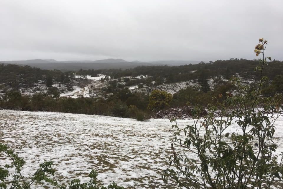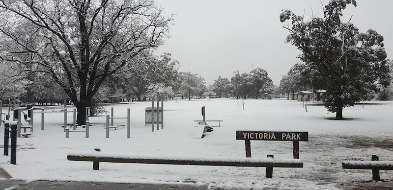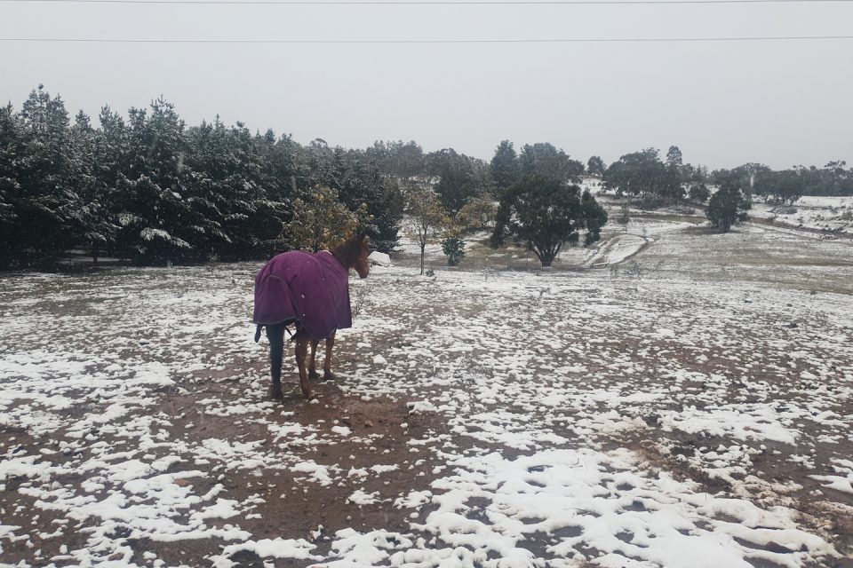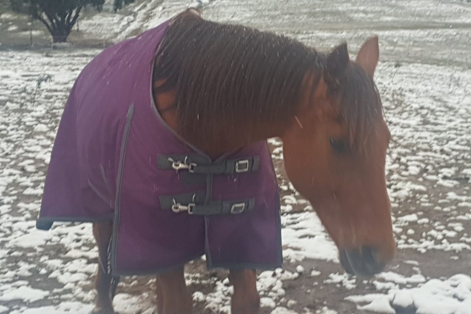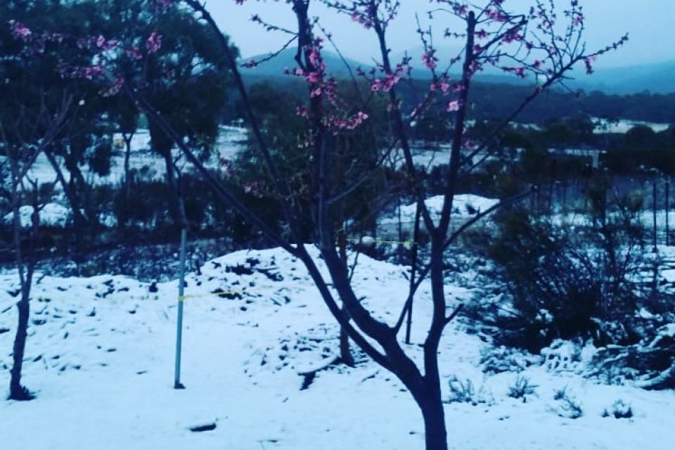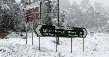
Flowers in bloom flank mountain ranges to the southeast of Queanbeyan, which were covered in snow on Tuesday morning. Photo: Michael Weaver.
The wattle is in full flower, Floriade has opened and last night it snowed heavily throughout the region.
The most significant snowfalls were recorded to the east of Canberra at Captains Flat, Carwoola, Wamboin, Tarago and Googong. Widespread snow also fell between Braidwood and Bungendore.
Further north at Goulburn, the town recorded its heaviest snowfalls in memory. Mayor Bob Kirk said snow could be seen from Gunning to the west and Bungonia to the east. Bungonia received between four and five inches of snow.
Canberrans woke to snow-capped mountains, with the Brindabella ranges receiving their covering of powder. There were also reports of snow in parts of Gungahlin and Tuggeranong.
Closer to the city, snow could be seen at the top of Mount Ainslie and Mount Majura.
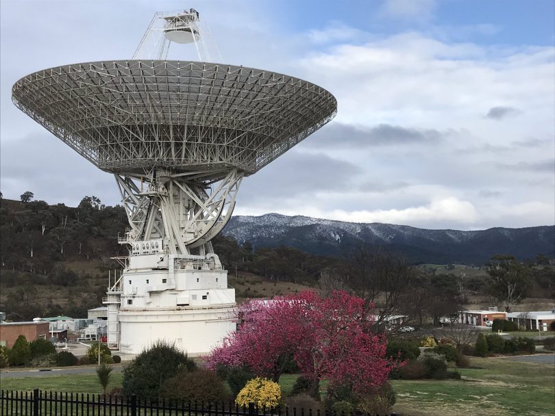
Spring snow at the Canberra Deep Space Communication Complex at Tidbinbilla. Photo: CanberraDSN Twitter page.
The snowfalls also caused lengthy delays on the Hume Highway north of Canberra between Sutton and Goulburn. Traffic authorities warned drivers to allow extra time for travel, with northbound lanes queued for 18 kilometres due to the hazardous conditions.
Importantly, the region also received its first significant falls of rain since March, with 32 mm recorded at Canberra Airport, 27 mm at Gungahlin and 22 mm at Tuggeranong.
Earlier in the day, before the cold snap, Canberra had recorded a top temperature of 24.3 degrees celsius at 1:00 pm.
Veteran meteorologist Clem Davis told Region Media the rapid change in temperature caused the significant snowfalls that followed the rain.
“When the cold front moved through, there was a lot of rain ahead of it. Rain then cools the atmosphere and when the cooler air had formed, it became cold enough for the precipitation to fall as snow,” Mr Davis said.
He said this is why the snow had more of an icy look and feel to it, rather than the flaky snowfalls (dendrite crystals) we sometimes see.
“Ice crystals form in different ways in different temperatures, so with last night’s falls, you will find the snow was a lot crunchier, rather than soft, because there was a higher water content in the snow that fell.
“The snowfalls were more crystalline rather than snowflakes because we had the warm air ahead and the colder air that followed overnight. If that had happened during the day, we probably wouldn’t have gotten the snow that we did.
“Basically, it’s the same way the snow guns work, when they make snow by water vapour being fired into the air and then cooled off by the atmosphere, which is just cold enough for the ice crystals to form.”
Mr Davis said the rainfall was also very welcome, with similar totals in rain gauges across the region.
“We actually now need some good follow-up rain. There’s another front expected towards the end of the week but whether we get the same amount of rain, I’m not sure. Any follow-up rain will be very welcome though,” he said.
Temperatures will return to normal spring programming later this week. We can expect temperatures in the mid-20s on Thursday and Friday.
The rainfall also provided a boost in revenue for Canberra smash repairers, with the usual jump in car crashes coming just as the rain began to fall on Monday afternoon.
The first of eight separate car accidents reported to ACT Emergency Services occurred at Nichols, with further accidents occurring at Forde, Civic, Gordon, Fadden and Deakin. Two car accidents occurred at Gungahlin.
Do you have photos of the snowfalls? Share your photos with the RiotACT by sending your snaps to editor@region.com.au or go to our Facebook page and share them.
