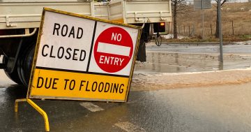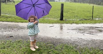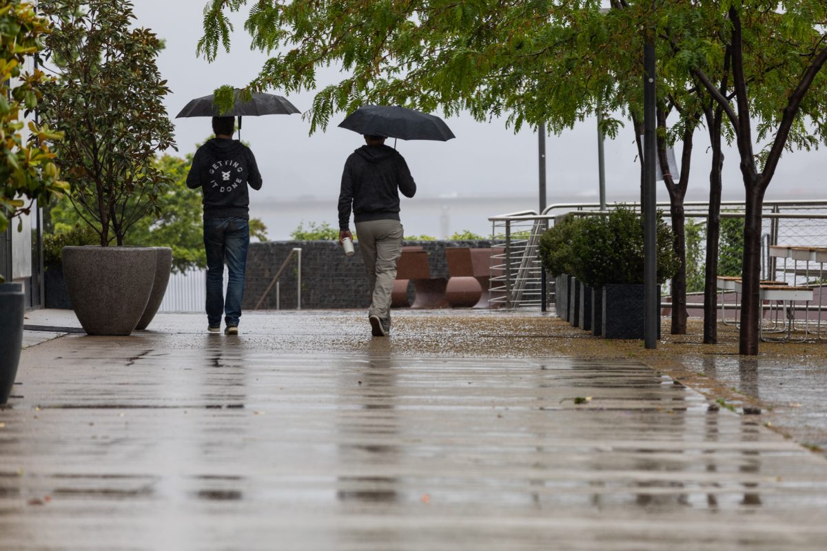
We’re sorry to say our long weekend isn’t looking like it’ll be a sunny one. Photo: Michelle Kroll.
Much of eastern and southern NSW is set to cop “big soaking rain” over the next few days.
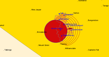
Bureau of Meteorology (BoM) senior meteorologist Dean Narramore told Region the grim forecast was down to a household name: Tropical Cyclone Alfred.
Currently, the BoM expects Alfred to make landfall over south-east Queensland and northern NSW as a category 2 storm early on Saturday (8 March).
Once the system moves on, windy and cloudy conditions are expected to blanket much of southern NSW as the weakened system travels south.
“We’ve got a very large high pressure system in the Tasman Sea, so that’s what’s directing it westwards into south-east Queensland,” Mr Narramore says.
“As that high moves away it then reflects southwards between the fronts moving into South Australia and the high in the Tasman Sea.
“That’s why the low is going to move south [to] inland NSW, bringing the rain and gusty winds to the east of NSW as it does so.”
But when the system crosses over south-east NSW and Canberra, Mr Narramore says it will be “nothing like” the cyclone it started its life as.
“As it moves south over inland NSW, it won’t be a cyclone at all because it has lost its energy source, which is the ocean,” he says.
“It’ll be an ex-tropical cyclone.”
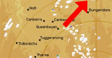
Mr Narramore says coastal NSW is expected to get about 50 to 100 millimetres of rain between Sunday and Tuesday, while areas closer to the ACT are expected to get up to 50 millimetres over the same period.
“Everyone’s going to be affected by that in eastern NSW,” he says.
But while the forecast shows rain, Mr Narramore says conditions currently aren’t expected to become an emergency.
“This is a kind of big soaking rain, really, for many areas,” he says.
“No severe storms are likely, no hail, nothing like that. There’s probably not going to be a riverine flood.
“There could be some minor, isolated flash flooding depending on where the heaviest rains occur.”
Mr Narramore has called on Canberrans driving south to celebrate the long weekend to be careful.
“It’s going to be a wet Sunday afternoon, Sunday night [and] Monday morning, which could make roads slippery and messy,” he says.
“Just make sure you stay up to date with forecasts and if any [weather] warnings are issued.”
It might be unwelcome news for those heading back to work, but the system is expected to clear on Tuesday.
“The rain should be clearing just in time for everyone to go home,” he says.
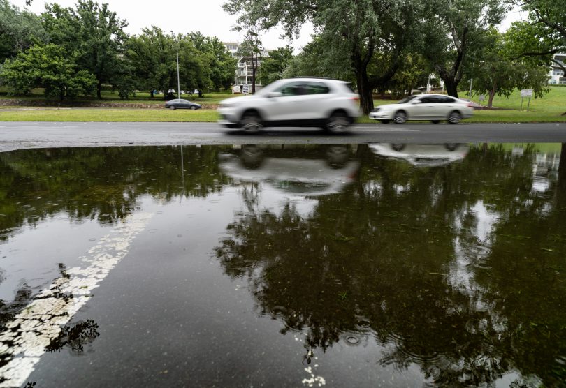
Taking a drive this long weekend? Be careful amid forecast heavy rain. Photo: Michelle Kroll.
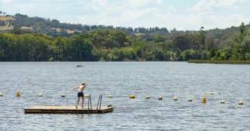
Marine Rescue NSW Superintendent Dan Duemmer said boaters should avoid heading onto the water until conditions clear.
“It is going to be very dangerous on our waterways and it is not worth endangering yourself or others for a day out on the water,” he says.
“The forecast winds and swell will make boating hazardous – don’t risk it.
“Boaters should ensure their vessels are moored securely and anchored safely.
“Be aware that over the coming days and weeks there will be debris and hazards in our waterways – stay cautious.”
Updates on Tropical Cyclone Alfred can be found on the bureau’s website. For emergency help in floods and storms, call the State Emergency Service (NSW and ACT) on 132 500.