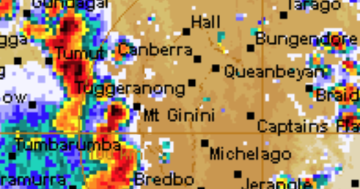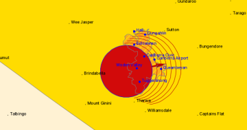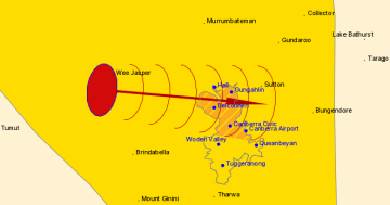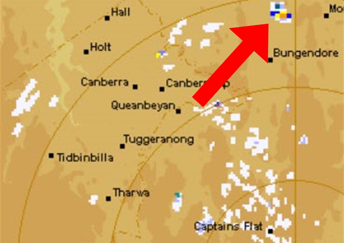
It was a clear day when we took this screenshot. Photo: Screenshot, BOM.
Ever checked Canberra’s weather radar on the Bureau of Meteorology (BOM) website and wondered why there’s always a patch of heavy rain just above Bungendore on the map?
Chances are, residents in the area are actually looking up into a clear blue sky because of a phenomenon known as “false echoes”.
Here’s what’s going on …
But first, where is Canberra’s radar station?
The primary weather radar station for Canberra is based at Captains Flat, a dish mounted to the top of a 22.35-metre cylindrical tower at the summit of Mount Cowangerong, 1381 metres above sea level.
It’s a WSR 74 S Band Doppler type, a US series of ‘Weather Surveillance Radars’ designed in 1974 for the country’s National Weather Service. The last one was decommissioned in 2012, but many of those sold to Australia, Greece and Pakistan are still in use.
There were two types, one ending in C for smaller settings and the other in S, which is less likely to lose its effectiveness in heavy rain.
Canberra’s radar is said to have “a very good view in all directions”, with coverage extending to the South Coast and NSW Tablelands on both sides and the Monaro region close to the Victorian border on the south.
The only place the beam doesn’t scan is right above itself, resulting in what’s called the “cone of silence”. But the rest is not infallible either.
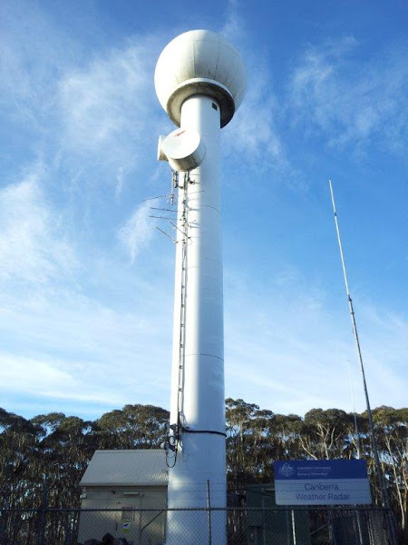
Canberra weather radar station at Captain’s Flat. Photo: LSWCHP, Riotact.
Does the radar cry ‘wolf’?
“Radars may sometimes detect echoes from aircraft, areas of smoke/ash from large fires, swarms of insects, interference sources, flocks of birds or even the ground or sea surface when unusual atmospheric conditions bend the radar beam back down to the surface,” a spokesperson for the BOM says.
Large ground features and buildings can also create “permanent echoes”, normally within about 20 km but further afield in the case of mountain ranges.
“As a result, there may be patterns on the radar images that do not represent falling rain.”
On its website, the BOM notes, “an area of false echoes is sometimes evident about 20 km off the coast between Batemans Bay and Moruya” and extending 80 km out to sea. But it’s easy to pick.
“This anomalous propagation … displays as a mass of low-intensity echoes, constantly changing shape but with no apparent direction of movement. True rain echoes normally have a consistent direction of movement from one scan to the next.”
The further away you get from the radar source, the curvature of the Earth starts to mess with the reading, too.
“Due to the Earth’s curvature, the radar beam becomes higher above the ground the further it travels from the radar. Thus, a weak echo may not mean that it is raining at the ground because … light rain aloft can evaporate completely before reaching the surface.”
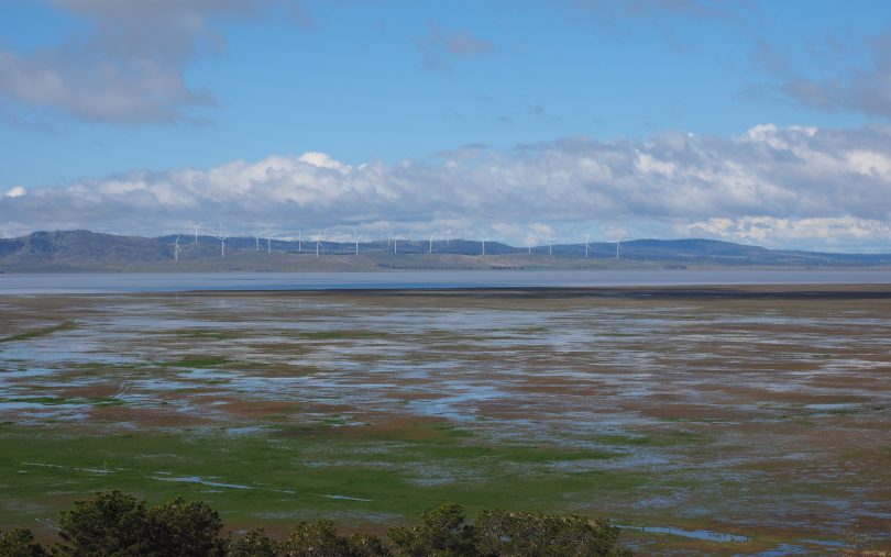
Lake George’s wind turbines are visible from Weereewa Lookout. Photo: Nick-D.
So what’s causing the ‘rain’ near Bungendore?
In the case of the clump of rain above Bungendore, the BOM spokesperson confirms it’s the wind turbines to the east of Lake George.
“Wind farms can affect weather radar network performance … with a range of factors that include terrain, wind farm location, design, size and scheduling of wind farm operation,” the BOM spokesperson says.
“One of the effects … on weather radar performance can be the creation of false radar readings, suggesting rainfall where it does not exist.”
Other stationary echoes are sometimes visible between Goulburn and Gunning, caused by more wind turbines.
However, these false readings aren’t enough to throw off records or forecasts. The BOM assures it uses more than radar to gauge rainfall amounts, “including on-ground rain gauges, satellite images and, in the case of forecasts, weather models”.


