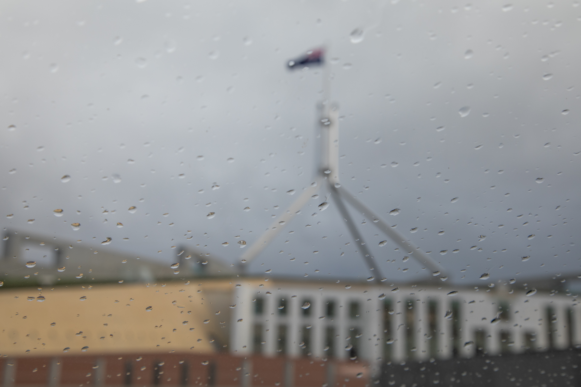
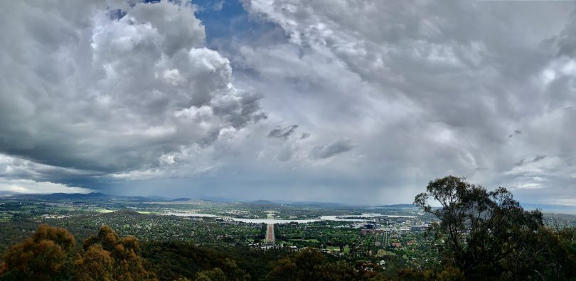
We can expect to see lots more skies like this over Canberra and the region again this weekend. Photo: Michael Weaver.
It may be well into next week before the ACT and the surrounding region sees more than one day of sunny skies, with the Bureau of Meteorology forecasting more rain and storms until at least Tuesday.
While the rain and lack of morning frosts are giving tomatoes growers an early start before the traditional planting time of the first week in November, there is a lot more rain to come with the potential for thunderstorms to become severe super-cells, possibly bringing damaging winds, large hail and heavy rain.
Warnings will be issued by the BOM as storms develop.
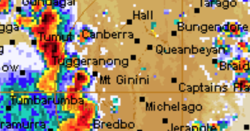
Thunderstorms are possible across the ACT and southern and eastern NSW today (30 October), while on Saturday, more than 60 mm of rain is forecast to fall as temperatures also drop below 15 degrees Celsius. Saturday will also see heavy rainfall and thunderstorms in the morning and afternoon.
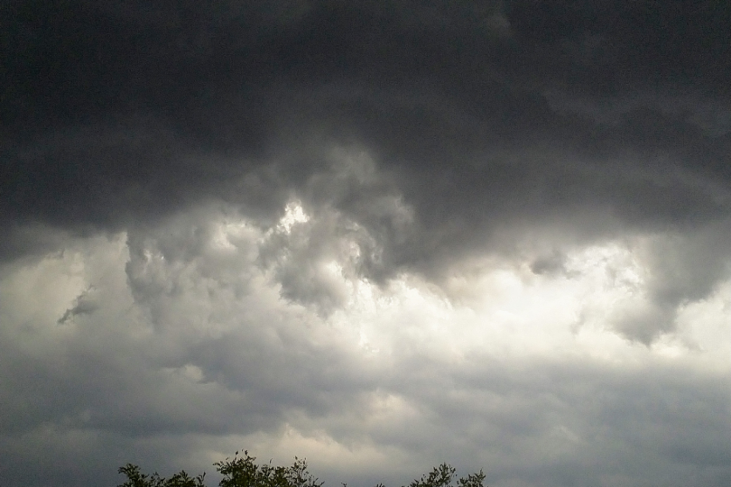
Spectacular storm clouds approaching Canberra on Thursday (29 October). Photo: Canberra Pollen Twitter.
Bureau forecaster Abrar Shabren said the run of rainfall is being caused by several troughs passing through inland NSW and across the ACT.
“There are lots of storms and showers passing through the ACT and surrounds this week and into the weekend due to a series of cold fronts and trough systems.
“We may see some sunny skies on Monday and Tuesday next week, but it will still be unsettled,” Mr Shabren said.
“From Wednesday (4 November), more showers are forecast but beyond that, it is difficult to say when we may next see sunny skies in the area.”
Looking like a wet in and around the #ACT this weekend. Probably start to see a little #rain activity tomorrow, but at this stage Saturday is looking like a wet one for #Canberra https://t.co/n771XQvgib
@ACT_ESA pic.twitter.com/1nya2FOyep— Bureau of Meteorology Australian Capital Territory (@BOM_ACT) October 29, 2020
Temperatures will also vary before warming again on Tuesday with a forecast maximum temperature of 26 in the ACT.
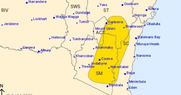
Widespread rain and thunderstorms are also forecast for the surrounding areas, including the Snowy Mountains, Goulburn, Braidwood and the NSW South Coast areas.
Mr Shabren said heavy rainfalls can be expected in all those areas.
“A transient coastal low-pressure system will deepen on Friday, somewhere between the central and south coast of NSW. That will trigger moderate to heavy rainfalls in various parts of the south coast including the ACT during the weekend before it begins to clear late Monday,” he said.
“There has certainly been lots of rain around lately and it’s welcome rain for many farmers, but we all still need to be aware of the potential for heavy rain and thunderstorms again.”