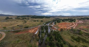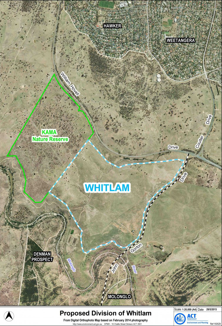
The first releases in Whitlam are scheduled for 2018-19.
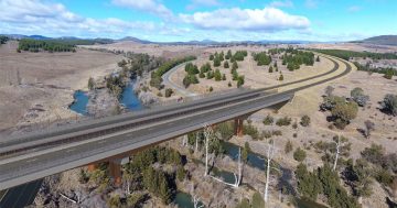
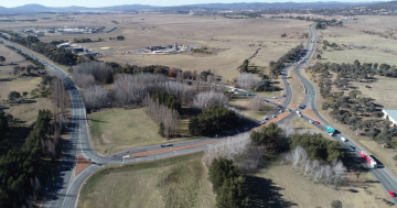
Work has begun on infrastructure to accommodate future land releases in the Molonglo Valley, with the duplication of a section of Coppins Crossing Road under way.
The $33 million project is the first stage of infrastructure for Molonglo Stage 3 and also includes a new 600mm water main.
Nine hundred metres of the Coppins Crossing Road south from William Hovell Drive towards the Molonglo Valley will be duplicated.
Minister for Transport and City Services Meegan Fitzharris said the newly duplicated section of road would be renamed to become the northern end of John Gorton Drive.
“Molonglo Valley is a key growth area for the ACT and the Government is building infrastructure now to ensure the necessary roads and services are in place to accommodate the thousands of people who will call this region home,” Ms Fitzharris said.
“Coombs and Wright, while already well established, are still growing, with their final stages set for release in the coming years. Likewise Denman Prospect will also be adding further stages in the near future and the first releases in Whitlam are scheduled for 2018-19.”
The road works will also include an upgrade to the intersection with William Hovell Drive.
The Minister said the Government was also investigating procurement and delivery options for the remaining section of John Gorton Drive, including a bridge across the Molonglo River.
This final section of transport infrastructure will complete the north-south arterial road network in the Molonglo Valley.
“Along with the duplication of Cotter Road, which is well under way, this work goes a long way to providing current and future residents of Molonglo with dual carriageway road from William Hovell Drive through to Adelaide Avenue,” Ms Fitzharris said.
Photo: The first releases in Whitlam are scheduled for 2018-19.