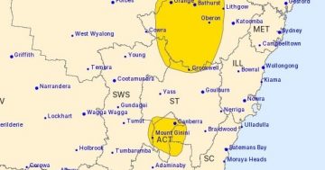
The Bureau of Meteorology is heralding the end of the world or at least a really serious storm.
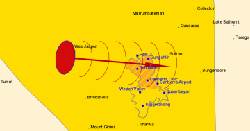
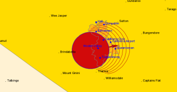
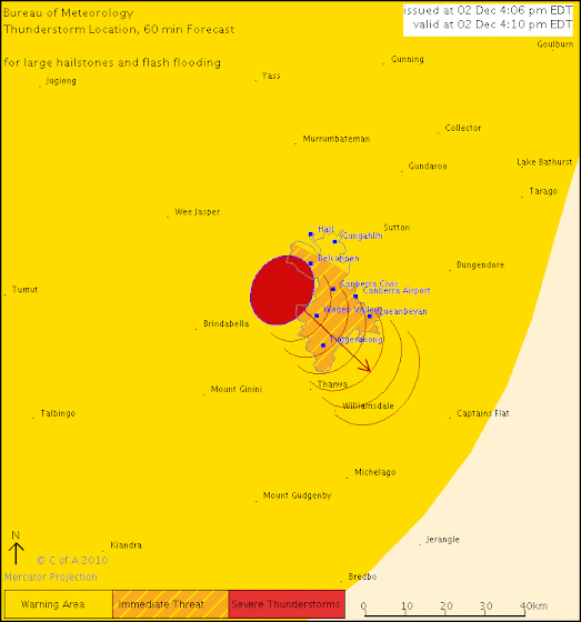
The Bureau of Meteorology warns that, at 4:10 pm, severe thunderstorms were detected on weather radar near Belconnen, Weston Creek, Coppins Crossing and Casuarina Sands.
These thunderstorms are moving towards the southeast.They are forecast to affect Canberra Civic, Queanbeyan, Tuggeranong, Canberra Airport, South Canberra and Woden Valley by 4:40 pm and Tharwa, Williamsdale, Royalla and Googong Dam by 5:10 pm.
Large hailstones, very heavy rainfall and flash flooding are likely.
The State Emergency Service advises that people should:
* Move your car under cover.
* Keep clear of creeks and storm drains.
* Don’t walk, ride your bike or drive through flood water.
* Unplug computers and appliances.
* Avoid using the phone during the storm.
* Stay indoors away from windows, and keep children and pets indoors as well.
* For emergency help in floods and storms, ring the SES (NSW and ACT) on 132 500.The next warning is due to be issued by 5:10 pm.
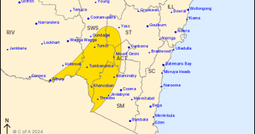
A more general severe thunderstorm warning is also current for the Southern Tablelands, Central West Slopes and Plains, South West Slopes, Riverina, Australian Capital Territory and parts of the Central Tablelands, Lower Western, Upper Western and Snowy Mountains districts.
Warnings are also available through TV and Radio broadcasts, the Bureau’s website at www.bom.gov.au or call 1300 659 218. The Bureau and State Emergency Service would appreciate warnings being broadcast regularly.
And if you get any interesting photos don’t forget to send them in to images@the-riotact.com
UPDATE: James has sent in this picture of the clouds building up over Civic. Keep them coming!
FURTHER UPDATE: It’s a rare and violent day that has black in the loop:
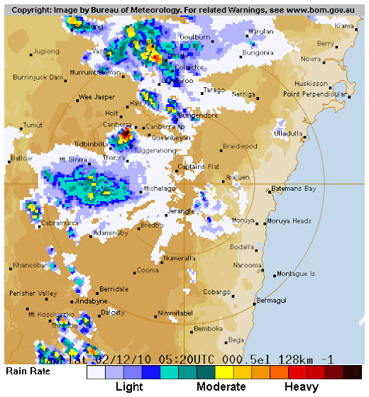
ANOTHER UPDATE: Storm warning now cancelled. Just regular storm activity now.
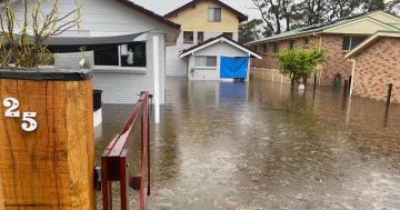
Sullivans Creen bursts its banks!:
Weston Hailstorm: This in from Ayrton…
(slideshow below, keep the pics coming)


