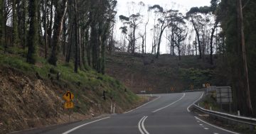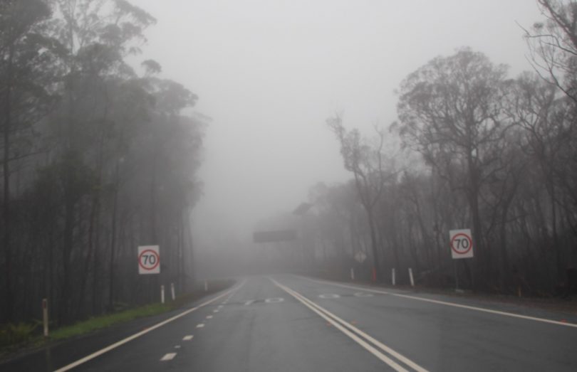
Electronic message board on the Kings Highway at the top of Clyde Mountain. Photo Alex Rea.
As vacationers head off to the NSW South Coast these school holidays, they may be struck by the extent of bushfire damage across huge expanses of Clyde Mountain.
The Kings Highway was closed for weeks during the past summer when the Clyde Mountain and Currowan bushfires were raging, and in their aftermath. While there has been some epicormic growth in areas closer to the road, an aerial view of the forest shows vast areas which are not returning so fast.
With so much of the forest stripped bare, it is interesting to notice the gullies, rock shelves, houses and tracks that have been revealed. It is amazing to see some of the houses that survived.
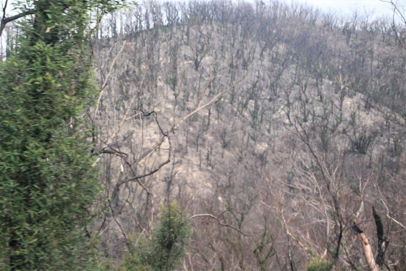
Six months after bushfire ripped through Clyde Mountain, some of the forest is slowly returning. Photo: Alex Rea.
NSW Roads and Maritime Services and Eurobodalla Shire Council have spent months cleaning up the highway with tree removal, road resurfacing and sign replacement.
As a regular commuter on Kings Highway, I have often pondered the existence of three large cantilevered electronic message boards from the top to the bottom of Clyde Mountain.
Drivers on the mountain would have observed that these signs almost never worked. Fitted with solar panels and wind turbine, in foggy weather, when they were really needed, they were blank.
More than 10 years ago, I first wrote about these non-functioning signs that cost $200,000 each. Part of their problem was that they were out of telecommunications range.
Amazingly, the signs appeared completely untouched by the bushfires. And now they are gone.
A spokesperson for Transport for NSW said the department “removed three electronic message signs from the Kings Highway between Batemans Bay and Queanbeyan from Monday, 1 June to Friday, 5 June. These signs will be redeployed to other locations on the southern region road network. Three smaller solar powered vehicle activation signs will replace the removed signs. These signs are more energy efficient and will ensure consistent road safety messaging for motorists.”
Ironically, they have been dismantled just as Clyde Mountain is finally about to get a telecommunications tower.
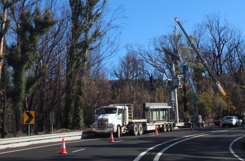
An electronic messaging sign being dismantled on Clyde Mountain. Photo. Alex Rea.
This dangerous section of Kings Highway is soon to get a mobile base station, which was funded as part of round three of the Federal Government’s Mobile Black Spot Program. In its 2018 list of priority locations for mobile coverage upgrades, Clyde Mountain was listed at number five out of 125 black spots.
Submissions to the current Royal Commission into National Natural Disaster Arrangements has identified communications as a significant problem. The Clyde Mountain section of the Kings Highway is in the Electorate of Gilmore.
The Clyde Mountain base station is currently in the design, planning and approvals phase. A spokesperson for the Department of Infrastructure, Transport, Regional Development and Communications said, “Construction of the base station has experienced delays to date due to Telstra being unable to obtain property and planning approvals at a suitable site.
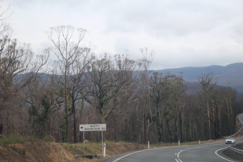
Kings Highway cuts through Clyde Mountain, which is slowly recovering from the past summer’s bushfires. Photo: Alex Rea.
“The nature of the topography, terrain and location within the surrounding national parks creates a number of complexities in building telecommunications infrastructure in the area.
“A site has now been identified, however the recent 2019-2020 bushfires further delayed access to the area in order to finalise the design and seek state and local government planning approvals before construction can commence.
“The base station is currently forecast for completion by end Q4 [quarter four] 2020, subject to Telstra obtaining ready access to the site and the required planning approvals.”
Original Article published by Alex Rea on About Regional.


