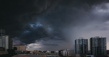
Storm Clouds, windy weather, wet weather, rain over Parliament House. Photo: Michelle Kroll.
We all knew it was on its way. Less than a month into spring, and sure enough, there’s a cold snap coming to Canberra, potentially bringing snow, hail and damaging winds with it.
Residents of the ACT and parts of NSW are being warned to expect gusty and potentially damaging weather conditions, including possible hail and snow, building from today (20 September) and through tomorrow before abating by Wednesday.
BOM Senior Meteorologist Jackson Browne says that a cold front started making its way across southeast Australia from the Snowy Mountains over the weekend.
“There’s quite a bit of cold mass behind that system so we’re going to see snow levels drop from 1,000 to around 600 metres above sea level in parts of NSW,” Mr Browne said.
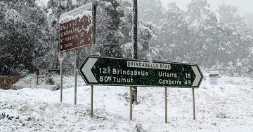
“It will be a bit of a mixed bag across the state. While it will be cold across most of the state, the showers that are providing the snow are small in nature, and not all locations will see snow. It’s possible that we may see snow in Goulburn, parts of the Central Tablelands, and parts of the hills of Canberra.”
This afternoon’s blustery wet weather won’t be the end of it, though.
The rain will ease off by around 9:00 pm, but Canberrans should expect a frost tonight as temperatures drop to -1 degrees Celsius. Tuesday will be partly cloudy with a maximum thermometer reading of 14 degrees with a 20 per cent chance of a shower or thunderstorm in the morning with possible small hail. Winds will reach speeds of up to 30 km/h during the early afternoon.
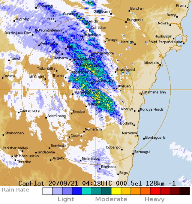
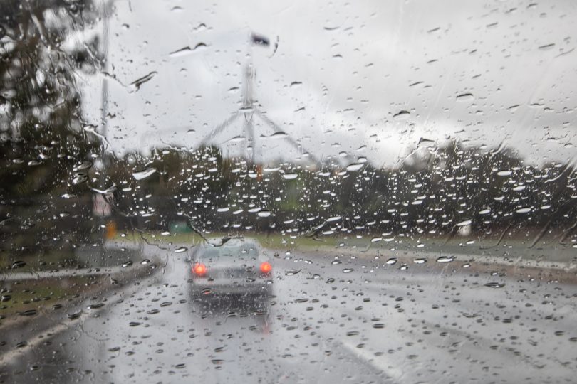
Rain moving in on Canberra this afternoon. Image: BOM.
Wednesday will start equally frosty with a low of -2 C before, rising to 17 over the day.
It will be a rapid affair, with the front running out of puff over north-eastern NSW by Wednesday. With the subsequent warm air mass, snow levels and temperatures will return to the normal spring levels we were just beginning to get used to. Thursday is predicted to reach a high of 20 C.
The BOM initially issued a severe weather warning for the ACT today (20 September) before cancelling it earlier this afternoon as the winds appeared to ease slightly. The situation will continue to be monitored and further warnings will be issued if necessary.
Elsewhere in Australia, the cool change will bring a significant drop in temperatures of up to 10 degrees in some places, with snow being dropped all the way up to the Queensland border. Hazardous surf conditions are expected over much of the coast, with a large south to south-easterly swell developing during Tuesday.
Snow and ice may lead to dangerous conditions on the roads, and people are being urged to drive to conditions.
With the recent rain and much of it still soaking the ground, the risk of damage from falling trees is increased. The ACT Emergency Services Agency is reminding Canberrans to do what they can to prepare for a storm.
Move your car under cover or away from trees, secure or put away loose items around your house, yard and balcony, keep at least eight metres away from fallen power lines or objects that may be energised, such as fences, and stay indoors away from windows.
For emergency help during floods and storms, call the ACT State Emergency Service on 132 500.