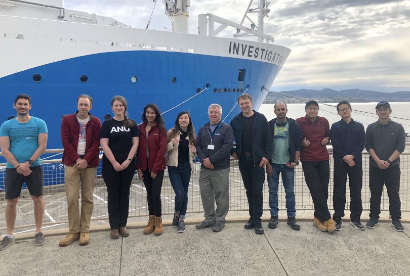
The research team of nine researchers from ANU and two from the University of Tasmania, with Dr Caroline Eakin (3rd from left), chief investigator from UTAS Prof Mike Coffin (6th from left) and next to him is Prof Hrvoje Tkalcic. Photo: Supplied.
An ANU research team is thankfully and safely back on terra firma after a precarious mission to Macquarie Island in the Southern Ocean to drop seismometers on the seafloor.
The groundbreaking trip, which involved facing huge seas and wind gusts of up to 100 km/h, was the first step in gathering information about some of Earth’s most violent underwater earthquakes.
“Going to sleep after we returned certainly made it feel like we were still on the ship – I’m very glad to be back on solid ground,” the research team’s chief scientist, Professor Hrvoje Tkalcic told Region Media.
The team of 11 also included nine researchers from the ANU, plus chief investigator from the University of Tasmania Mike Coffin, ANU researcher Dr Caroline Eakin, who with Professor Tkalcic, said the Southern Ocean’s ‘furious fifties’ latitude, renowned for extreme seas and weather, lived true to its reputation.
“From the moment we left Hobart, the violent movements of the ocean really had an impact on the entire crew and it took us several days to get our sea legs,” he said.

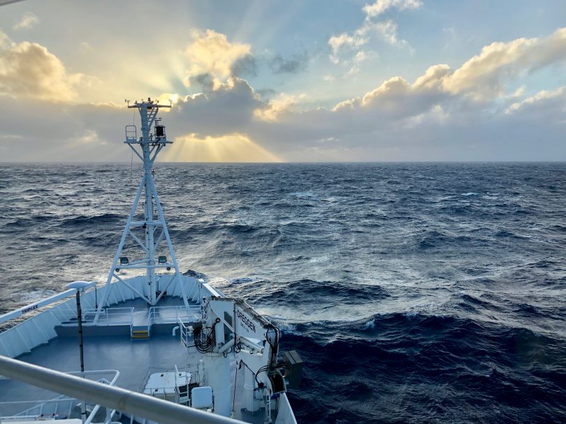
The RV Investigator heads into a heavy swell on the way to Macquarie Island. Photo: Hrvoje Tkalcic.
On the CSIRO research vessel RV Investigator, the researchers successfully deployed 27 of 29 seismometers on the uncharted seafloor at Macquarie Ridge, roughly between New Zealand and Antarctica.
The creation of seafloor maps helped identify faults, fracture zones and seafloor spreading centres that shed light on how and why Macquarie Island, which formed around 2500 metres below sea level, was thrust above sea level.
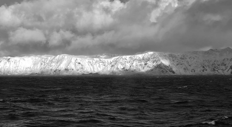
While unable to disembark on Macquarie Island, the team did witness penguins frolicking on the snow-covered island.

A snow-covered Macquarie Island. Photo: Hrvoje Tkalcic.
“They don’t call it the furious fifties for nothing,” Professor Tkalcic said of the four weeks at sea in swells of between six and eight metres and winds that averaged between 60 and 80 km/h.”
They lost about eights days while in a holding pattern due to rough weather. It was also the first time on such a big research vessel for most of the crew.
“Once we arrived, the Antarctic currents made it very difficult to drop the seismometers as they would drift away from the target areas. The lateral drift was significant.
“Most of the slopes on the ocean floor were so steep and our instruments were going 5000-6000 metres underwater.”
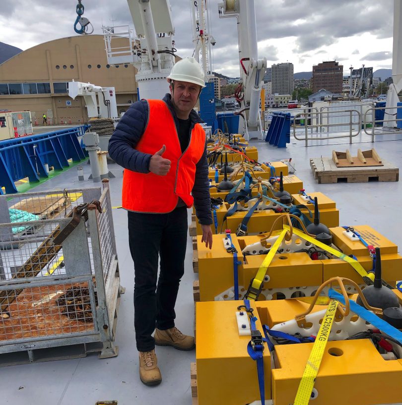
Each seismometer is worth about $150,000 and one was lost on a stormy night at sea.
“We were hunting for that instrument in the middle of the night in furious seas but we were able to recover it eventually. It gave us a good idea of what to expect about one year from now when we go back to recover all of the instruments from the seafloor,” Professor Tkalcic said.

Professor Tkalcic and the rather expensive seismometers. Photo: Supplied.
Croatian-born scientist Professor Tkalcic said the monitoring equipment will provide vital information about future earthquakes and tsunamis that might affect coastal populations in Australia and New Zealand. Scientists will also gather information about how the atmosphere interacts with the ocean by measuring the Earth’s noise.
“We definitely saw that noise was a lot quieter than expected because of the shutdown due to coronavirus,” Professor Tkalcic said.
“Over the next 12 months, our equipment will record that noise, so any activity, including whale migrations and storms, will be significant.”
However, the data won’t be known until the team returns next year.
“We were also able to chart some of the areas which had never been charted before, so we will know exactly where our instruments are when we go back to recover them.
“We might push the trip back into December next year though, as we’re hoping the weather will be a little kinder to us.”


