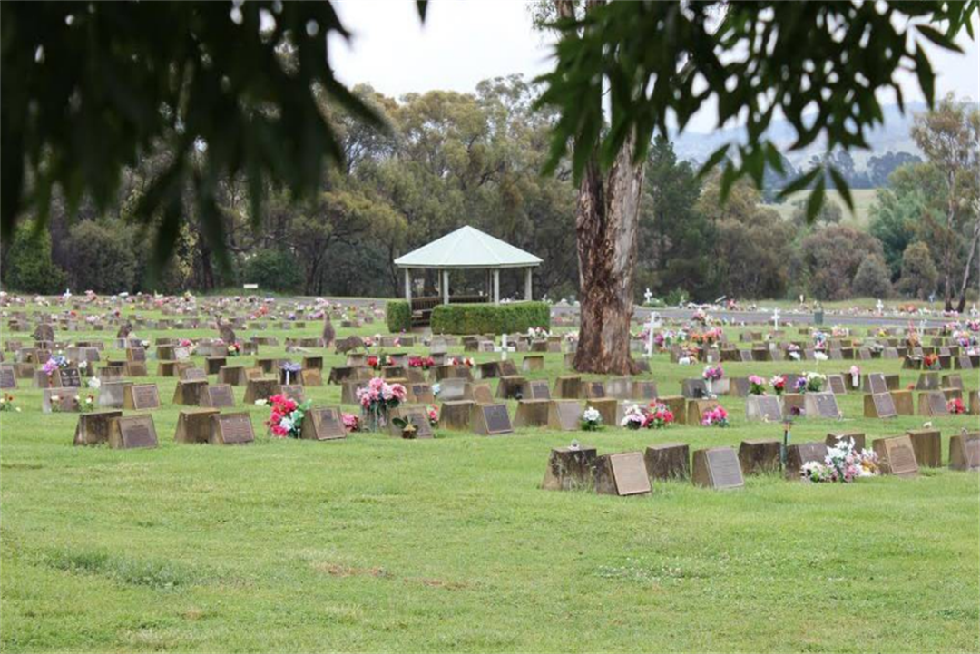
Queanbeyan Cemetery is already running out of room, so they’re turning to drones to help. Photo: QPRC.
The most modern of technology, drones, are being used to record some of the oldest parts of our regional communities – cemeteries.
Under the Cemetery Mapping Project, initiated by Queanbeyan-Palerang Regional Council (QPRC), drones have been deployed to fly over its rural and regional cemeteries, including the lawn cemetery and memorial gardens in the Queanbeyan township, Braidwood, Bungendore, Majors Creek, Mongarlowe, Nerriga, Araluen and Emu Creek/Gundillion.
With an increasing population and limited space, a QPRC spokesperson said the project was designed to identify and record the number of graves in the cemeteries with drones identified as an efficient way to record high-resolution images of large areas quickly.
The spokesperson said, “this mapping project will help us to ensure that we have used all available space in existing cemeteries”.
Depending on the size of drone used, different sensors can be used, like ground-penetrating radar, which can show different levels of soil compaction and composition, and possibly pick up geometric shapes like graves. Other sensors can pick up different kinds of vegetation, including some that can pick up the timber of coffins.
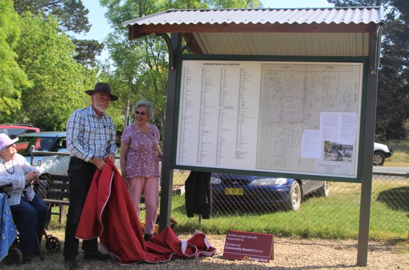
After 10 years of research, Margaret Royds OAM, with Peter Smith from the local historical society, identified headstones at the Braidwood cemetery. This photo was taken in 2019 when the grave identification map was revealed. Photo: Alex Rea.
The largest site in the council region, Queanbeyan General Cemetery, is already nearing capacity. This is based on the council’s estimate that it, typically, undertakes about 200 new burials and 50 cremations a year.
“In March 2023, we placed a moratorium on the sale of prepurchase right of interments to ensure that local residents who need burial options are prioritised,” the spokesperson said.
“We have begun the process of establishing a new Memorial Park to ensure that we can service the future needs of Googong, Tralee, Queanbeyan, Jerrabomberra and the surrounding population.”
Braidwood General Cemetery is expected to reach capacity in the next five to seven years while Bungendore will need more space within the next 10 or so years.
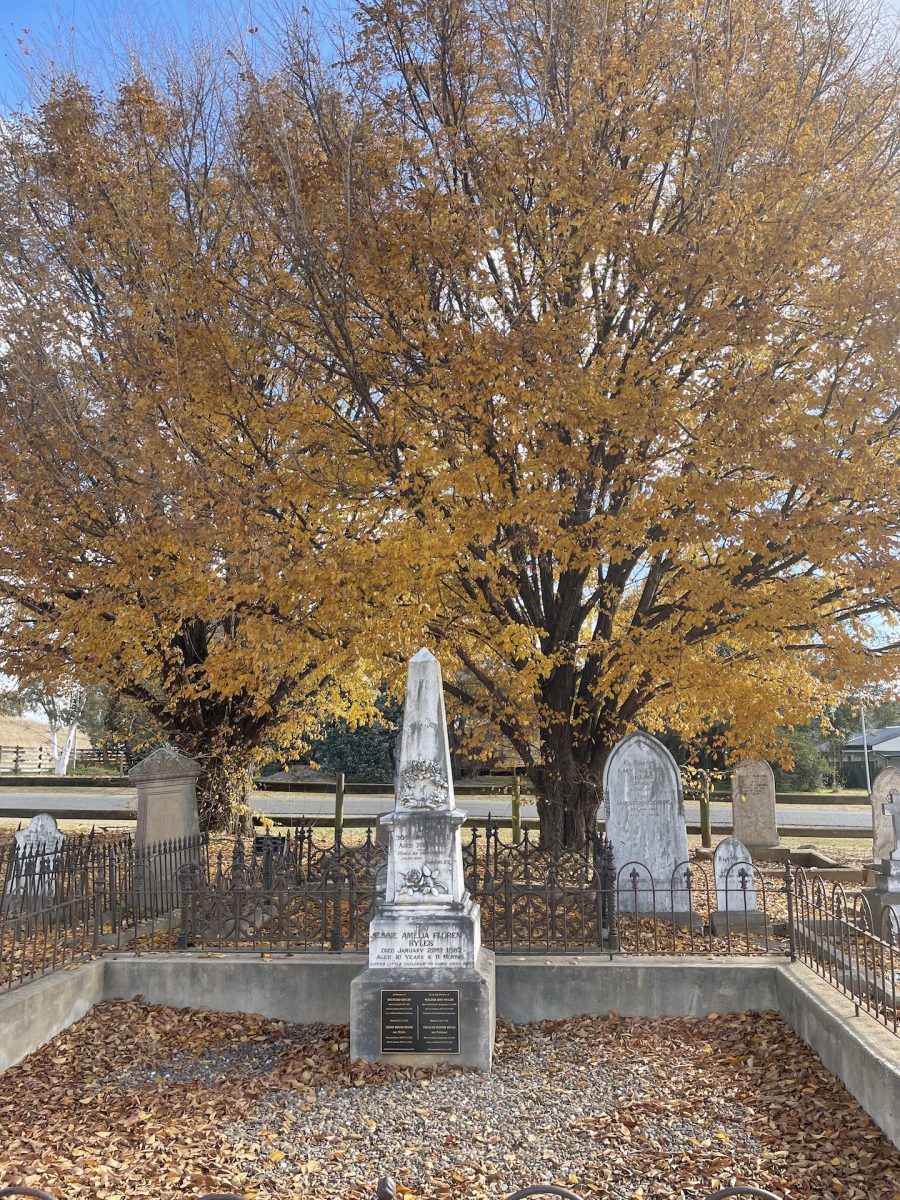
Bungendore cemetery, one of the oldest in the region, has gravestones dating back to 1838. Although 742 of the graves have names on them, 609 are unmarked. Photo: Sally Hopman.
The spokesperson said the QPRC’s job had been made easier by community groups like the one led by Margaret Royds OAM in Braidwood and her group of volunteers who researched, mapped and restored the cemetery, one of the region’s oldest.
In a project that took more than 10 years, and was completed in 2019, Mrs Royds and the historical cemetery committee walked the site and gave each grave and each row a number and made a map with help from a local graphic designer.
The Braidwood Community Bank sponsored the Braidwood cemetery headstone repairs with a $5350 grant, and a new noticeboard with the map was erected.
Established in 1840, the Braidwood cemetery still services some members of the community with long-standing rights of burials or with family plots.
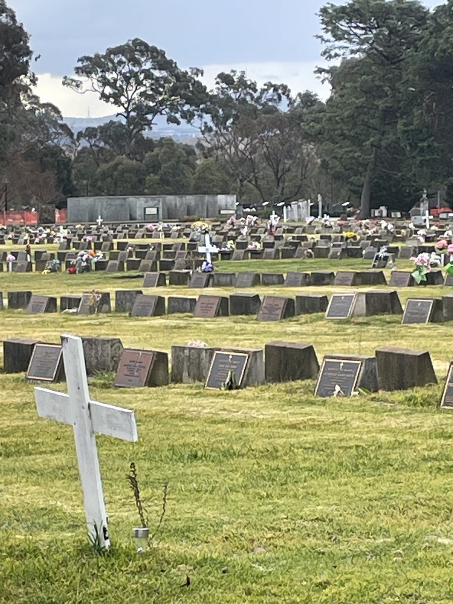
Queanbeyan cemetery is already nearing full capacity so drones will be used to track and record where the graves are located. Photo: Sally Hopman.
Riverside cemetery in Queanbyean was also established in 1840 to service the early township. It suffered severe damage in the 1974 flood with up to 100 gravesites affected after the river receded. Those remaining were reinterred and a memorial erected in honour of those graves identified. Riverside is now a closed cemetery to new plots, only occasionally providing for second interments for existing right of burial owners.
“The Cemetery Mapping Project will ensure that we can match data with our existing records and eventually establish a comprehensive database with digital mapping and searchability,” the QPRC spokesperson said.
Original Article published by Sally Hopman on About Regional.


