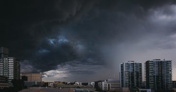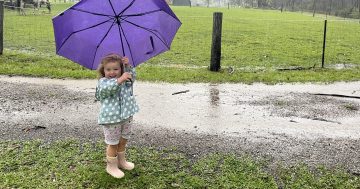
Rain is on its way to the Canberra region, with the biggest falls on Tuesday and Wednesday. Photo: File.
The ACT region can expect to see the first decent falls of rain and possibly even snow later today (3 May), and at least into Tuesday and Wednesday, as a rain band brings a significant change to the run of blue-sky autumn days of late.
A frontal system will move in from the south, dropping temperatures back into the teens and bringing widespread falls across the region.
After one of the wettest Marches on record, when more than 110 mm of rain fell over 13 days at Canberra Airport, April has been almost rain-free, with just 1.4 mm recorded over two days.
It was also the third-driest April on record, after 1997 when 0.8 mm of rain fell, and 1.0 mm in 1980.
The frontal system moving across NSW and the ACT is also expected to hang around for much of the week. The majority of rain is expected to fall on Tuesday and Wednesday (4 and 5 May).
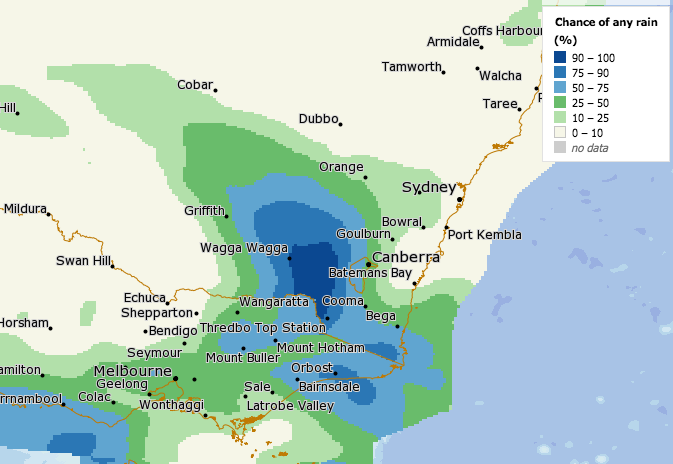
Image showing expected rainfall over the region from Monday night. Image: Bureau of Meteorology MetEye.
Canberra should see the first showers late on Monday afternoon and into the evening; however, the heaviest falls will be in the ranges as the weather system slips to the south.
The Batemans Bay area could see up to 60 mm of rain on Wednesday (5 May) as a low-pressure system develops off the NSW coast.
Temperatures will drop by at least five degrees in Canberra, while snow is predicted to fall in the Snowy Mountains.
Bureau of Meteorology meteorologist Helen Kirkup said the frontal system is being driven by an upper-level airmass that is fairly difficult to forecast.
“These upper-level systems are notoriously hard to predict because the airmass is anywhere from 5000 to 10,000 feet above ground level,” Ms Kirkup said.
“It usually means there will be lots of rain as it’s a decent frontal system coming through.
“The rain should begin overnight on Monday. Then we should see up to 15 mm of rain on Tuesday and another 10 mm on Wednesday.
“But the main focus of the rain will be on Tuesday, and we could see some thunderstorms in there as well.”
The Bureau expects the rain will hang around until at least Thursday (6 May).
Similar conditions are expected to the south near Cooma and north to Goulburn.
Ms Kirkup said there is a chance of snowfall, driven by a southerly airflow from the Snowy Mountains.
“We won’t know for sure if it will snow until the system approaches, but there are a few elements in it that are worth watching for possible snowfalls,” Ms Kirkup said.
The Bureau forecasts snow falling above 1700 metres at Perisher and Thredbo on Tuesday (4 May) and above 1900 metres on Wednesday.