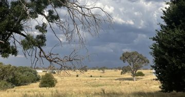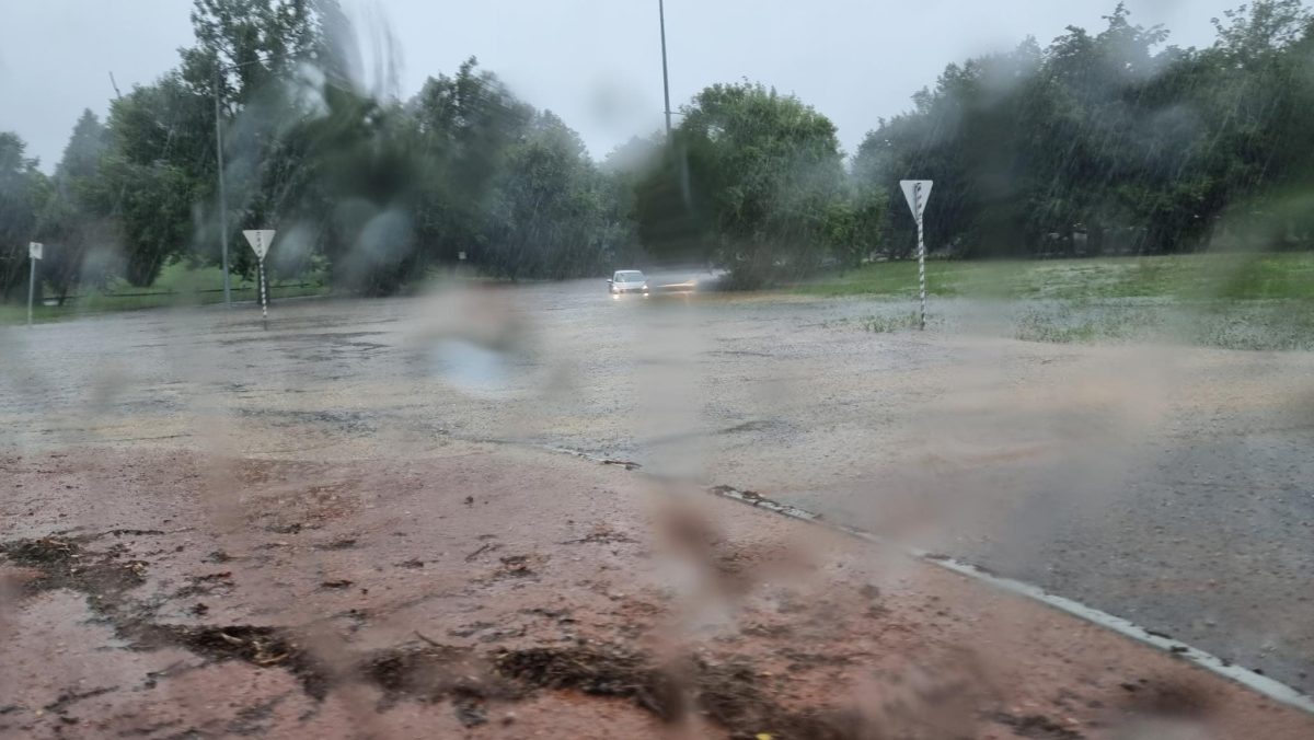
The area around Lake Burley Griffin was pummelled with 70 mm of rain in the space of two hours. Photo: Louise Richter.
There’s a 95 per cent chance Canberra will cop between 15 and 35 mm of rain today (17 January), with the chance of a severe thunderstorm – as if Saturday’s deluge wasn’t enough.
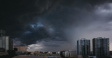
The government’s clean-up crews will be working to tidy up the aftermath of the weekend’s thunderstorm for weeks after it rolled in around 3:30 pm on 13 January and dumped an average of 50 mm of rain over Canberra in less than two hours.
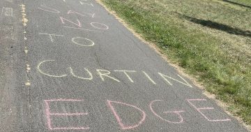
The weather station at Lake Burley Griffin recorded 70 mm of rain, the one in Curtin 54 mm, Queanbeyan 50 mm, Tuggeranong 48 mm and Canberra Airport 29.6 mm. Others reported figures over 90 mm in their private rain gauges.
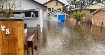
Lakes overflowed and stormwater channels became surging torrents. Houses, roads and intersections flooded. Trees fell. A car on Parkes Way was overturned. Others were left stranded in water up to their headlights. Lightning took out the Tuggeranong Hill Telecommunications Tower and set a gas pipe in Kaleen on fire. Emergency services received more than 212 calls for help.
But how do these scenes compare to those from 26 January 1971, when a similar thunderstorm rolled in across Canberra’s south-east?
The Australian Government’s ‘Disaster Resilience Knowledge Hub’ reports rainfall started at about 7:30 pm on the fateful day, and “up to 100 millimetres was recorded in our hour by private rain gauges in the suburbs of Farrer and Torrens”.
“Rainwater filled the creek running beside the Woden Valley freeway. As debris blocked the valley, the backup of water sent a flash flood onto the freeway. Two hundred metres wide and one-and-a-half metres deep, the torrent engulfed over a dozen cars.”
Seven people died after they were washed away from three vehicles trapped in the rising waters, all of them under 20 years old. A further 15 people were injured.
In the aftermath, the Bureau of Meteorology (BOM) estimated the total damage at $9 million.
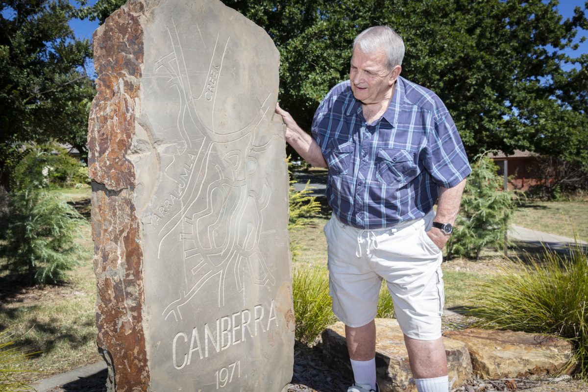
Retired policeman Blen McInnes helped pull people from the floodwaters in 1971. Photo: Thomas Lucraft.
Much of this went towards lining more of Yarralumla Creek with concrete and bolstering the banks. Crucially, the low-level intersection between Melrose Drive, Yamba Drive and Yarra Glen was replaced with today’s sprawling elevated roundabout interchange.
For this reason, Saturday’s deluge was never going to be a repeat. But how far off was the level of water?
“The 1971 flood was a long time ago now, and it occurred only about five years after the first houses were built in Curtin, so there are few original inhabitants left,” Curtin Residents Association secretary Chris Johnson says.
“But Saturday was bloody wet.”
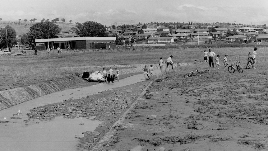
The day after the Woden flood, January 1971. Photo: Archives ACT.
Yarralumla Creek is one of the areas noted on the ACT Government’s flood maps with a “one-in-100-year” risk of extreme flooding. However, in the past 10 years alone, it has burst its banks four times – in 2005, 2007, 2011 and 2014 – all with little warning. In October 2022, the torrent even tore out 60 metres of the channel’s concrete lining, leaving mud and rubble in its wake.
So, what’s going on? Those occasions aside, it’s still ‘only’ been 52 years since the 1971 flood.
The BOM says the so-called “average recurrence interval” (or ARI) of 100 years “does not mean the event will only occur once every 100 years”.
“In fact, for each and every year, there is a one per cent chance (a one in 100 chance) that the event will be equalled or exceeded.”
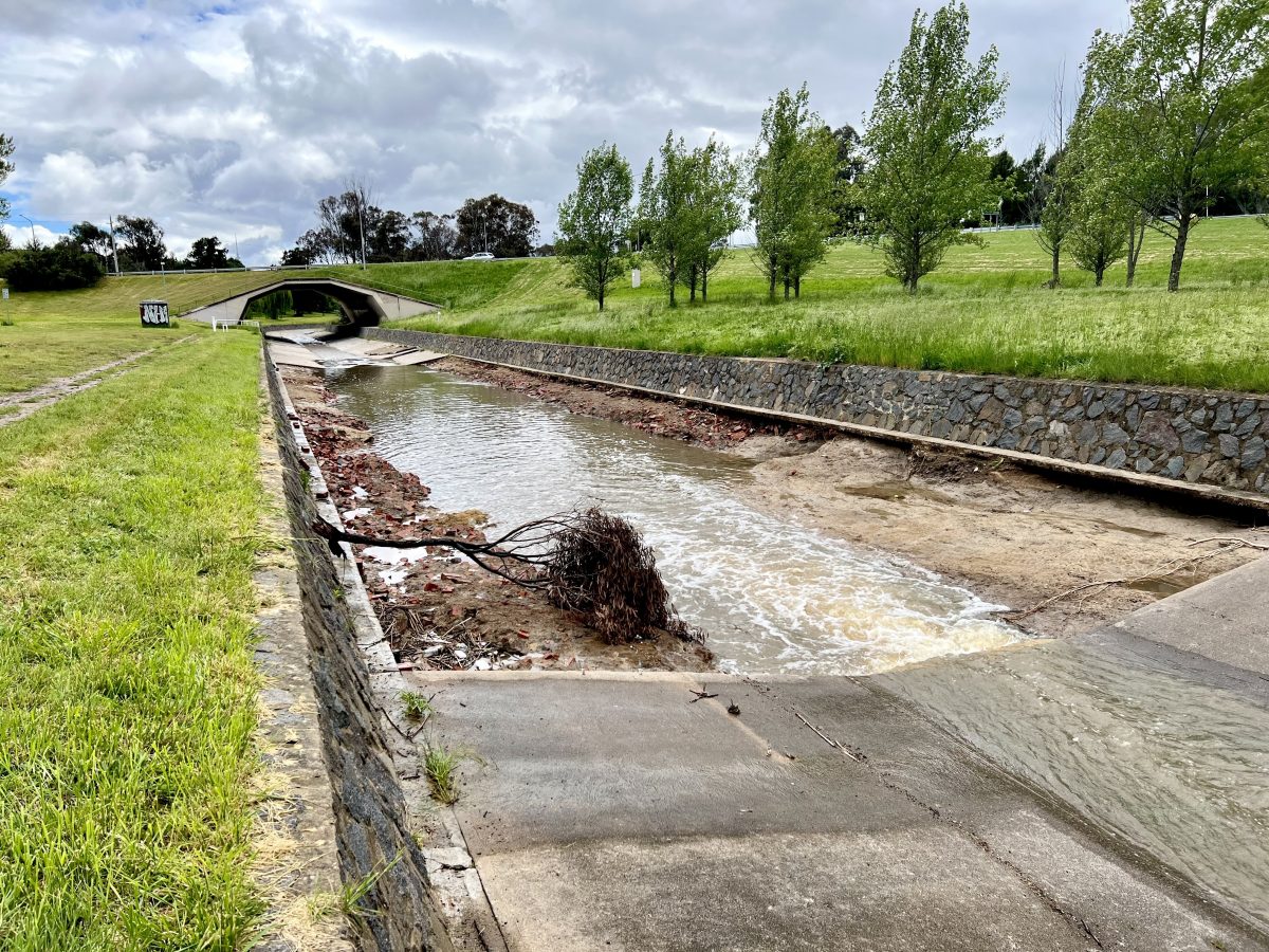
Tonnes of concrete were stripped from the Yarralumla Creek stormwater channel during a storm in October 2022. Photo: James Coleman.
In other words, there was just as much chance (one per cent) Woden would be flooded again in 1972 as there is in 2071.
Confused? You’re not alone. That’s why the BOM prefers the “annual exceedance probability” (AEP) figure, which conveys the probability or chance that exists for each passing year.
For instance, “if a storm water drain is designed to cope with a 10 per cent AEP (10-year ARI) rainfall event, there is a 10 per cent chance of it’s being overtopped next year, a 39 per cent chance in the next five years, and 63 per cent chance in the next 10 years”.
Not every flood event qualifies, either. It has to be a similar amount of rain in a similar window of time.
“The reason that some people may perceive the ‘100-year event’ to occur more frequently … is that instead of focussing on a single point (rain gauge) and a single duration, they include in their considerations an area of significant size and a wide range of durations,” the BOM says.
Looking at the weather station in Curtin, it recorded 54 mm of rain during Saturday’s storm, or around half the amount received by neighbouring suburbs on 26 January 1971.
But while it may not have reached the same level there, other pockets of Canberra will have reached their ‘1-in-100 year records’ over the weekend … and have just as much chance of doing it again next year.